Drone Job Categories
-
360° Panorama shots
-
Aerial Cinematography
-

Aerial Mapping
-
Aerial Photogrammetry
-
Aerial Photography
-
Aerial Photography and Videography
-
Aerial Site Survey
-
Aerial Videography
-
Building & Structural Inspections
-
Business Indoor FPV Video
-
Cinematic Aerial Photography
-
Cinematic Property Videos & Walkthroughs
-
Cinematic Video
-
Commercial Aerial Inspections
-
Commercial and Residential Real Estate
-
Commercial Photography & Videography
-
Commercial Real Estate
-
Commercial Video
-
Construction Documentation
-

Construction Mapping
-
Construction Photography and Videography
-
Construction Progress Monitoring
-
Construction Site Monitoring
-
Corporate Events
-
Critical Infrastructure Inspection
-
Damage Assessment
-
Deer Recovery
-

Disaster Assessments
-
Drone Mapping
-
Drone Photo & Video
-
Drone Photography & Videography
-
Editing & Post-Production
-
Environmental Assessments
-
Event Coverage
-
Exterior Photography
-
FPV Footage
-
Ground & Aerial Photography
-
Ground & Aerial Videography
-
Headshots
-
Hunting Game (Thermal)
-
HVAC Thermal Inspection (Roof)
-
Indoor Fly Through
-
Industrial Inspection
-
Infrared Inspections
-
Infrastructure Aerial Inspection
-
Insurance Inspections
-
Interior Photography
-
Land Mapping
-
Large Estates & Mansions
-
Listing Photos
-
Livestock Recovery
-
Mapping & Photogrammetry
-
Marketing & Promotional Video
-
Orthomosaic Map
-
Orthomosaics
-
Pet Recovery
-
Photo and Video Editing
-
Photogrammetry
-
Portraits
-
Pre-Construction Site Selection
-
Professional Head Shots
-
Racing Sports
-
Real Estate
-
Real Estate & Short-Term Rental Photography
-
Real Estate Aerial
-
Real Estate Marketing
-
Real Estate Photography
-
Residential Interior and Exterior
-
Residential Real Estate
-
Roof & Property Inspections
-
Roof Inspections
-
Site Planning
-
Social Media Clips & Reels
-
Solar Inspection & Survey
-
Solar Panel Inspections
-
Sporting Events
-
Team & Individual Photos
-
Thermal Imaging
-
Thermal Inspections
-
Thermal Mapping
-
Thermal Roof Inspections
-
Topographic Mapping
-
Twilight Photography
-
Vacant Land
-
Video Production
-
Visual Inspection
-
Wedding Outdoor Aerial Photo and Video
-
Wildlife Monitoring
Drone Certifications
-

FAA Part 107 Remote Pilot Certificate
-
OSHA 30-Hour Construction Safety
-
FAA Private Pilot Certificate, Instrument Rating
Services


0 /5.0
User review
0 /5.0
User review
0 /5.0
User review

0 /5.0
User review 0 /5.0
User review
0 /5.0
User reviewDrone Portfolio
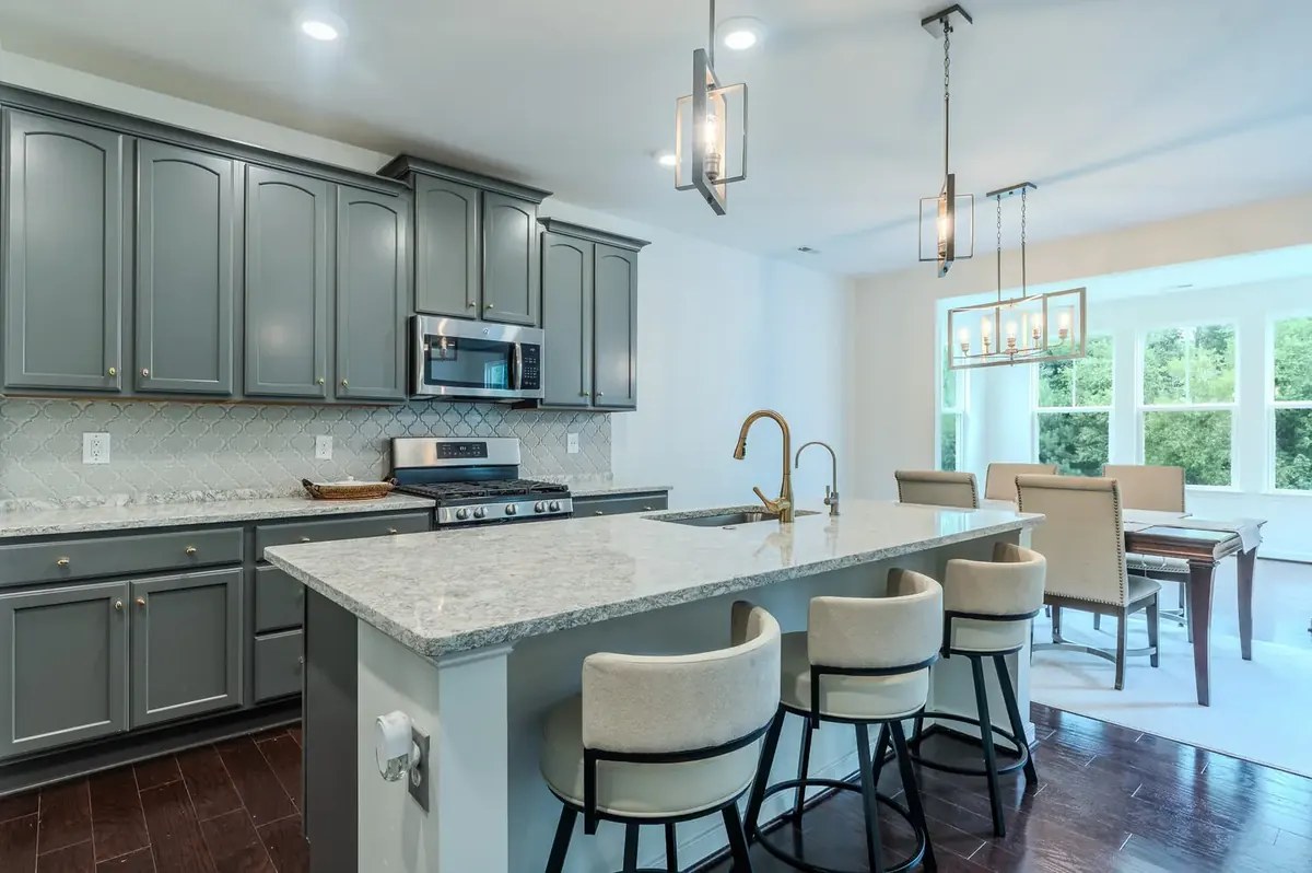
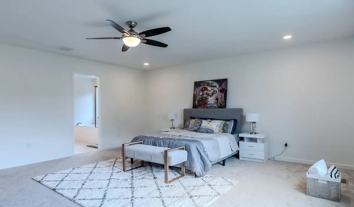
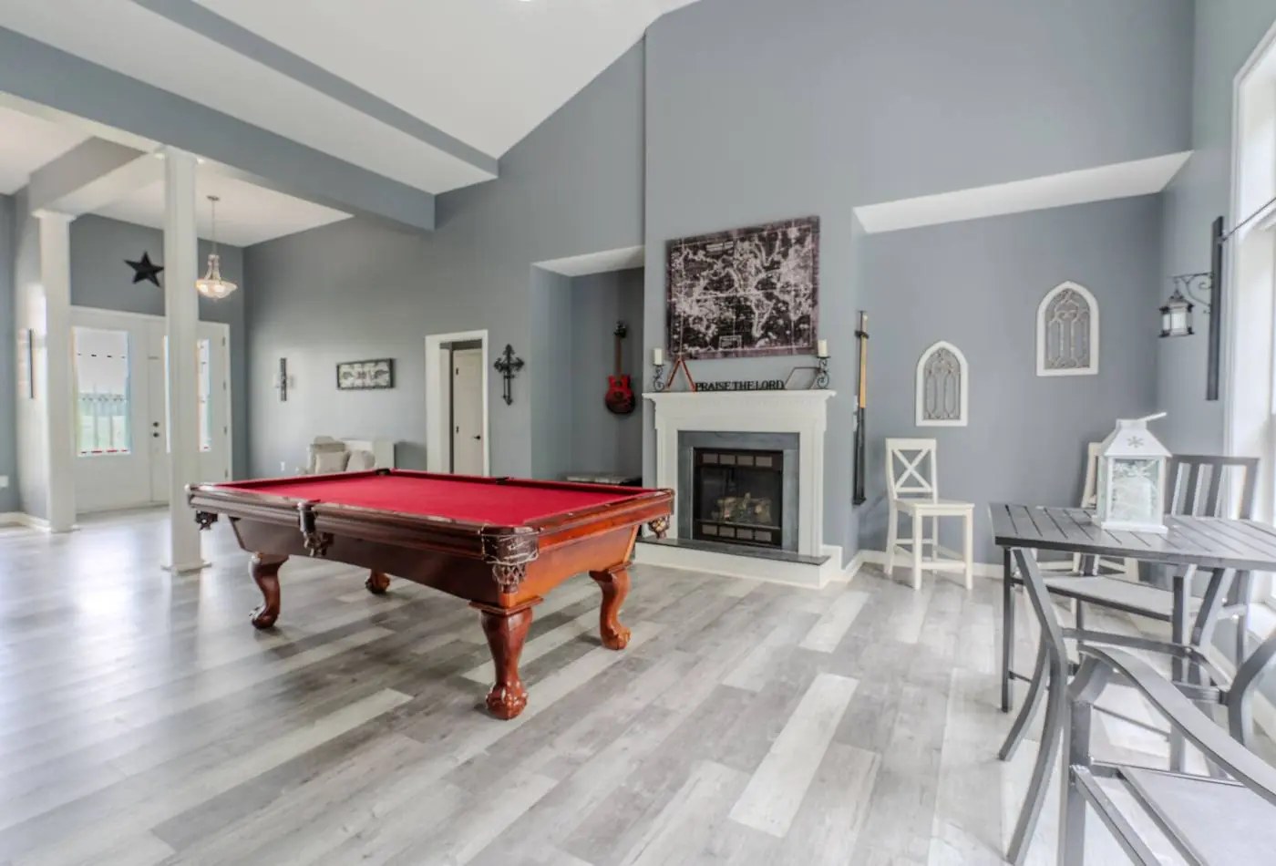
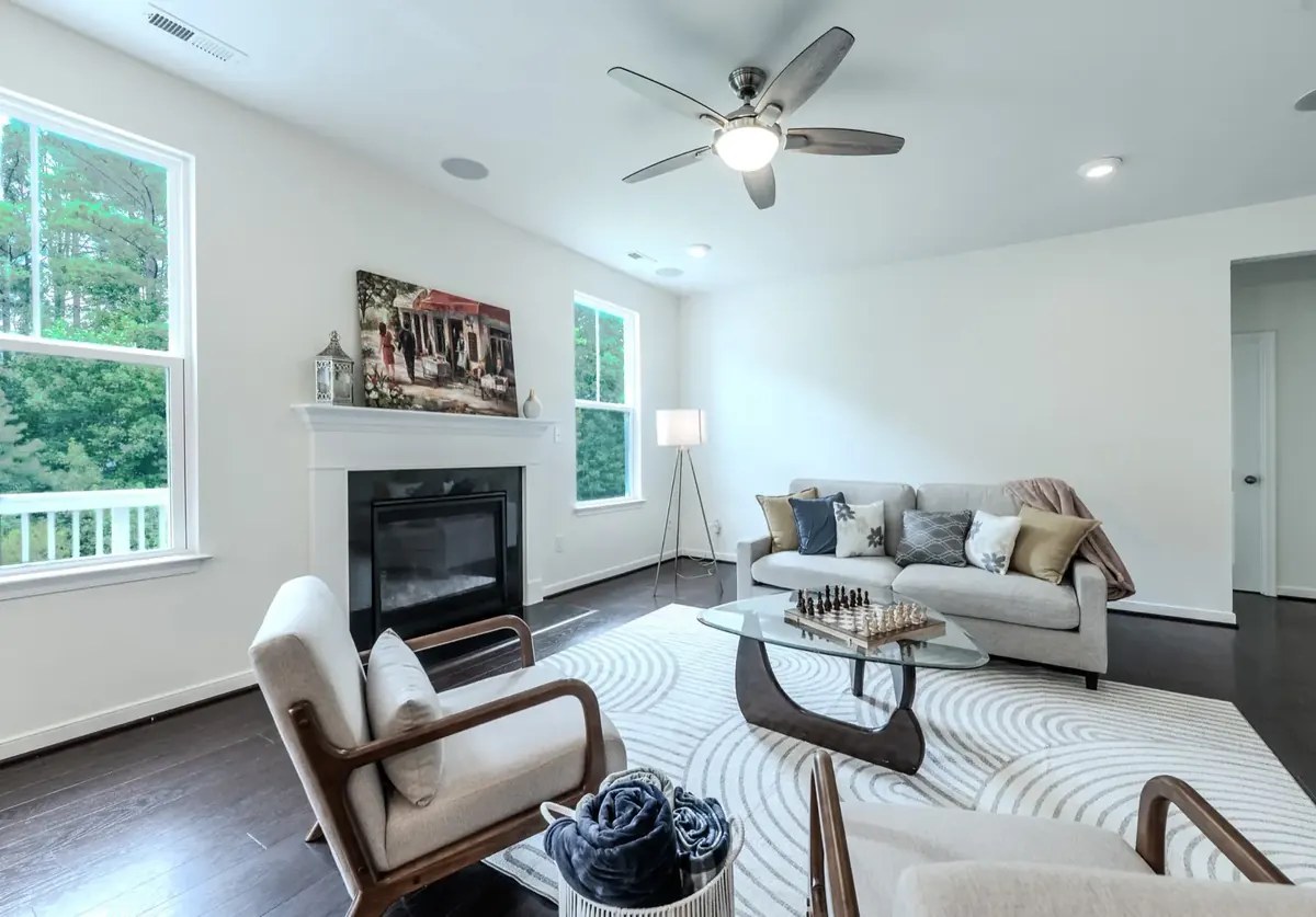

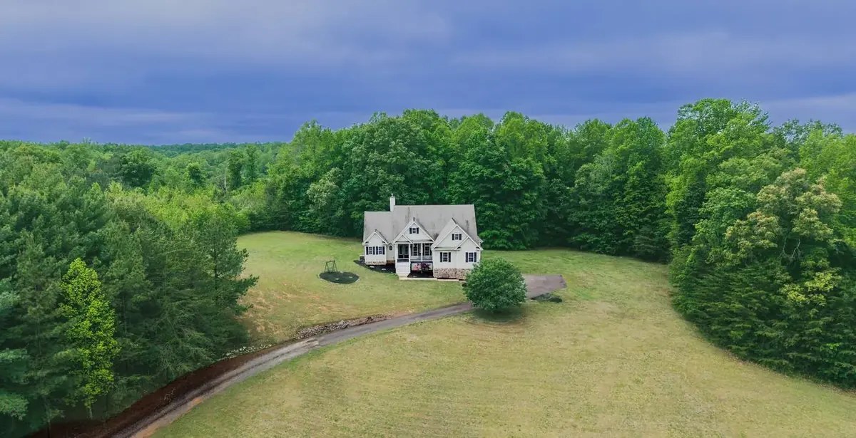
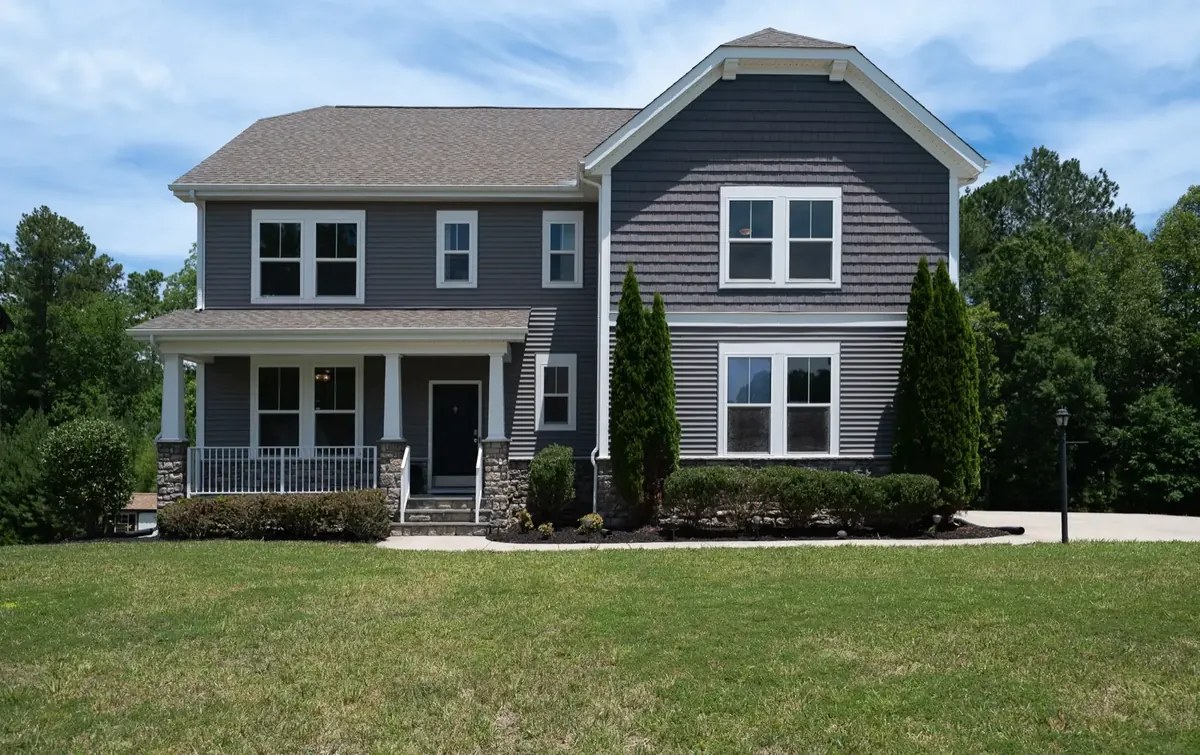
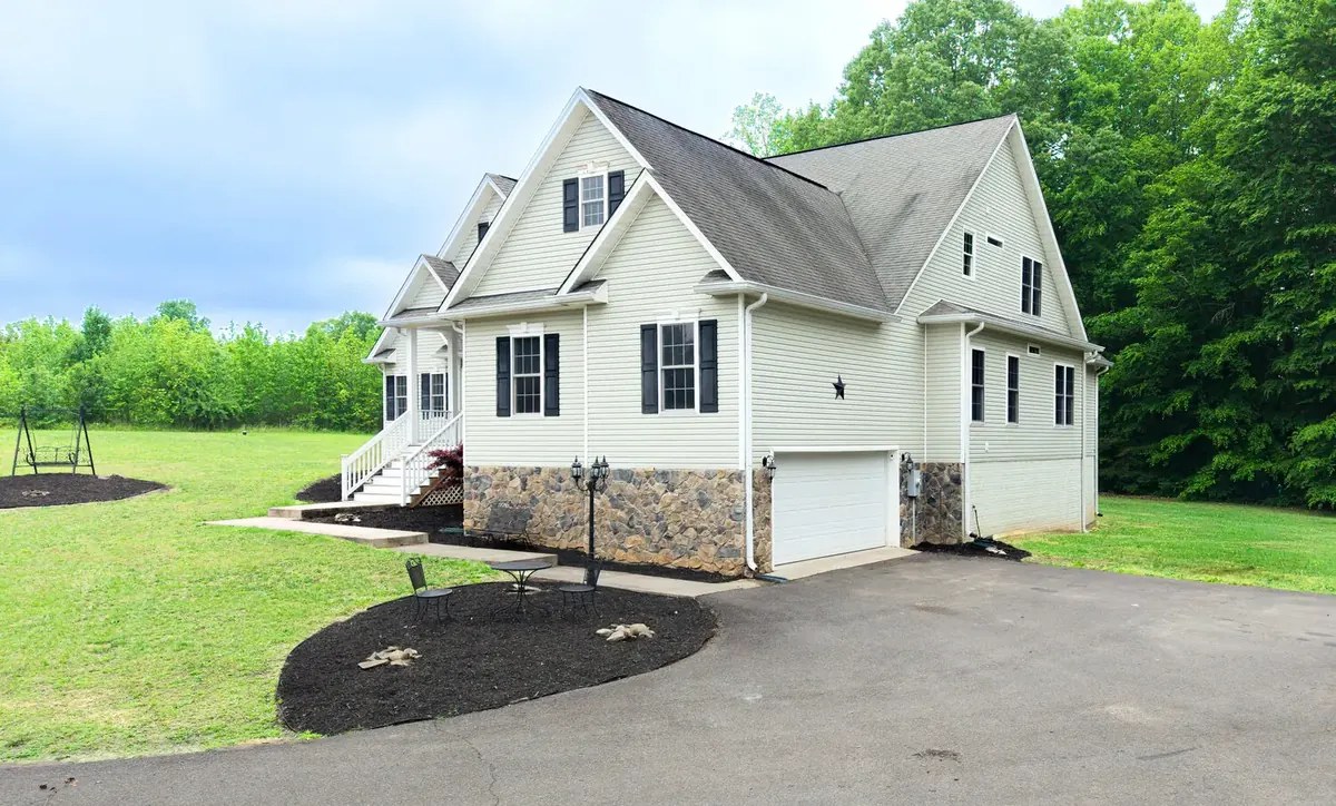
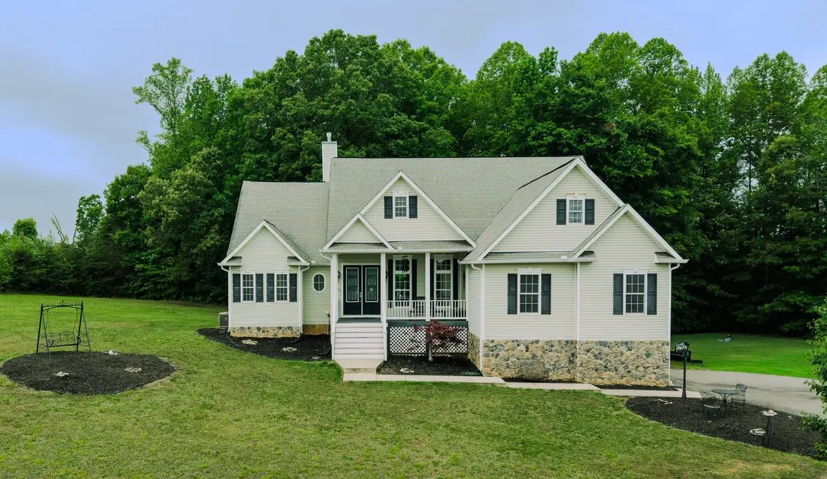
Education
-
B.S. in History
Commissioned as a U.S. Navy officer.
Experience
-
Founder
Veteran-owned aerial and ground imaging company in Richmond, Virginia. Radiometric thermal inspections and RTK mapping on the DJI Matrice 4T, real Read more
-
Navy SEAL Officer
20-year career as a Navy SEAL officer. Mission planning, risk management, and leading small teams through complex operations. That same planning Read more
Fequently asked questions
What areas do you serve?
Based in Richmond, Virginia. I cover all of Virginia, plus Maryland and North Carolina. Travel outside the local area is quoted up front, before the job is booked.
Are you certified and insured?
Yes. FAA Part 107 certified Remote Pilot, OSHA 30-Hour trained, and fully insured. A certificate of insurance is available on request, and additional insured is available.
What thermal capability do you have?
Radiometric thermal imaging on the DJI Matrice 4T, flown in-house. Radiometric means every pixel carries a temperature value, not just a heat picture. Typical work: roofs and building envelopes, solar arrays, electrical and mechanical equipment, and game or livestock recovery.
Is your RTK mapping a legal survey?
No. RTK on the DJI Matrice 4T delivers centimeter-level, survey-grade accuracy for mapping, orthomosaics, and site documentation. For anything that must be legally recorded, such as a boundary survey, I team with a licensed Virginia surveyor.
Do you handle airspace authorizations?
Yes. FAA airspace authorizations, including LAANC near airports, are handled during mission planning before the flight. If a site needs special approval, I tell you up front and build the lead time into the schedule.
What do I receive and how fast?
Deliverables and turnaround are spelled out in the quote before the flight: edited photos, edited video, thermal findings, or map products, depending on the job. Rush delivery and raw footage are available as add-ons.