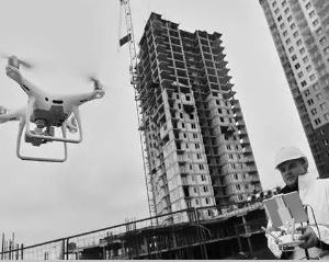
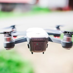
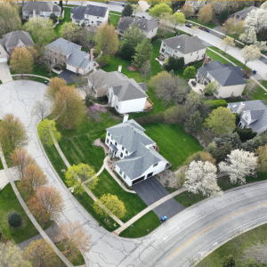
Drone Photography & Videography
Showing 1–16 of 34 results
-
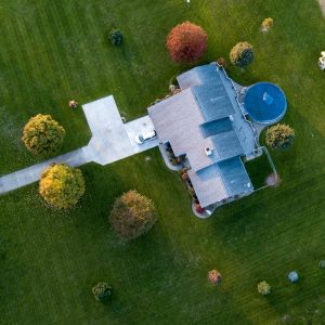
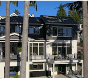
Aerial Photographyin South Carolina by Real Estate Imaging Services
$185.00 Read more -
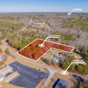
Aerial Real Estate Photography in Georgia by Air Aperture
Read more -
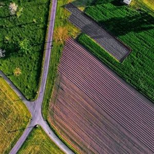
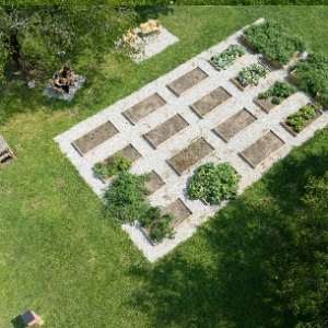
Agricultural photography in Pennsylvania by Zenith Drone Services
Read more -

Captivate your audience with Video/Animation in California by Collasoul Media
Read more -

Capture stunning Dollhouse in Massachusetts by Views by Elevation UAV Aerial Solutions
Read more -

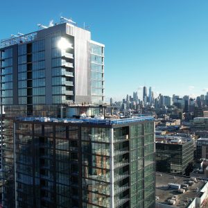
Commercial Property and Architectural Photography in Oklahoma by Vision Trail Media LLC
Read more -
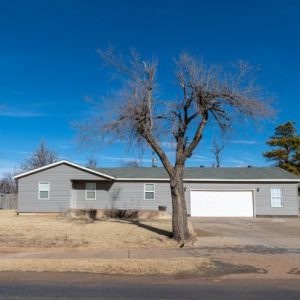
Commercial Real Estate Drone Photography in Minnesota by Airman Drone Services
$250.00 Read more -
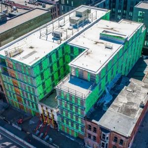
Construction Photography in Lithonia by SkyVues UAS
Read more -
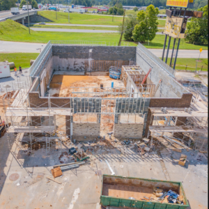
Construction Progress Documentation in Georgia by Air Aperture
Read more -
Drone / Aerial Photography in North Carolina by RP Media Enterprises LLC
Read more -
Drone Images photography in Oklahoma by Vision Trail Media LLC
$25.00 Read more -
Drone Photography & Videography in Minnesota by High Angle Imagery
$150.00 Read more -
Drone photography and videography in Gresham by FlightPNW
Read more -
Drone Photography and Videography in Ohio by SOARTIZ MEDIA
Read more -
Drone Photography in Houston, Texas by Aerial Easel
$150.00 Read more -
Drone Photography in Massachusetts by Elevation UAV Aerial Solutions
Read more