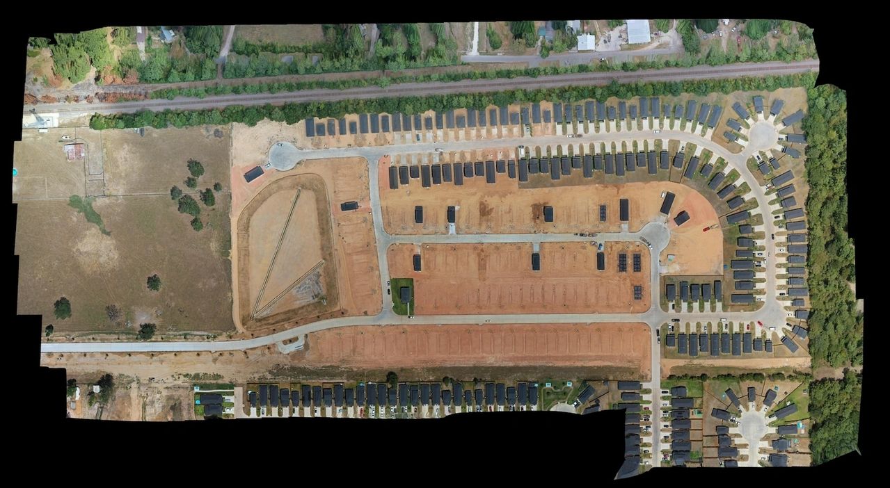
High-resolution aerial photography and site mapping providing developers, real estate investors, and civil engineers with clear overhead visual intelligence for land acquisition evaluations and subdivision site updates in Cypress, Texas.
Capabilities & Services Offered:
-
Land Parcel & Boundary Captures: High-altitude aerial views capturing acreage boundaries, surrounding access points, and site contours.
-
Subdivision Development Progress Sweeps: Chronological flight passes recording grading progress, utility layouts, and lot clearing.
-
Investor & Planning Media Assets: High-resolution digital photographic assets formatted for land acquisition proposals and planning board presentations.
Location
Fequently asked questions
How do drone surveys support real estate land acquisitions?
Aerial captures deliver real-time visual records of site topography, access roads, and adjacent developments, helping developers make informed purchasing decisions.
What region is covered by Sky Aerial Services?
Operations are centered in the Greater Houston metropolitan area and surrounding Texas communities.