Drone Job Categories
-

Accident Reconstructions
-
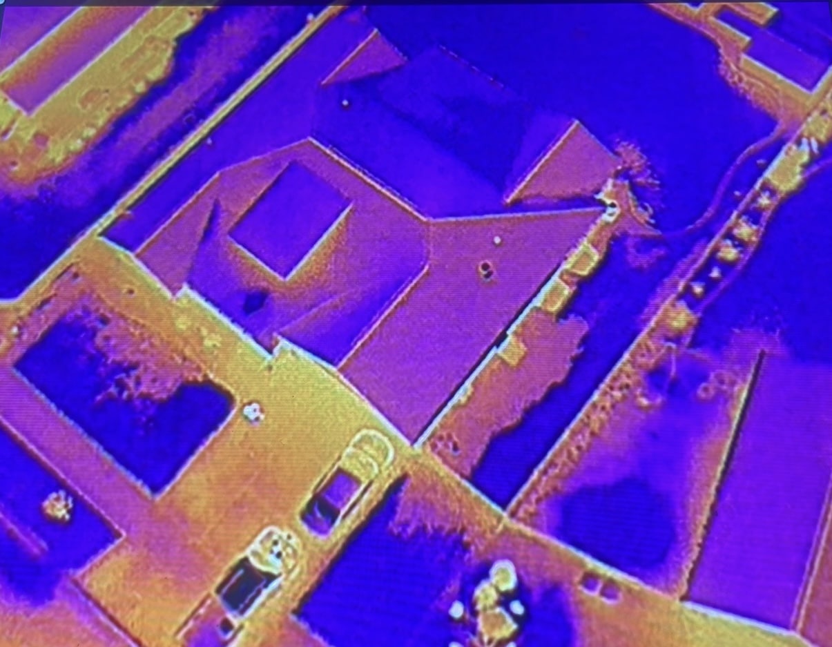
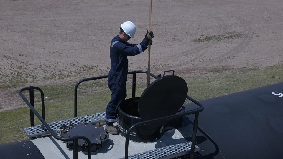
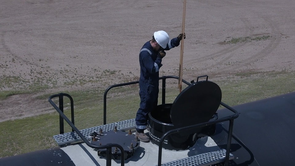
Aerial Inspections
-
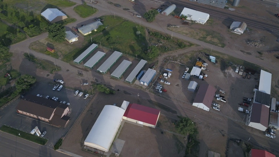
Aerial Photography
-
Aerial Videography
-
Agricultural Shows & Events
-
Agriculture & Farming
-
Archaeological Surveys
-
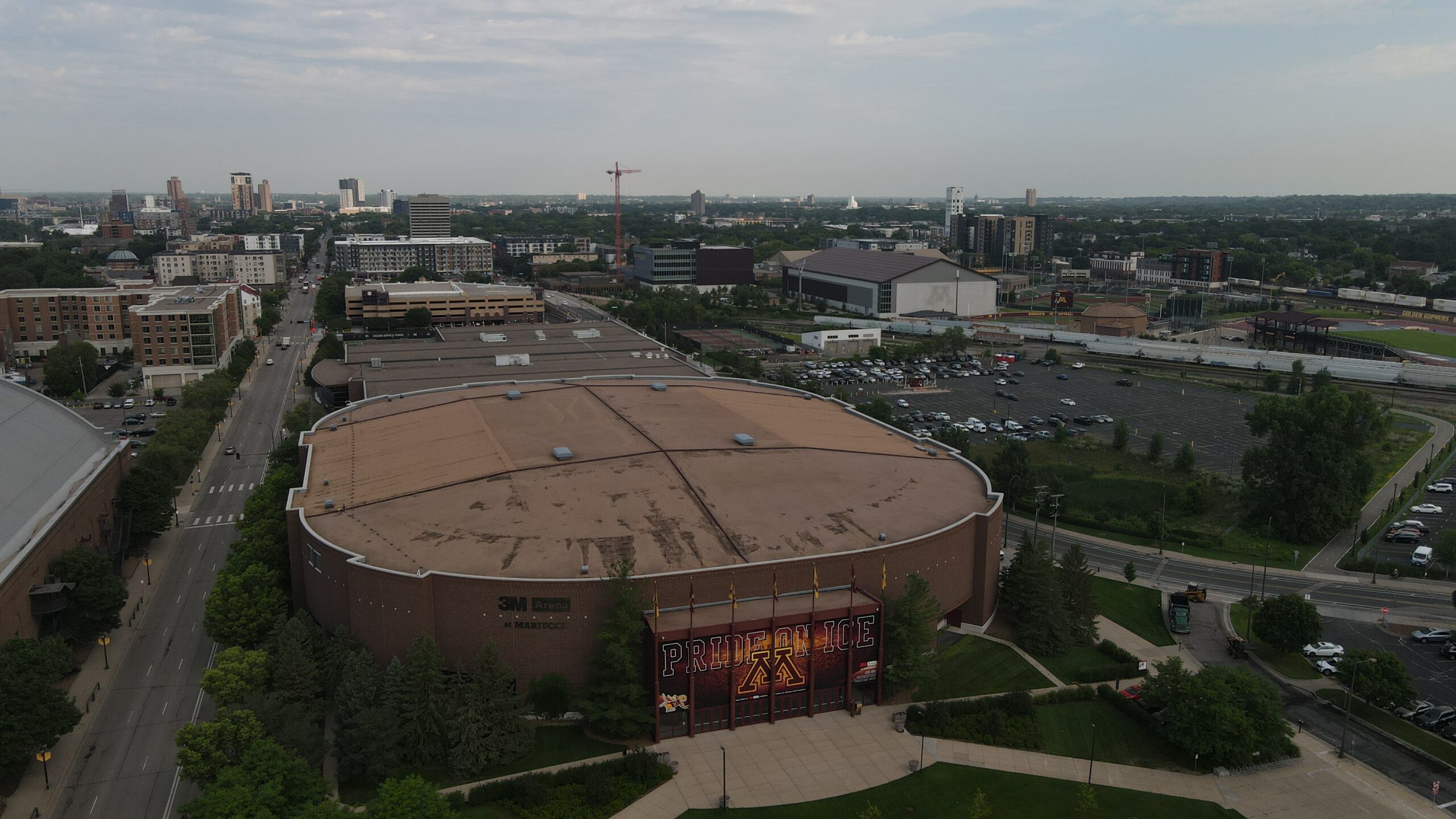
Building & Structural Inspections
-
Coastal & Marine Surveys
-
Concerts & Festivals
-
Construction Site Monitoring
-
Crop Monitoring
-
Dam & Reservoir Surveillance
-
Destination Marketing
-

Disaster Assessments
-
Emergency Services
-
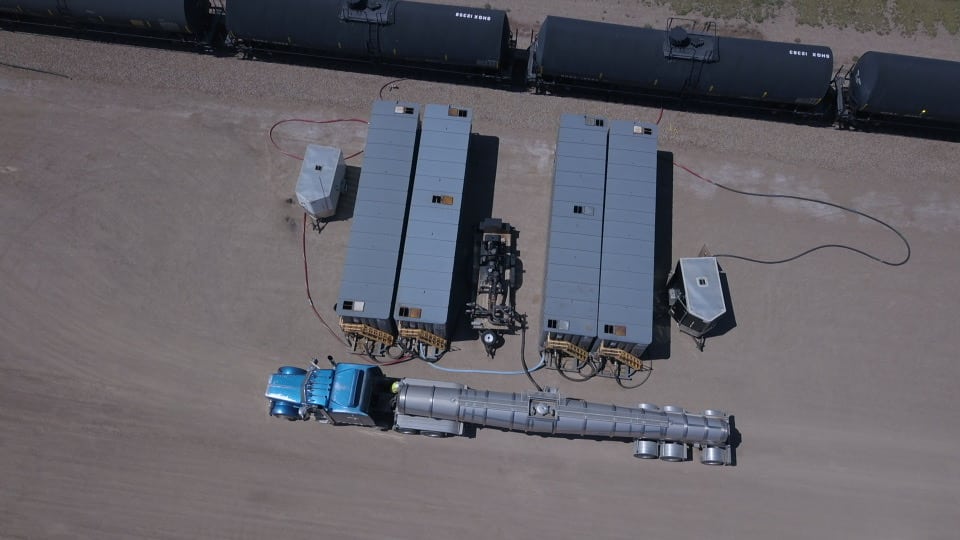
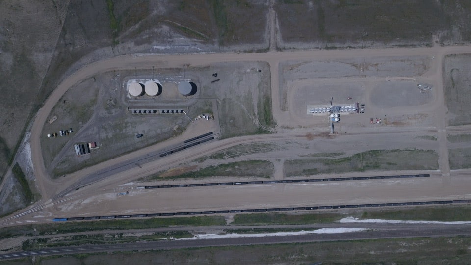
Energy & Utilities Monitoring
-
Film & TV Production
-
Fire Surveillance
-
Forest Surveys
-
Historical Properties
-
Infrastructure Assessments
-
Land & Topographic Surveys
-
Large Estates & Mansions
-
Livestock Surveillance
-
Mining & Quarry Inspection
-
Natural Disaster Monitoring
-
Resort & Hotel Promotion
-
Search & Rescue
-
Surveys & Inspections
-
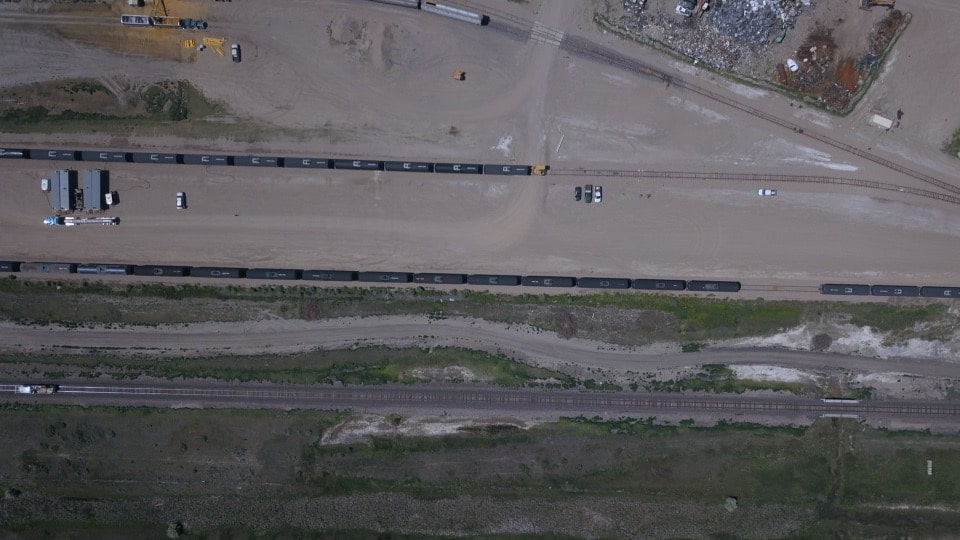
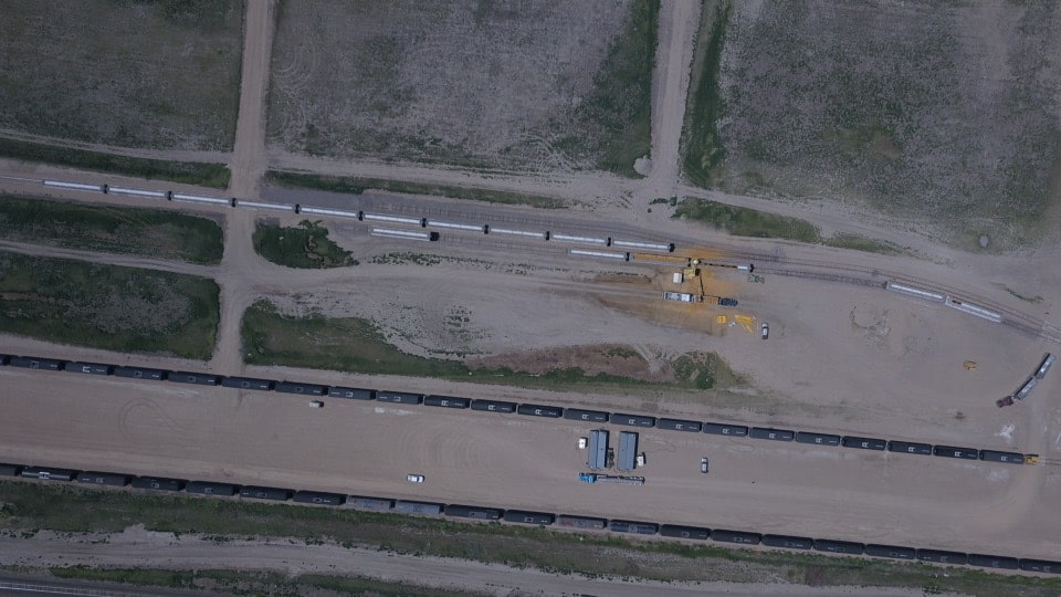
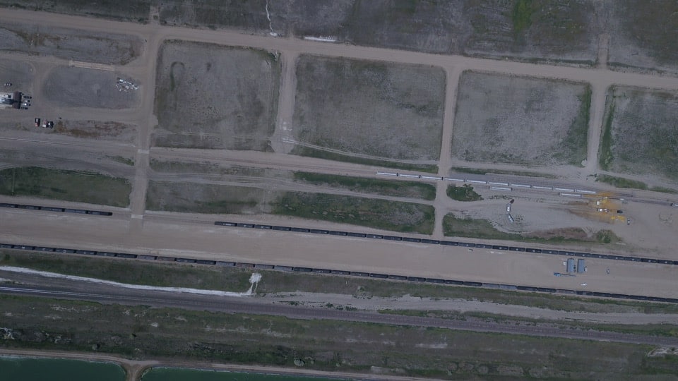
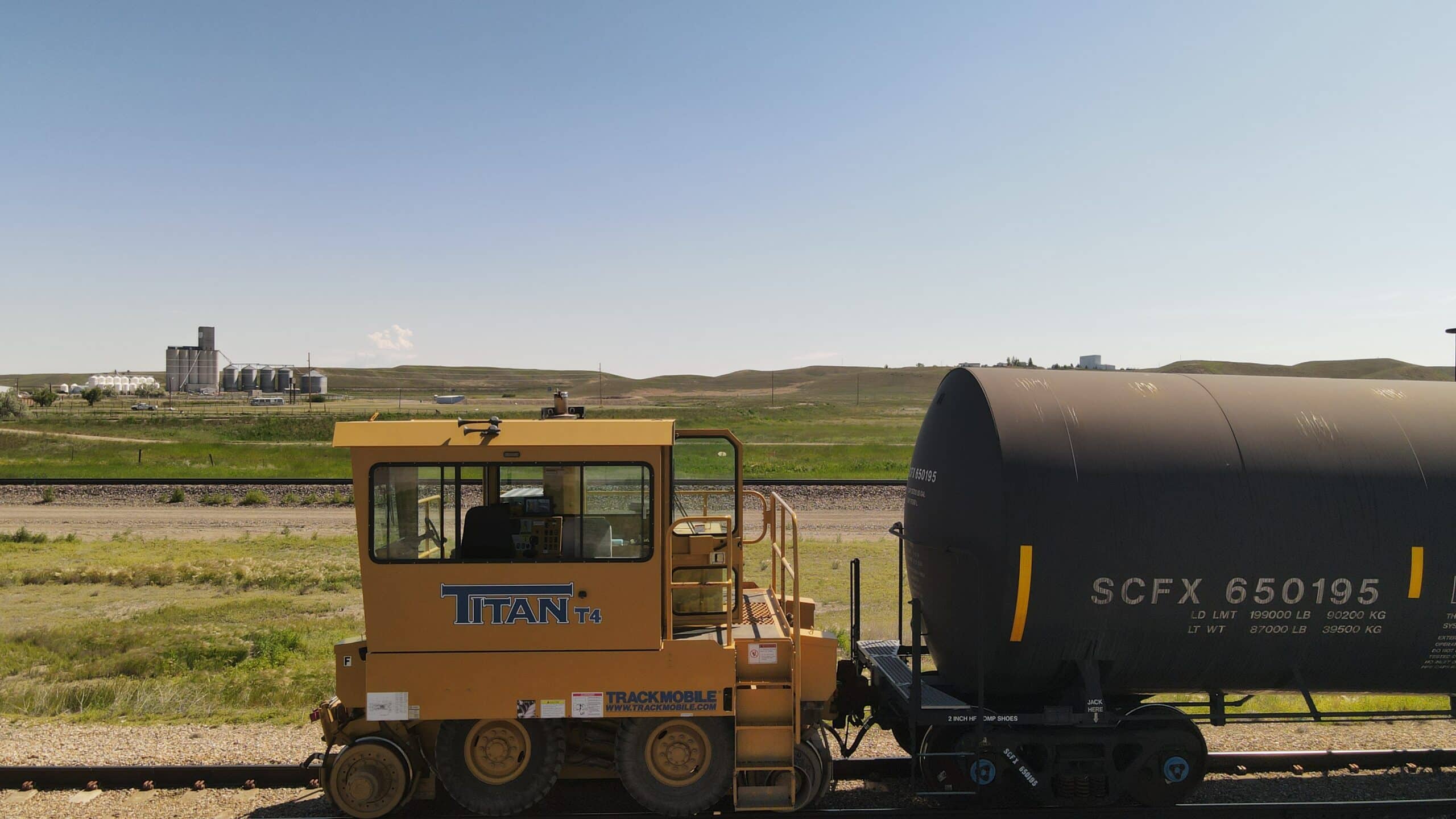
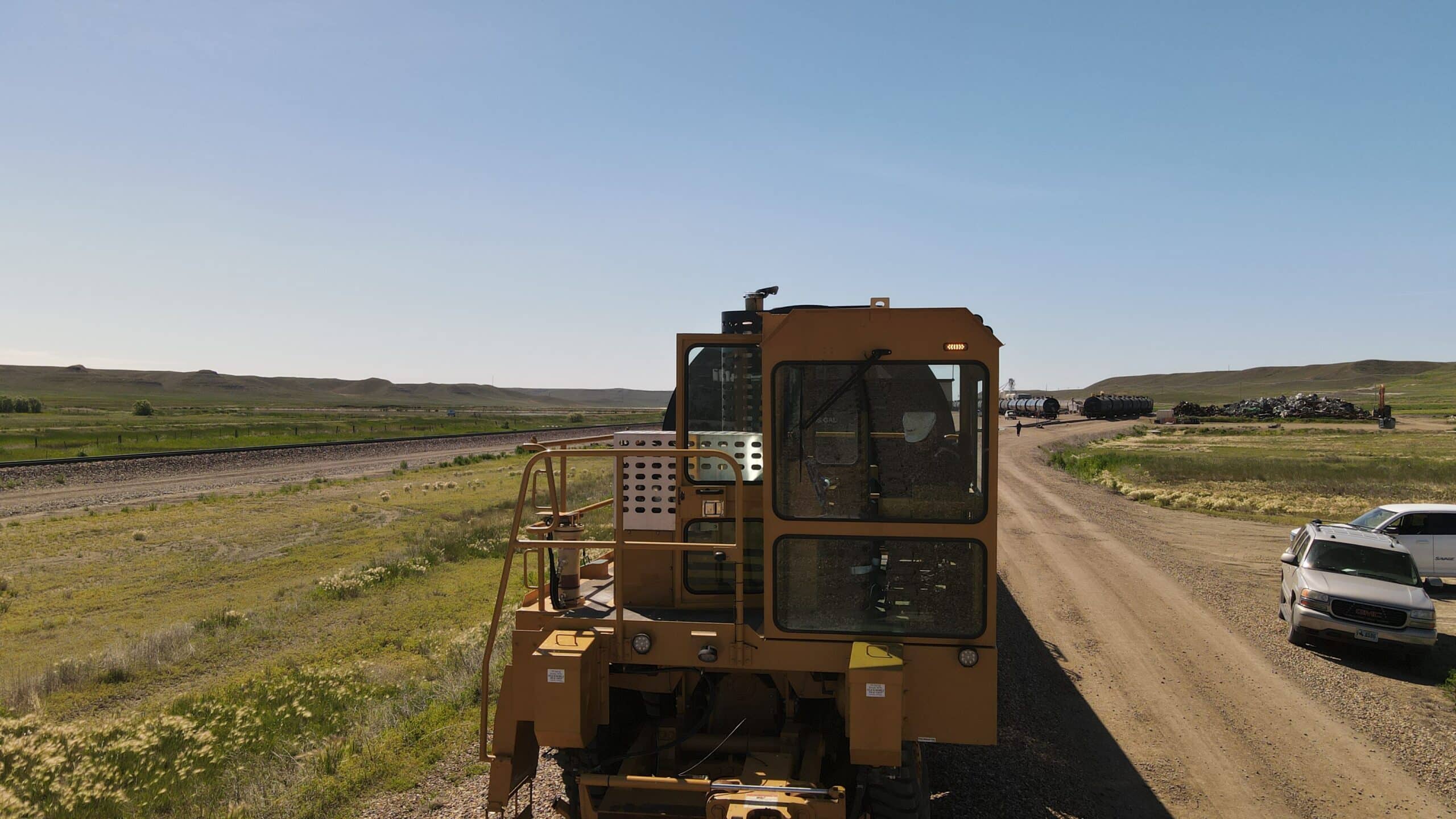
Transport & Logistics
-
Urban Planning & Development
-
Vacant Land
Drone Certifications
-

FAA Part-107 Licensed Drone Pilot #4672018
-

Real estate training
-
Aircraft control
-
Evo thermal training
-
Tfr safety
-
Field notes
-
Dc operations
-
Aircraft control
-
6/12k evo 2 training
Services


0 /5.0
User review Starting from $0.00