
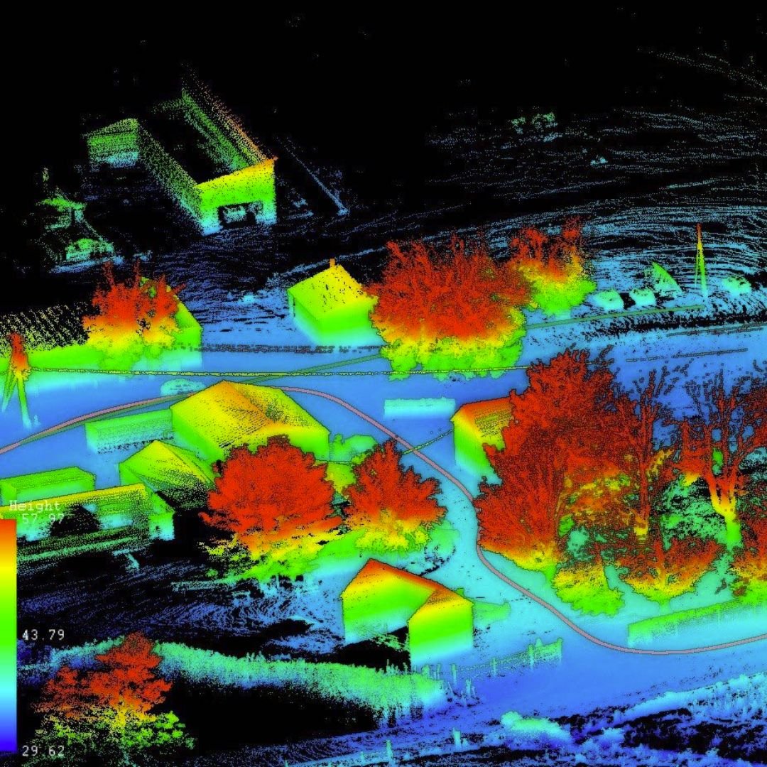


Professional aerial LiDAR mapping and point cloud data collection services in Southaven, Mississippi, and across the Mid-South region, provided by Mid-South Drone Services.
Core Capabilities & Technical Scope:
-
High-density LiDAR point cloud data collection tailored specifically for surveyors, developers, and civil engineers.
-
LiDAR data tied directly to project ground control to facilitate the seamless merging of site deliverables into ongoing engineering workflows.
-
Complementary high-accuracy photogrammetry services utilized to produce comprehensive orthomosaic property maps and detailed 3D site models.
-
Compatible digital formats structured for immediate import and utilization within standard CAD software suites.
-
Data collection options including Digital Surface Models (DSM), topographical elevation contours, and full 3D models.
-
Operations based out of Southaven, MS, with travel capability up to 100 miles across the Mid-South area.
Location
Fequently asked questions
What specific formats are the LiDAR deliverables exported in?
Deliverables are provided in requested industry-standard formats ready for direct use and integration into your CAD software.
How is spatial accuracy maintained with project coordinates?
LiDAR data collection is tied directly to established project ground control points for precise deliverable alignment.
Do you offer photogrammetry alongside LiDAR?
Yes, photogrammetry is provided in conjunction with LiDAR to deliver full-property orthomosaic maps and 3D surface models.
Are you a licensed surveyor?
Mid-South Drone Services does not have a certified surveyor on staff, but maintains partnerships with licensed land surveyors to provide signed and stamped data when required.
What is your primary service area and travel distance?
Services are centered in Southaven, Mississippi, serving the broader Mid-South with travel up to 100 miles.