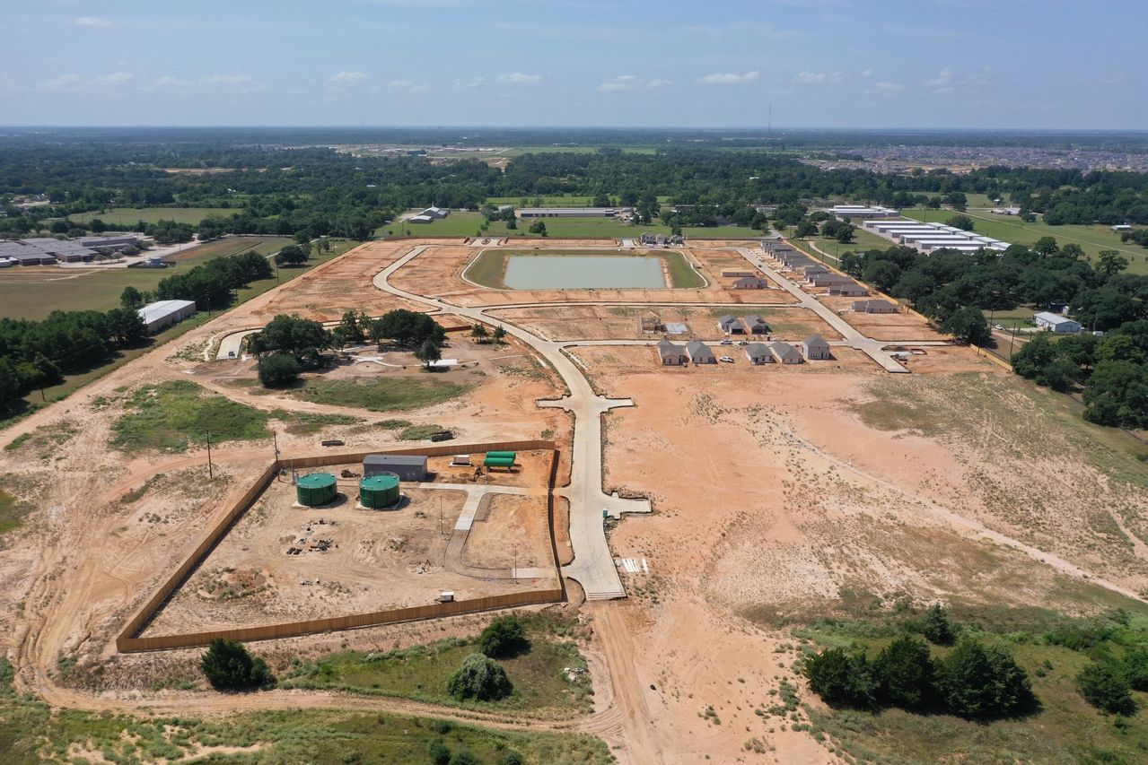


State-of-the-art aerial mapping and orthomosaic data collection capturing accurate visual layouts for commercial real estate, land development, and site management projects across Cypress, Texas.
Capabilities & Services Offered:
-
Georeferenced Overhead Maps: High-resolution stitched orthomosaic images detailing layout geometry and terrain features.
-
Site Measurement & Layout Tracking: Visual tracking tools assisting project managers with property boundary assessments and feature overlays.
-
Advanced Drone Sensor Capture: Utilizing modern remote sensing hardware to capture consistent, high-fidelity spatial data.
Location
Fequently asked questions
What technology does Sky Aerial Services use for mapping?
Latest-generation drone aircraft paired with high-resolution camera sensors are deployed to capture crisp visual mapping data.