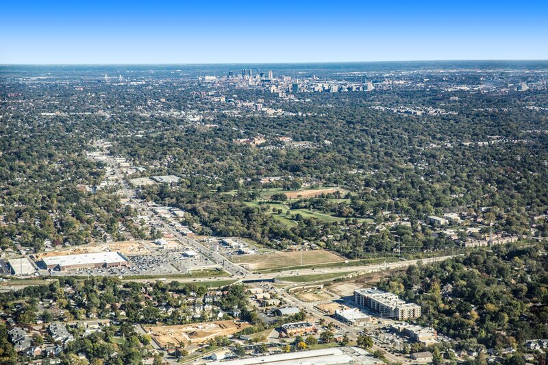


Specialized high-altitude visual capture services using traditional airplane platforms to document expansive landscapes, large land tracts, and wide-area developments.
Capabilities & Services Offered:
-
High-altitude aerial photography captured from fixed-wing aircraft.
-
Wide-perspective landscape, community, and large property photography.
-
Visual documentation for large-scale land surveys and regional marketing.
Location
Fequently asked questions
What is the difference between airplane aerials and drone aerials?
Airplane aerials allow for higher altitude and wider-area coverage of extensive land tracts, whereas drones focus on closer, low-altitude perspectives.