

Unlock the Benefits of Drone Imagery for Construction Site Management
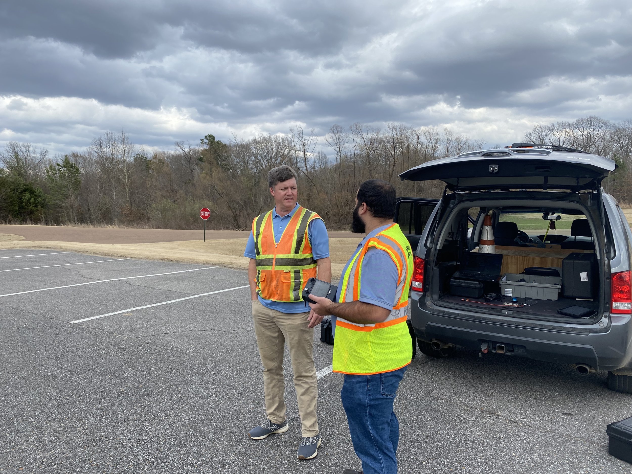
In today's fast-paced construction industry, staying ahead means leveraging the best tools available. Our drone imagery services for construction in Southaven MS offer a comprehensive solution for managing job sites effectively, providing high-quality aerial images that serve a variety of essential purposes throughout the project lifecycle.
Key Services:
- Drone Mapping: Our drone mapping service creates detailed, high-resolution maps of your construction site. These maps provide accurate topographical data that's crucial for project planning, site analysis, and progress monitoring. With precise aerial construction imagery, you can ensure your project stays on track and meets regulatory requirements.
- Asset Inventory Management: Keep track of your materials and equipment effortlessly. Our aerial imagery allows for real-time monitoring of stockpiles and resources, helping you manage inventory effectively. This service minimizes material shortages and optimizes resource usage, ultimately saving you time and money.
- Progression Images: Document the progress of your construction project with regular aerial images taken throughout the project lifecycle. These progression images provide a visual timeline that can be shared with stakeholders, ensuring everyone stays updated on project milestones and developments.
Benefits of Our Drone Imagery Services:
- Early Problem Detection: Our drone construction monitoring helps you identify potential issues before they escalate into costly problems. By providing a bird's-eye view of your construction site, you can quickly spot discrepancies and address them proactively.
- Enhanced Collaboration: Job site imagery can be easily shared with investors, architects, and team members, even if they're miles away. This seamless aerial site documentation fosters collaboration and keeps all stakeholders informed, promoting better communication and project alignment.
- Efficiency and Cost Savings: Traditional site assessments can be time-consuming and labor-intensive. Our drone imagery services for construction streamline the data collection process, allowing you to focus on critical tasks while reducing labor costs and project delays.