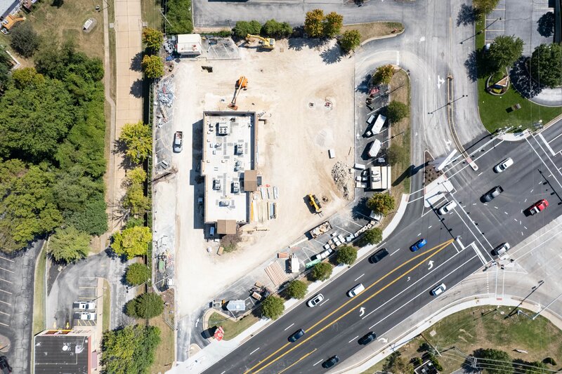


Targeted aerial drone monitoring and ground photography for active construction sites, providing clear visual documentation for developers, project managers, and stakeholders.
Capabilities & Services Offered:
-
High-altitude aerial progress photos capturing site development over time.
-
Structural visual assessments from unique overhead perspectives.
-
High-resolution video coverage highlighting site progression and safety milestones.
-
Documented visual records for project updates and client presentations.
Executed by an FAA-licensed and insured drone pilot.
Location
Fequently asked questions
How quickly can I expect a response to project inquiries?
You can fill out the site submission form to receive a response within 24 hours.
How do drone visuals assist construction management?
Drones provide a clear, elevated view of active construction sites, making it easy to document progress and monitor ongoing work safely.