Mapping & GIS
Drone services for mapping and GIS provide high-resolution aerial data for precise spatial analysis. Licensed pilots deliver efficient solutions for urban planning, environmental studies, and infrastructure development.
Showing all 15 results
-

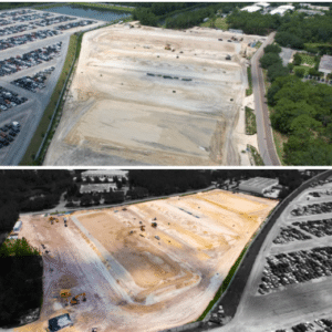
Contour and Map Creation Services in TN by Drone Link
Read more -
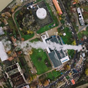
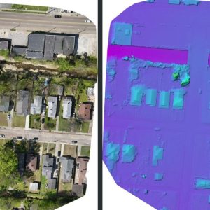
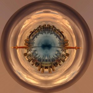
Drone Orthophoto Map and 3D Model Generation in north carolina by Aerial 17
Read more -

Drone Photogrammetry Services in TN by Drone Link
Read more -
Enterprise Drone Services in California by Aerial Reflections & Ground Media
Read more -
Flying Coyote Aerial Photography – Memphis, TN Your Local Experts in Orthomosaics, 3D Models & Mapping (Photogrammetry)
$300.00 Read more -
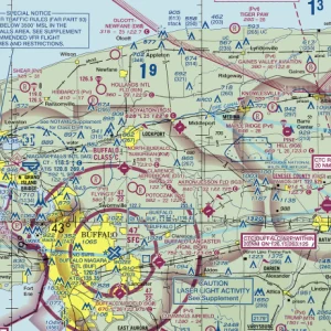
Lost Pet Search & Rescue by Buffalo UAS in New York
Read more -
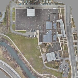
Mapping – Orthomosaic in Florida by LoQdis
$1,500.00 Read more -
Mapping/Modeling-in texas-by Drone Wurx
Read more -
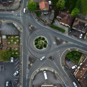
Orthomosaic Mapping in Minnesota by High Angle Imagery
Read more -
Orthomosaic Mapping in Alabama by South Alabama Drones
Read more -
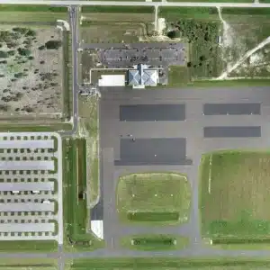
Orthomosaic Mapping Services by Buffalo UAS in New York
Read more -
Orthomosaic Mapping shoots in FL by SunCoast DronePix
$600.00 Read more -
sUAS Ground School Services by Buffalo UAS in New York
Read more -
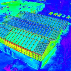
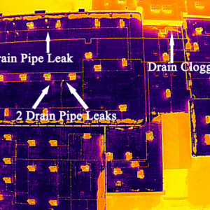
Thermal Imaging Services by Buffalo UAS in New York
Read more -
Utility Inspections Services in Texas by Timothy Butler
$500.00 Read more