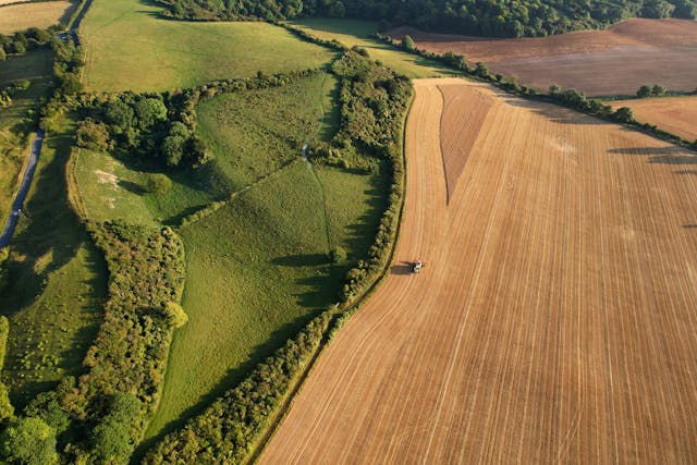

We create high-precision contour maps that assist in land development, construction planning, and environmental studies.
Our drones capture detailed elevation data, allowing us to generate topographic maps with accurate contour lines.
These maps help engineers, surveyors, and land planners make informed decisions based on real-world data.
📞 Contact us now to learn more and get a quote for contour and map creation!