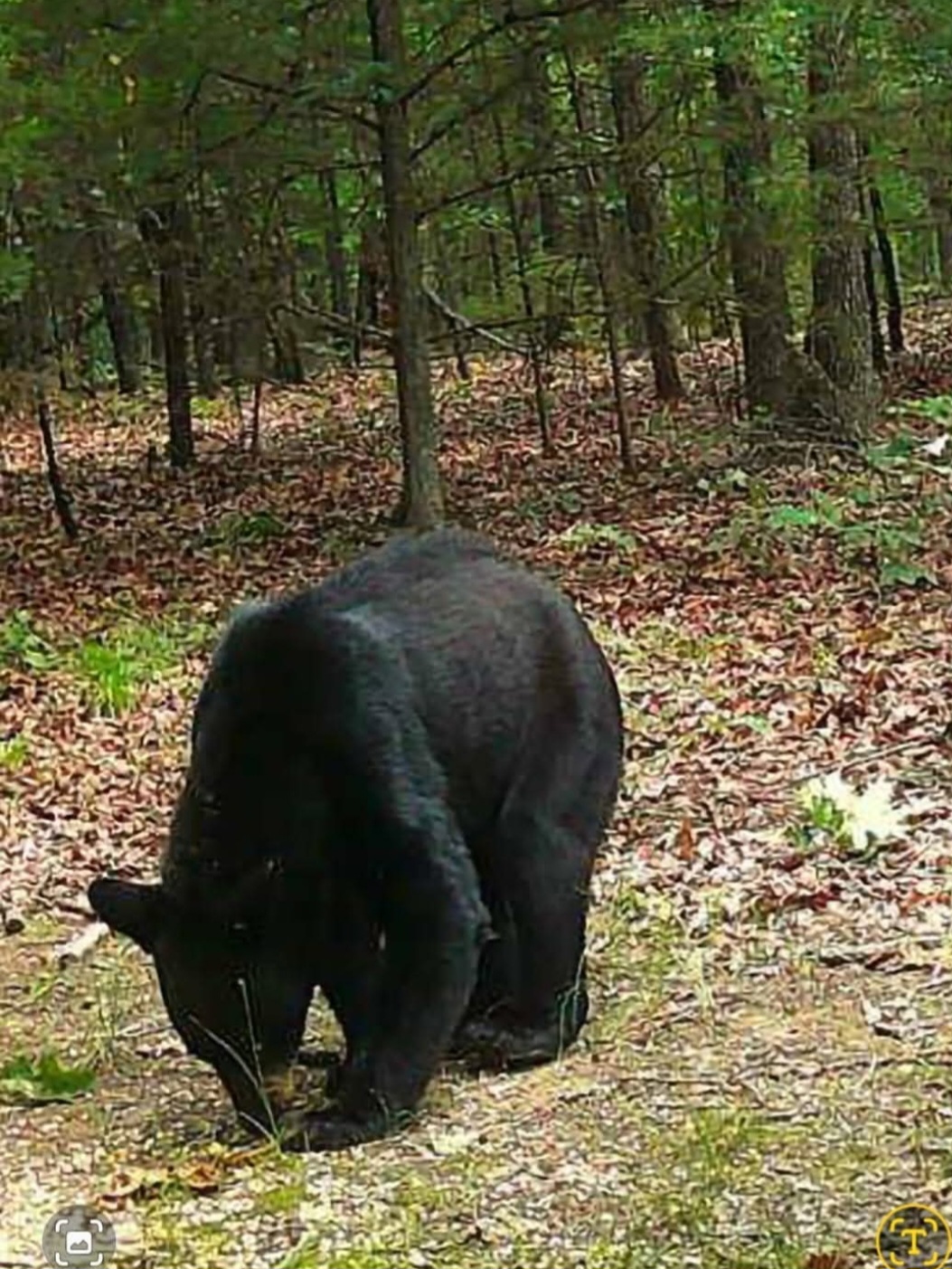



High-resolution real-time thermal drone scans assisting hunters, land managers, and conservationists with efficient game recovery and wildlife population mapping across Elkins, Arkansas.
Capabilities & Services Offered:
-
Hunted Game Location & Recovery: Deploying thermal sensors to locate harvested game rapidly with minimal environmental disturbance.
-
Wildlife Population Scans: High-altitude thermal surveys mapping animal counts, herd locations, and natural habitat distribution.
-
Low-Impact Field Tracking: Non-invasive aerial tracking preserving ground vegetation and avoiding terrain disturbance.
Location
Fequently asked questions
How does thermal imaging assist in game recovery?
Real-time thermal sensors detect heat signatures through foliage, enabling fast recovery without disturbing the surrounding environment.