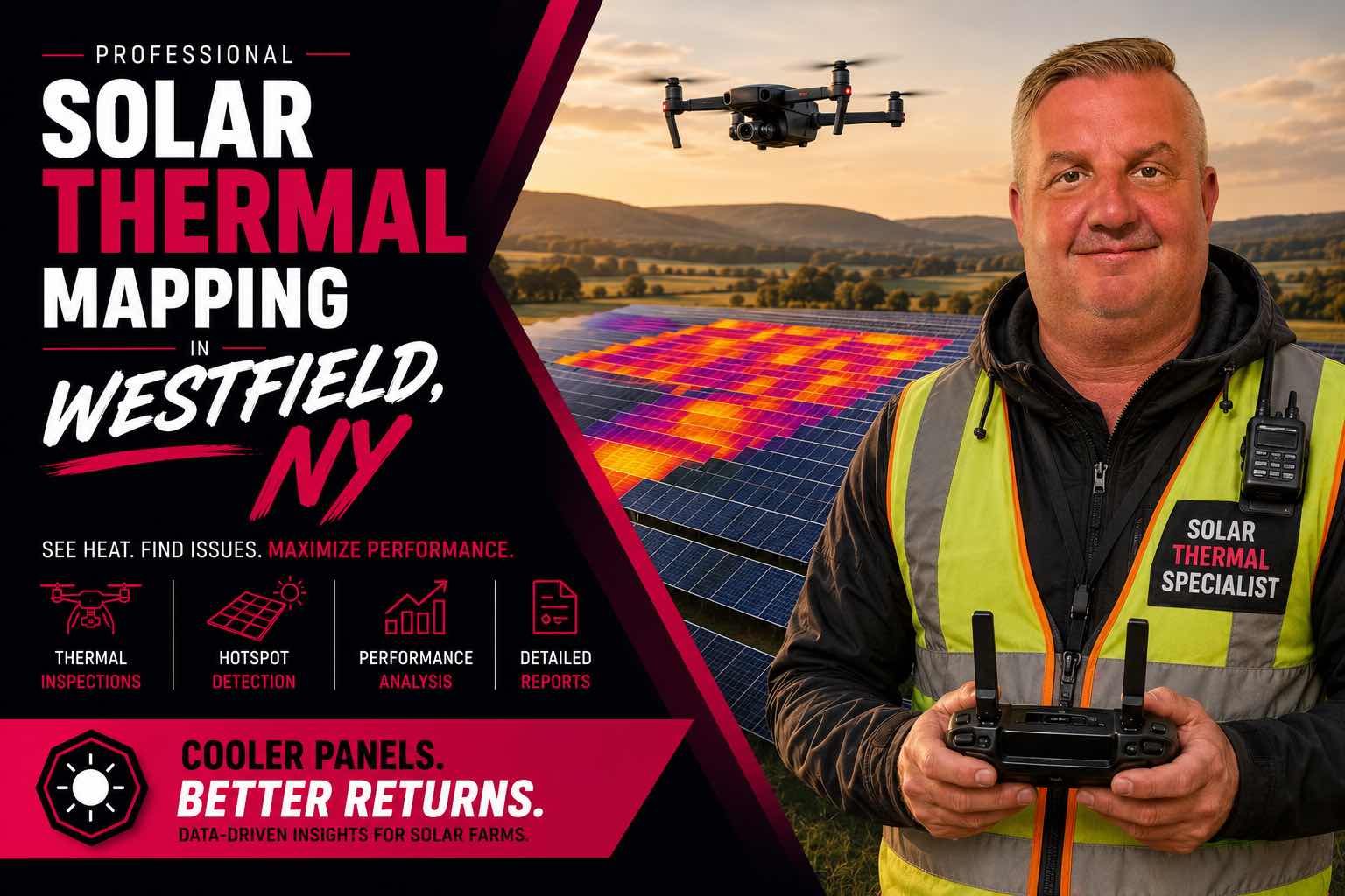

Identify potential panel faults before they become costly problems with professional solar thermal mapping in Westfield, NY. Using aerial thermal imaging, I can efficiently scan solar arrays for hotspots, temperature anomalies, and underperforming areas, providing actionable imagery and data for maintenance teams, solar farm operators, and asset managers.
For commercial solar farms, pricing is based on the size of the system.
The service includes thermal mapping of the solar array and analysis of the collected data.
Please contact Sheepdog Aerial Solutions on Drone.vet with the system size and location so an accurate estimate can be provided.
For residential solar systems, pricing is based on the number of panels, travel distance, and site conditions.
Each panel is inspected with thermal imaging to help identify possible hot spots, damaged cells, wiring issues, or panels that may not be performing properly.
Our goal is to help make sure you are getting the most possible energy production from every solar panel.
Contact Sheepdog Aerial Solutions on Drone.vet for a customized estimate.