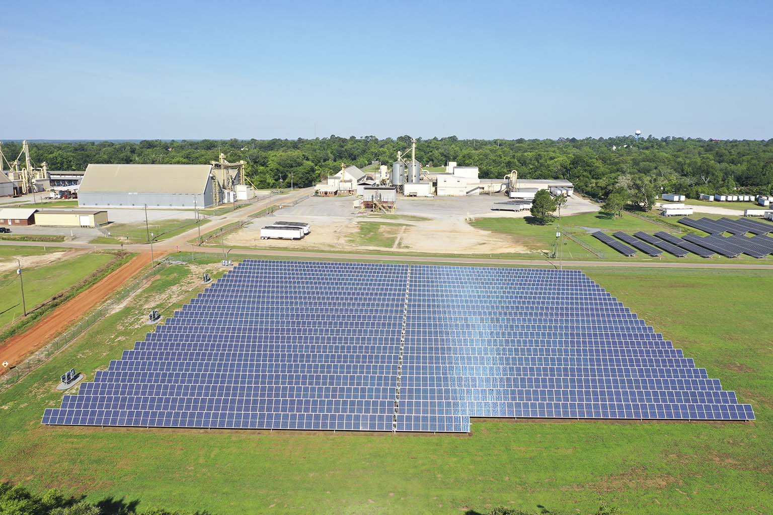
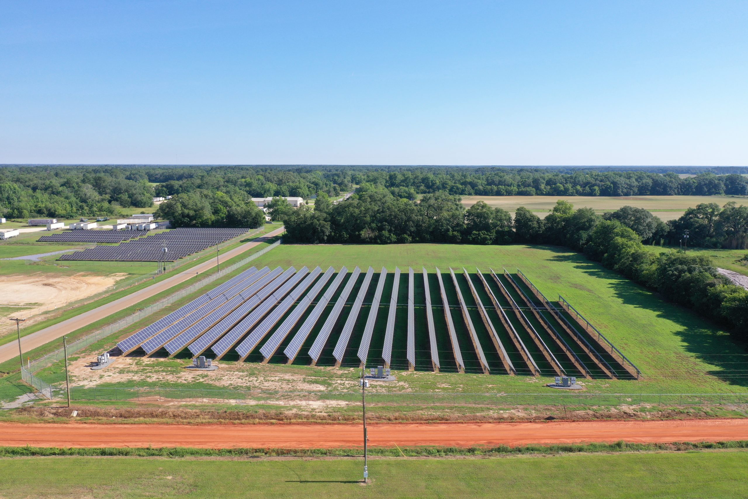
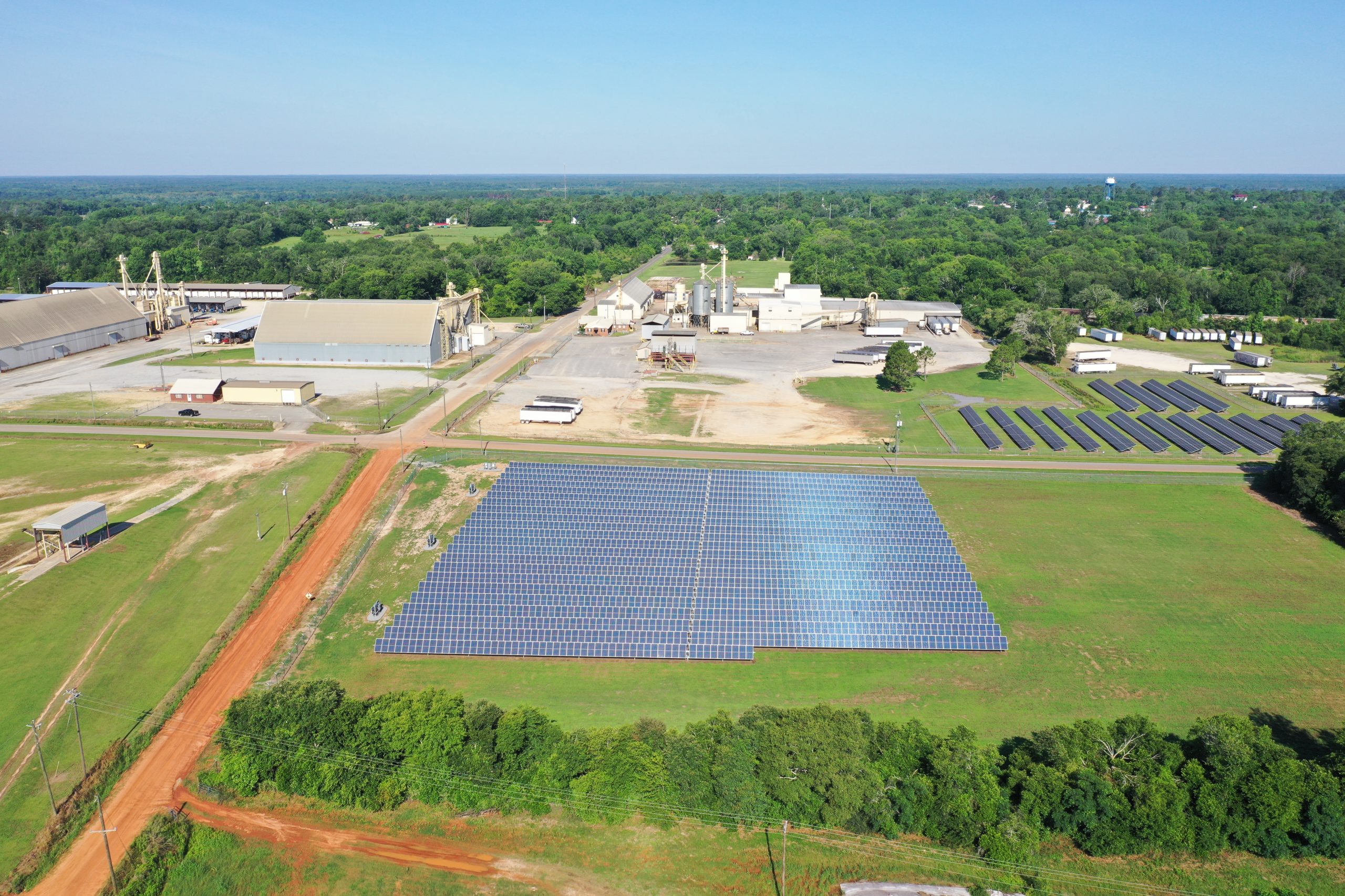
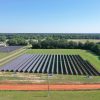
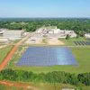

Sky Launch Drone Solutions LLC provides professional aerial RGB and radiometric thermal data collection for solar photovoltaic (PV) systems throughout Georgia, North Florida, Eastern Alabama, and surrounding areas.
Using the DJI Matrice 4T, we capture high-resolution visual imagery and fully radiometric thermal data to support the identification and documentation of potential PV module and system anomalies. Missions are systematically planned to provide consistent, georeferenced inspection imagery suitable for further analysis and reporting.
Services are available for utility-scale, commercial, industrial, and other ground-mounted or rooftop PV systems. Deliverables can be tailored to the project and may include RGB imagery, radiometric thermal imagery, organized inspection datasets, and processed inspection reporting.
Professional analysis and reporting can also be provided using Scopito's solar inspection platform, including image processing and anomaly documentation when requested.
Every project is evaluated individually based on system size, site configuration, location, airspace, required deliverables, and reporting requirements. Contact Sky Launch Drone Solutions for a customized quote for your solar facility.
Sky Launch Drone Solutions LLC is a veteran-owned commercial UAS company serving clients throughout the Southeast and is available to travel for projects outside our standard service area.
Location
Fequently asked questions
What is included in a solar PV thermal inspection?
Sky Launch Drone Solutions collects high-resolution RGB and fully radiometric thermal aerial imagery of the solar PV system. Standard and Premium packages also include Scopito Full Service professional analysis, anomaly identification and annotation, and a professional inspection report.
What is the difference between the Basic, Standard, and Premium packages?
Basic covers systems up to 1 MW and provides RGB and fully radiometric thermal aerial data collection only. Standard covers systems up to 5 MW and includes Scopito Full Service professional analysis, annotation, and reporting. Premium provides the same full-service inspection and reporting for larger solar PV systems up to 10 MW.
What does fully radiometric thermal imagery mean?
Fully radiometric thermal imagery records temperature data within each thermal image, allowing qualified analysis of temperature differences and thermal patterns across the solar PV system. This data can be used to identify and document potential thermal anomalies for further evaluation.
Are specific weather conditions required for a thermal solar inspection?
Yes. Solar PV thermal inspections require suitable environmental conditions to produce useful thermal data. Inspections are scheduled when solar irradiance, cloud cover, wind, and other conditions are appropriate. If conditions are unsuitable on the scheduled date, the inspection may need to be rescheduled to ensure data quality.
Can you inspect solar PV systems larger than 10 MW?
Yes. Systems larger than 10 MW can be accommodated through a custom quote. Pricing will depend on system capacity, site layout, location, flight requirements, data-processing needs, and the requested deliverables. Contact Sky Launch Drone Solutions for pricing on larger utility-scale solar facilities.