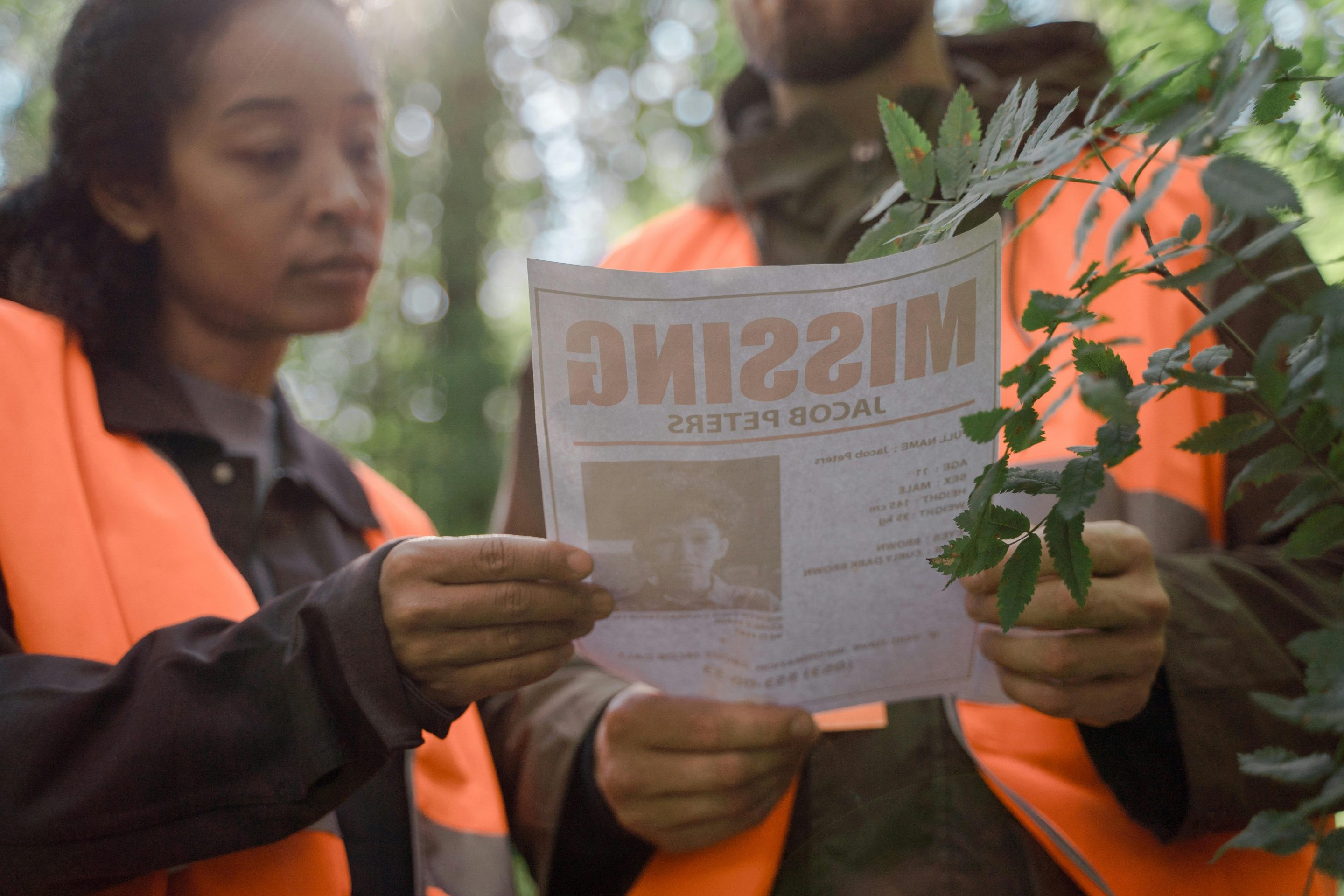
At Prynce of the Sky Aerial Imagery, we proudly support emergency responders and law enforcement agencies across Iowa through rapid-response search and rescue drone services. Equipped with thermal imaging, GPS mapping, and real-time transmission technology, our drones assist in locating missing persons, stranded hikers, or lost pets with unmatched speed and efficiency.
Aerial drones can quickly scan large or difficult terrain, such as forests, rivers, or disaster zones, providing live data to ground teams for faster, safer operations. Our trained pilots work closely with rescue teams to deploy aerial support within minutes, offering critical visibility when every second counts.
We also assist with post-disaster assessments, providing aerial overviews of damaged infrastructure and affected zones to help prioritize emergency response efforts. In Iowa’s diverse environments—from rural farmlands to urban centers—Prynce of the Sky Aerial Imagery delivers dependable aerial assistance that saves time, enhances safety, and supports community resilience.

