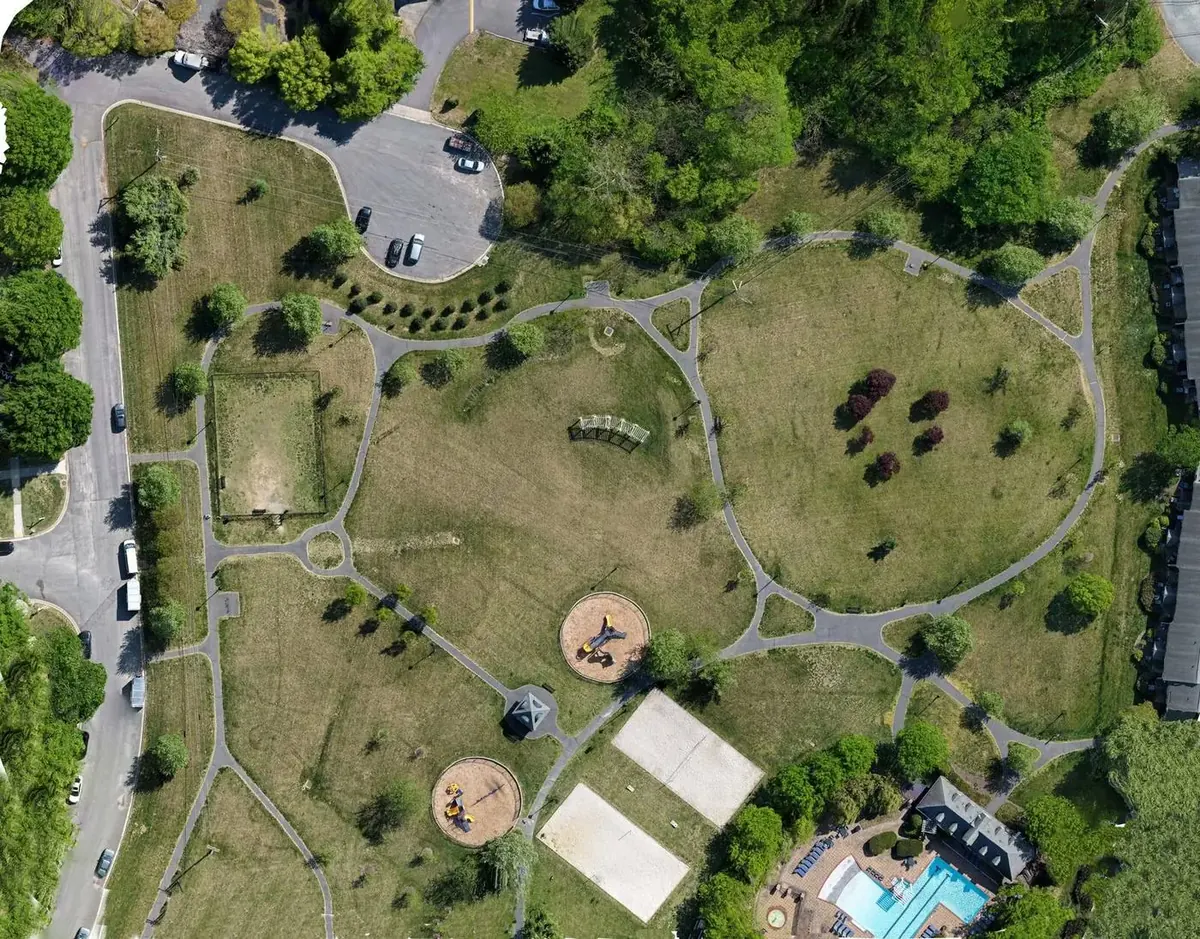
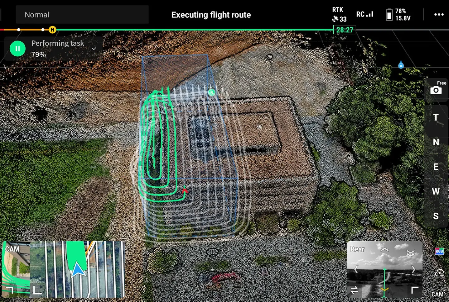
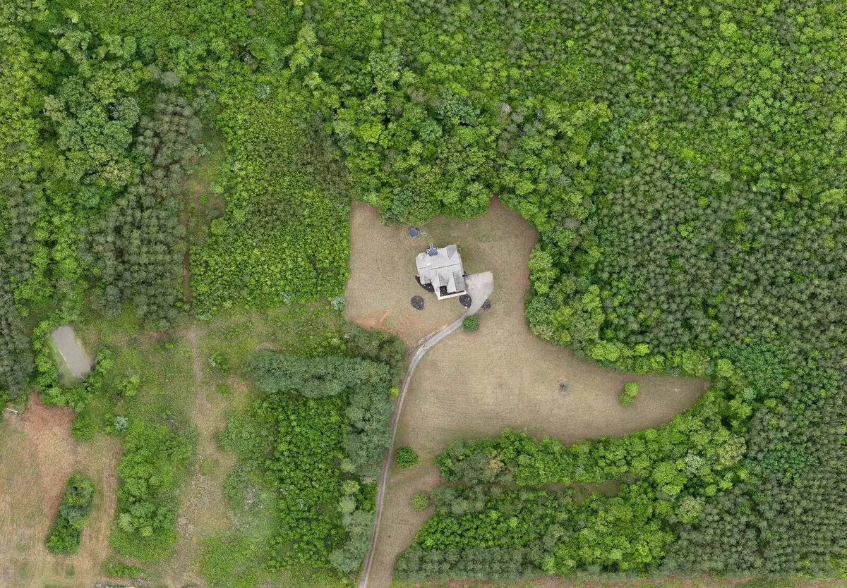
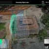
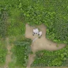


Centimeter-level, survey-grade aerial mapping with integrated RTK on the DJI Matrice 4T.
Veteran-owned, FAA Part 107 certified, OSHA 30-Hour trained and fully insured. Based in Richmond, Virginia.
- Products: orthomosaics, topographic mapping and recurring construction progress captures.
- Recurring visits: weekly or monthly, with folder naming to your team's standard.
- Job sites: OSHA 30-Hour trained for active construction sites.
This is not a legal boundary survey. For legally recorded work, I team with a licensed Virginia surveyor.
No travel charge within 30 miles of Richmond. Anything farther is quoted up front.
Location
Fequently asked questions
Is this a legal survey?
No. For legally recorded work, I team with a licensed Virginia surveyor.
Do you do recurring visits?
Yes. Weekly or monthly schedules, with folder naming to your team's standard.