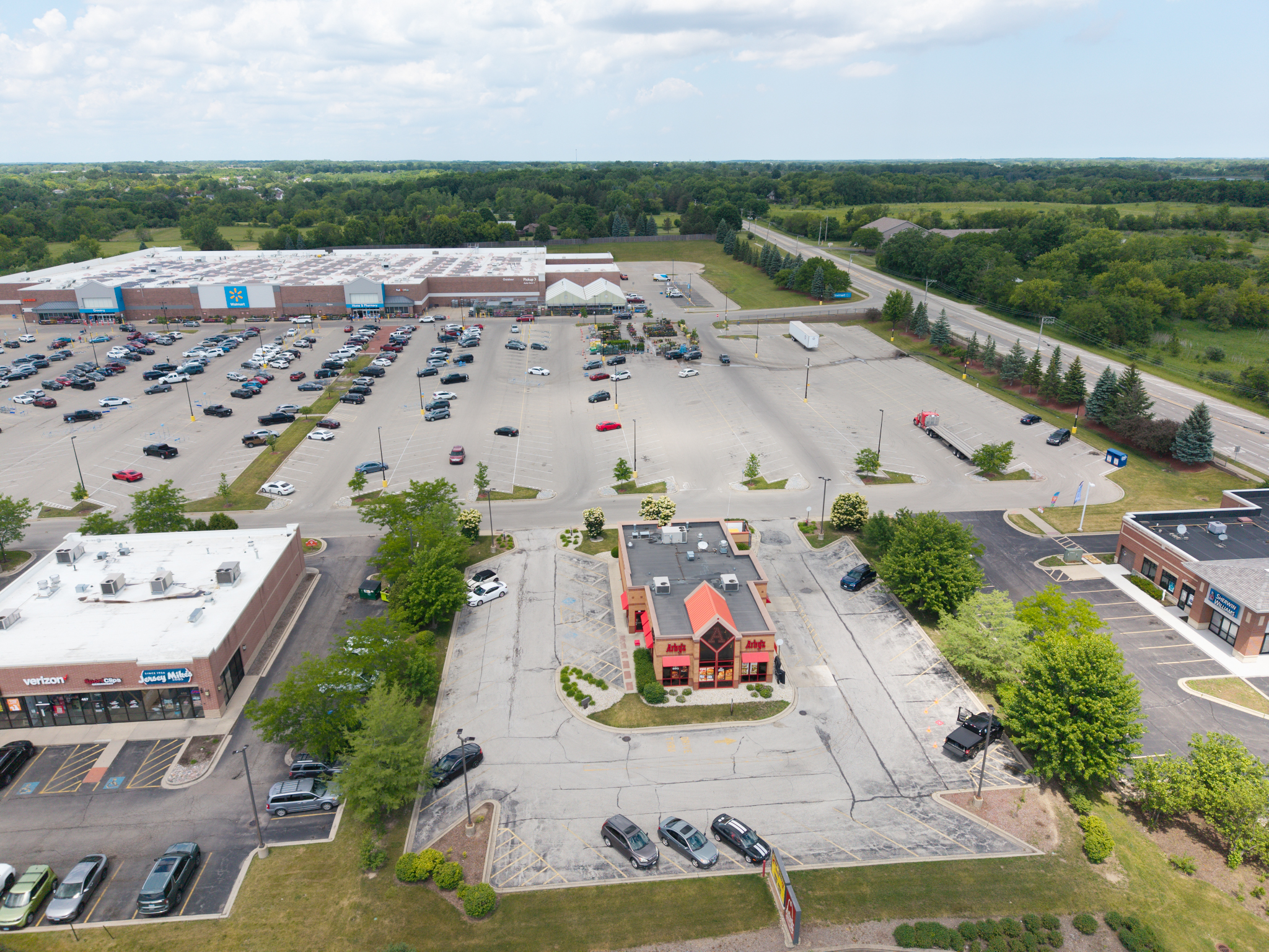

High-definition aerial photography, 4K videography, and remote site inspection services designed for real estate listings, commercial property managers, and out-of-state land buyers.
Capabilities & Services Offered:
-
High-resolution aerial photos and 4K video tours highlighting property lines, access routes, and surrounding terrain.
-
Remote neighborhood and site inspection reports tailored for out-of-state buyers and developers.
-
Commercial property visual documentation for facility managers and real estate agents.
-
Deployment of the DJI Air 3S platform for enhanced flight stability, wind resistance, and image clarity.
Location
Fequently asked questions
Can aerial footage help out-of-state buyers evaluate land before purchasing?
Yes, detailed aerial video inspections capture access roads, surrounding properties, and terrain conditions so buyers can make remote purchasing decisions confidently.
What drone equipment is used for real estate and land inspections?
Primary flights are conducted using the DJI Air 3S fleet, offering improved flight stability and high-resolution 4K video.