
-

3D Capture
-

3D Modeling
-

3D Models
-

3D Tour
-
Aerial Mapping Photogrammetry & Inspections
-
Aerial Photography and Videography
-
Aerial Photos and Videos
-
Aerial Surveys
-

Aerial Videos
-
Commercial & Residential Aerial Marketing
-
Drone Aerial Videos
-

Construction Site Monitoring
-

Photography
-

Aerial Photography
-

3D Virtual Tours
-

Surveys & Inspections
-
Aerial Mapping
-
Construction Site Monitring
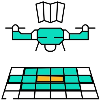
Survey-grade aerial mapping, 3D site modeling, and precision GIS area takeoffs for landscape, earthwork, and civil site contractors. Produces current orthomosaics at roughly one inch per pixel to calculate accurate square footage for pavers, sod, and site materials.
Key Details & Capabilities:
-
Network RTK Accuracy: Captures current site conditions at ~1 inch/pixel resolution, vastly outperforming outdated satellite imagery.
-
Contractor Area Takeoffs: Traces site polygons in GIS to generate KML/DXF files for estimators, square-footage CSV summaries, and bid-ready PDFs.
-
3D & Volumetric Modeling: Deliverables include elevation models, interactive 3D site meshes, and stockpile volume measurements.
-
Surveyor Collaboration: Designed for planning, documentation, and measurement, collaborating directly alongside licensed land surveyors when required.
Location
Fequently asked questions
Why are drone area takeoffs superior to satellite-based bid measurements?
Satellite tiles often depict site conditions that are years out of date. Drone takeoffs capture the exact, current site state within a single morning at roughly 1 inch per pixel.
Is special GIS software required to open the mapping deliverables?
No, all maps and models are delivered as browser-accessible web links alongside standard GIS/CAD files.