
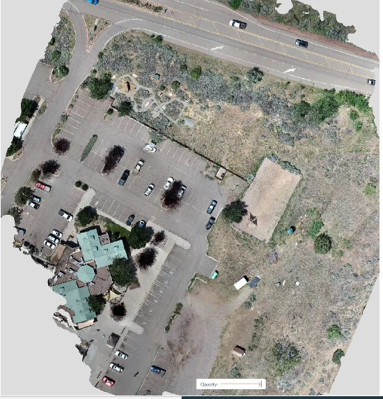

At Aerial inSight LLC in New Mexico, our Orthophoto Mapping services deliver accurate, true-to-scale aerial imagery ideal for analysis, documentation, and project planning. Orthophotos combine the visual clarity of photography with the precision of mapping—each pixel represents a real-world measurement.
These georeferenced images correct for lens distortion and perspective, providing a uniform, overhead view that’s perfect for urban planning, land surveying, environmental monitoring, and infrastructure management.
Our team uses professional-grade drones and photogrammetry software to ensure accuracy and consistency, enabling you to overlay orthophotos with CAD or GIS data for advanced analysis.
With Aerial inSight LLC, you gain a powerful mapping asset that supports data-driven decisions, improves collaboration, and streamlines project documentation.
💲 contact Aerial inSight LLC in New Mexico today for a personalized quote.