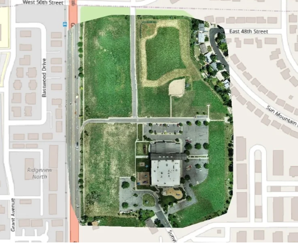
At Aerial inSight LLC in New Mexico, we create high-precision orthomosaics that deliver accurate, true-to-scale aerial imagery for a wide range of professional applications. Orthomosaic maps are generated by stitching together hundreds of high-resolution drone photos, corrected for perspective and distortion, resulting in a detailed, georeferenced representation of your site.
These maps are invaluable tools for urban planning, land surveying, agriculture, environmental monitoring, and infrastructure inspection. They allow users to measure distances, calculate areas, and analyze features directly from the imagery with exceptional accuracy. Whether you’re tracking construction progress, planning a new development, or monitoring land conditions, orthomosaics provide reliable insights that support confident decision-making.
By combining advanced photogrammetry and GIS techniques, our team ensures precision in every pixel. You can visualize site changes over time, document compliance, and share data easily among stakeholders for improved coordination.
With Aerial inSight LLC, you get more than a map—you get a strategic visualization tool that helps you manage projects efficiently and effectively.
💲 contact Aerial inSight LLC in New Mexico today to request your personalized quote