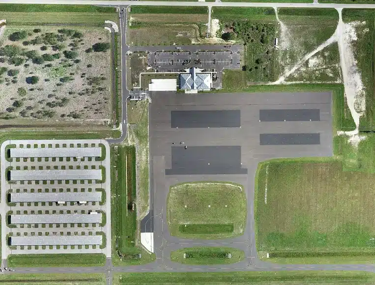
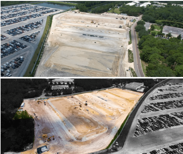
An orthomosaic map is a single, geometrically corrected image created through the combination of many photos.
Orthomosaic mapping technology uses the drone's GPS location to capture geo-referenced imagery.
Software then merges, or stitches, together hundreds or thousands of high-resolution images to create a precise orthomosic map.
Contact me for a free consultation and quote.