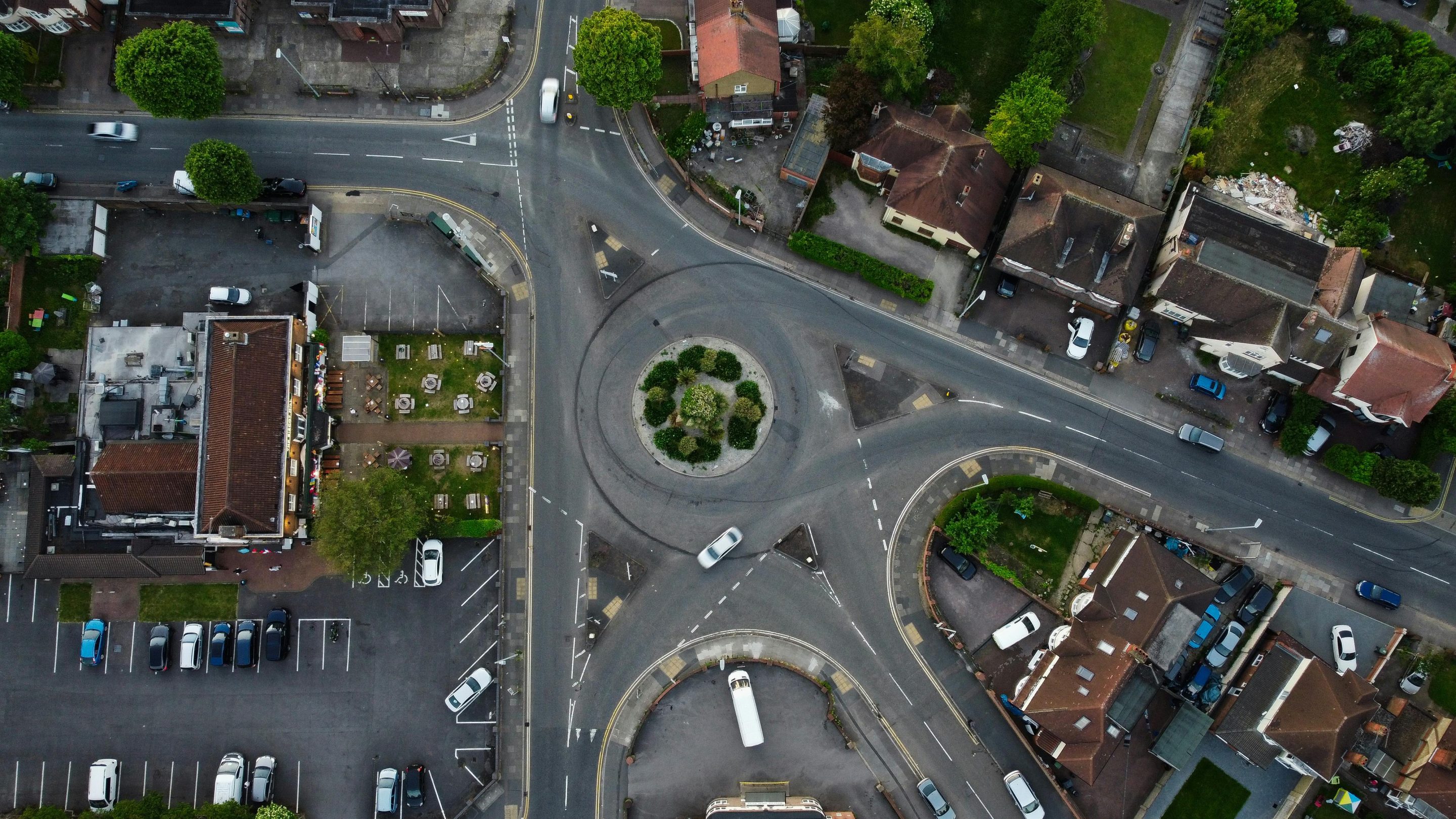
When accuracy matters, orthomosaic mapping is the solution. At High Angle Imagery in Minnesota, we specialize in creating high-resolution, georeferenced maps by stitching together aerial photographs with precision and detail. These maps provide a true-to-scale top-down view of your land, making them invaluable for industries like construction, land development, agriculture, and environmental monitoring.
Orthomosaic mapping delivers more than just images — it provides actionable data. Clients can measure distances, calculate surface areas, monitor changes over time, and evaluate terrain with confidence. Developers gain accurate progress tracking on construction projects, farmers can assess crop health across entire fields, and environmental professionals can monitor land conditions effectively.
Our advanced photogrammetry techniques ensure that every map is produced with exceptional accuracy and clarity. Compared to traditional surveying, drone mapping is faster, safer, and more efficient, while still offering the level of precision you need for critical decision-making.
Whether you’re managing a single property or overseeing a large-scale project, our orthomosaic mapping services give you the insights required to plan, analyze, and execute with confidence.
👉 Contact High Angle Imagery in Minnesota today to schedule your orthomosaic mapping service and request a personalized quote.