
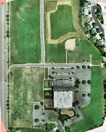

At Aerial inSight LLC in New Mexico, we deliver precision mapping and photogrammetry services designed to capture accurate, data-rich aerial visuals for a wide range of industries. Using advanced drones and photogrammetry software, we produce georeferenced maps and 3D models that reveal topography, surface detail, and spatial relationships with exceptional accuracy.
These high-resolution maps empower engineers, surveyors, environmental consultants, and infrastructure planners to assess site conditions, calculate measurements, and analyze terrain before beginning any project. From identifying elevation changes and drainage patterns to planning roadways or utility layouts, our aerial data ensures a deeper understanding of each site’s unique characteristics.
Photogrammetry is ideal for construction planning, land development, resource management, and environmental monitoring, where precision and reliability are critical. Every project is carefully planned, flown, and processed using professional-grade tools to ensure the highest level of detail and accuracy.
With Aerial inSight LLC’s Mapping and Photogrammetry services, you gain a powerful decision-making resource that streamlines workflows, reduces field time, and enhances project outcomes. Whether you need accurate site mapping or topographic modeling, we provide the insights you need to plan with confidence.
💲 contact Aerial inSight LLC in New Mexico today for a personalized quote.