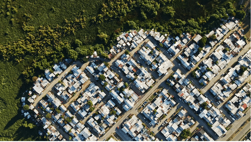
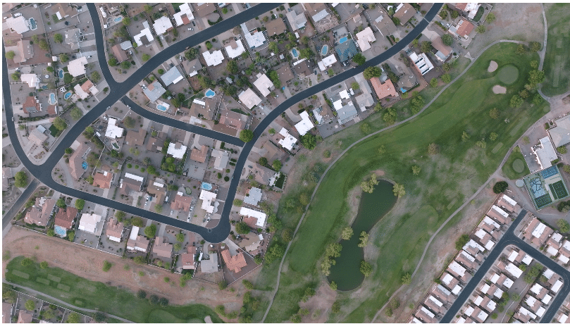
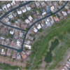
Mapping photography uses aerial imagery and geographic data to create detailed visuals of landscapes and urban areas. It captures high-resolution images for applications in GIS, such as urban planning and environmental monitoring. This technique helps visualize spatial relationships, aiding decision-making and resource management. By combining photography with mapping technology, it offers a comprehensive view of geographic contexts. Overall, it enhances understanding of complex environments.
