
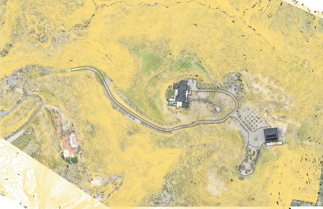


High-precision aerial mapping leveraging advanced LiDAR sensors and photogrammetry techniques to deliver geo-referenced orthomosaics, 3D point clouds, and sub-centimeter accuracy topographic models in Santa Rosa, California.
Capabilities & Services Offered:
-
LiDAR Sensor Data Collection: High-density spatial point cloud generation capable of penetrating dense canopy coverage for accurate ground elevation mapping.
-
Geo-Referenced 2D Orthomosaics: High-resolution stitched spatial maps for civil engineering, urban planning, and forestry management.
-
GIS & Survey Data Exports: Delivering geospatial data outputs ready for import into standard GIS, CAD, and land surveying software suites.
Location
Fequently asked questions
What is the benefit of LiDAR mapping over traditional ground surveys?
Drone LiDAR captures detailed topographic surface data and 3D point clouds over large or complex terrain in a fraction of the time required by traditional ground survey crews.