Land Survey by Mountain Hare Drones
-
0 sales
- 19 views
- 3 Hours Response time
- $0.00 No travel charge
- Save
0 /5.0
User review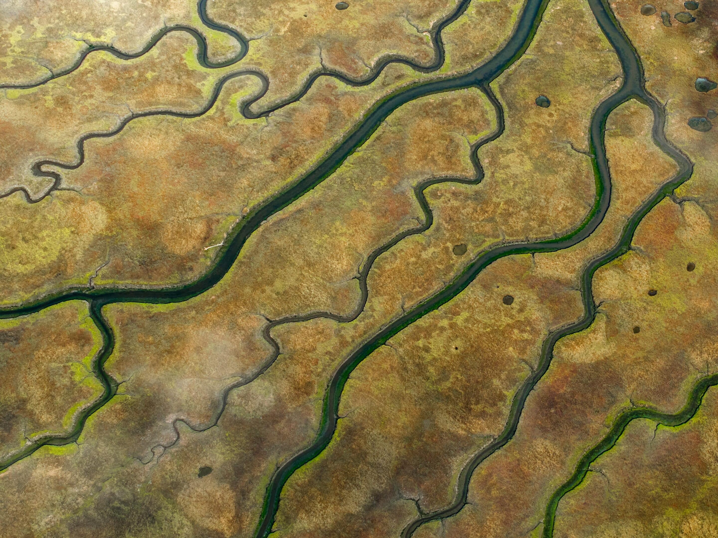
Mountain Hare Drones delivers high-resolution aerial imagery and mapping for land development,
topography, and planning projects. Perfect for construction, agriculture, and environmental monitoring.
Reach out today to elevate your land survey process.
Travel upto 50 miles