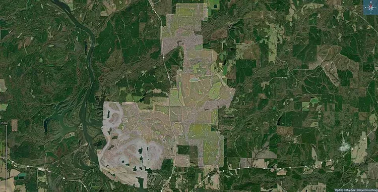
Southern Terrestrial Imaging in Coffeyville, Kansas, delivers professional land mapping solutions using high-resolution drone imaging and advanced processing software to provide accurate, measurable, and detailed representations of land surfaces. This service supports agricultural projects, property development, environmental studies, infrastructure planning, wildlife management, forestry operations, and land acquisition analysis. By capturing precise overhead views, we generate orthomosaic maps, vegetation health overlays, elevation profiles, and digital surface or terrain models that offer deep insight into land characteristics and usability.
Drone-based mapping eliminates many challenges associated with manual surveying, especially on large, rugged, or inaccessible properties. It helps landowners and decision makers identify potential grading concerns, erosion patterns, watershed flow, soil variability, crop health trends, vegetation density, and natural resource distribution. The resulting maps can be measured, zoomed, layered, and digitally reviewed, making them useful for feasibility studies, long-term land planning, and environmental compliance documentation.
Whether preparing a land parcel for sale, new construction, agricultural optimization, habitat evaluation, or infrastructure routing, land mapping provides data-driven clarity that supports informed investment and strategic planning without unnecessary ground disruption.