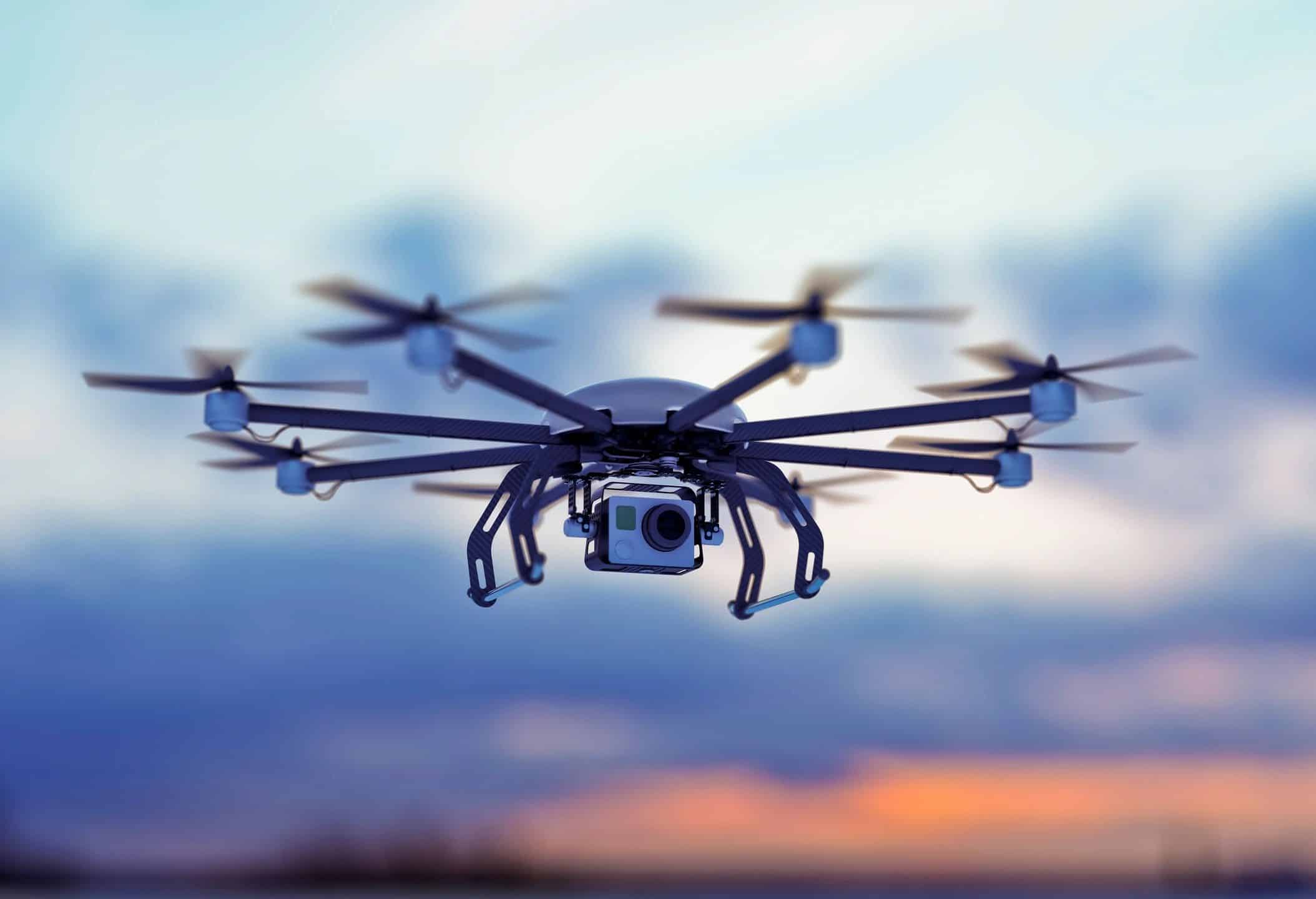
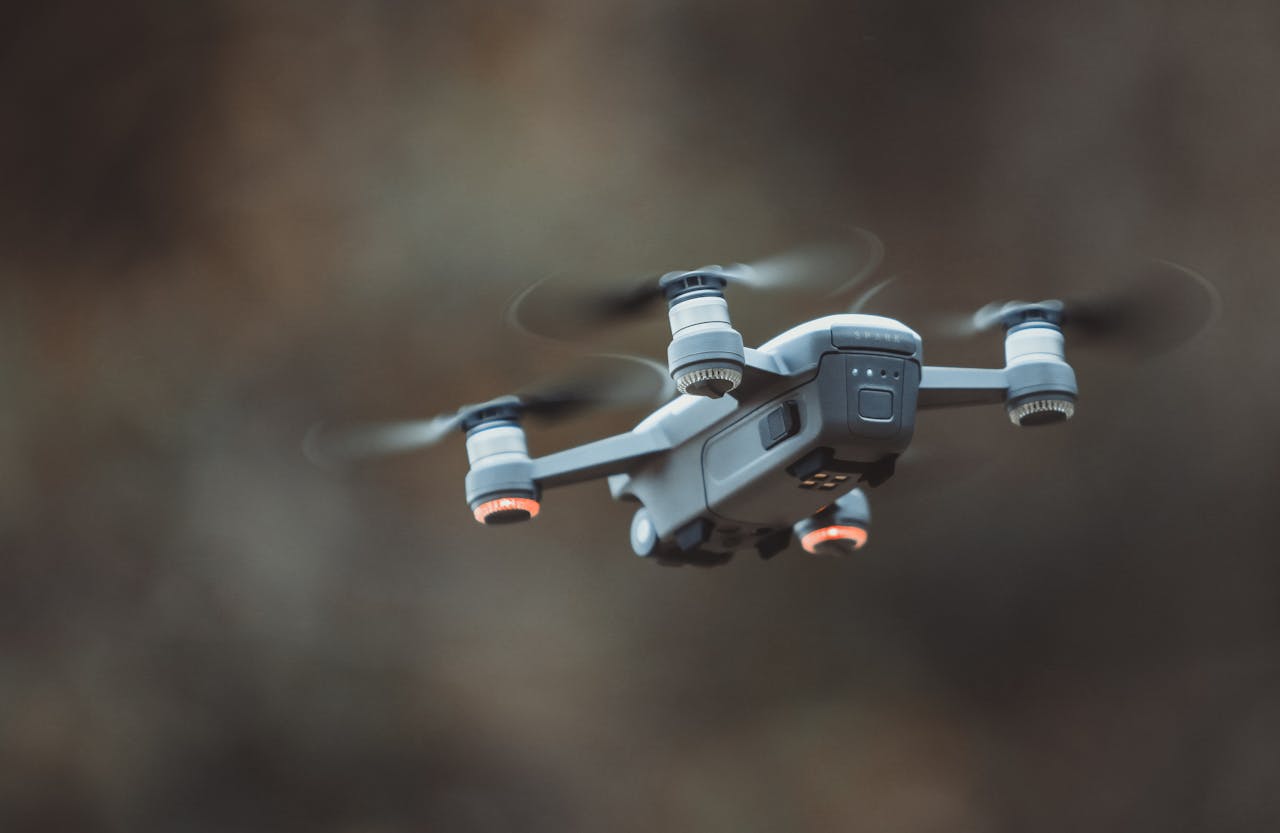

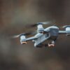
We provide high-resolution aerial photography and videography for documenting site progress. Our drone technology captures stunning visuals, including 360 panoramic tours, which are ideal for showcasing ongoing projects and ensuring all stakeholders are up to date with the progress.
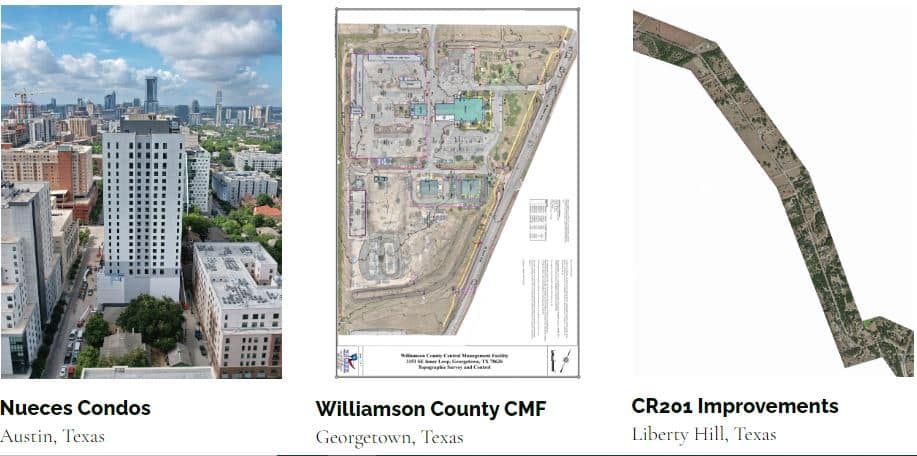
Category: #Orthomosaic-Mapping & #Site-Mapping