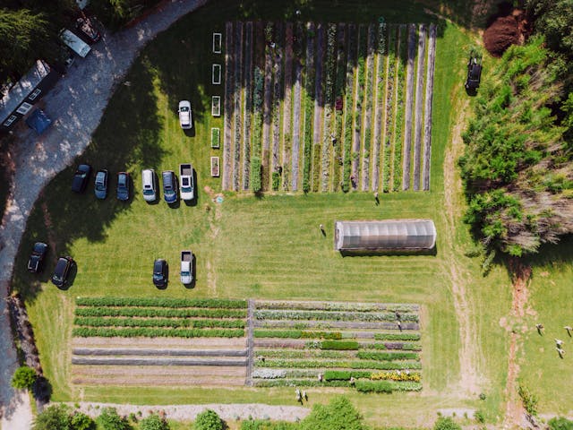
Our drone photogrammetry services provide high-resolution aerial imagery and precise mapping solutions. Using advanced drone technology, we capture detailed aerial photographs and process them into accurate 2D and 3D maps, perfect for land surveying, construction, and agriculture. Our photogrammetry solutions help businesses analyze terrain, plan projects, and monitor progress with exceptional accuracy.
📞 Contact us today for pricing and to discuss your project needs!