-
Aerial Mapping Photogrammetry & Inspections
-

Agriculture & Farming
-
Agricultural drone mapping
-
Construction Inspection Flights
-

Construction Mapping
-

Construction Monitoring
-
Construction Sites
-
Drone Imaging
-
Drone Inspection Services
-
Drone Inspections
-
Drone Mapping
-
Drone Mosquito Control
-
Forestry Drone Mapping
-

Construction Site Monitoring
-

Surveys & Inspections
-
Aerial Mapping
-
Construction Site Monitring
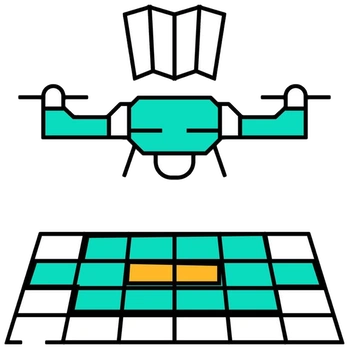
Streamline job-site management, verify earthwork milestones, and generate accurate spatial models with professional construction drone mapping in Morganton, North Carolina. NC Drones LLC provides aerial photogrammetry, 2D orthomosaic mapping, 3D terrain modeling, and periodic progress documentation for construction contractors, architecture firms, civil engineering teams, and agricultural land managers. Walking expansive, active build sites to assess status is inefficient and leaves gaps in documentation.
Our scheduled aerial mapping flyovers provide project managers with an objective overhead view of ongoing site operations. We process overlapping high-resolution aerial imagery to generate detailed orthomosaic maps, digital elevation models, 3D structural renderings, and volumetric earthwork reports. From earth-moving phases to structural completion, our construction documentation keeps project stakeholders informed, reduces downtime, and verifies compliance against original design blueprints.
Key Details & Capabilities:
-
Construction Drone Mapping in Morganton, NC: High-resolution 2D orthomosaics, 3D site modeling, and progress tracking.
-
AEC & Agricultural Spatial Support: Tailored photogrammetry solutions for Architecture, Engineering, Construction (AEC), and farm land management.
-
Volumetric Earthwork & Site Audits: Calculates stockpile volumes, tracks staging areas, and verifies site grading progress.
-
Interoperable CAD & GIS Deliverables: Data exports compatible with standard engineering, GIS, and architectural software platforms.
Location
Fequently asked questions
How often can construction progress flights be scheduled in Western NC?
Progress flyovers can be scheduled on a weekly, bi-weekly, monthly, or milestone-driven basis depending on project scope.
What deliverables do engineering and construction teams receive?
Deliverables include stitched 2D orthomosaic maps, 3D mesh models, digital elevation maps (DEMs), and high-res progress photo sets.
Does NC Drones LLC serve job sites outside of Morganton, NC?
Yes, we provide mapping and construction progress services across Western NC, Upstate SC, and East TN.