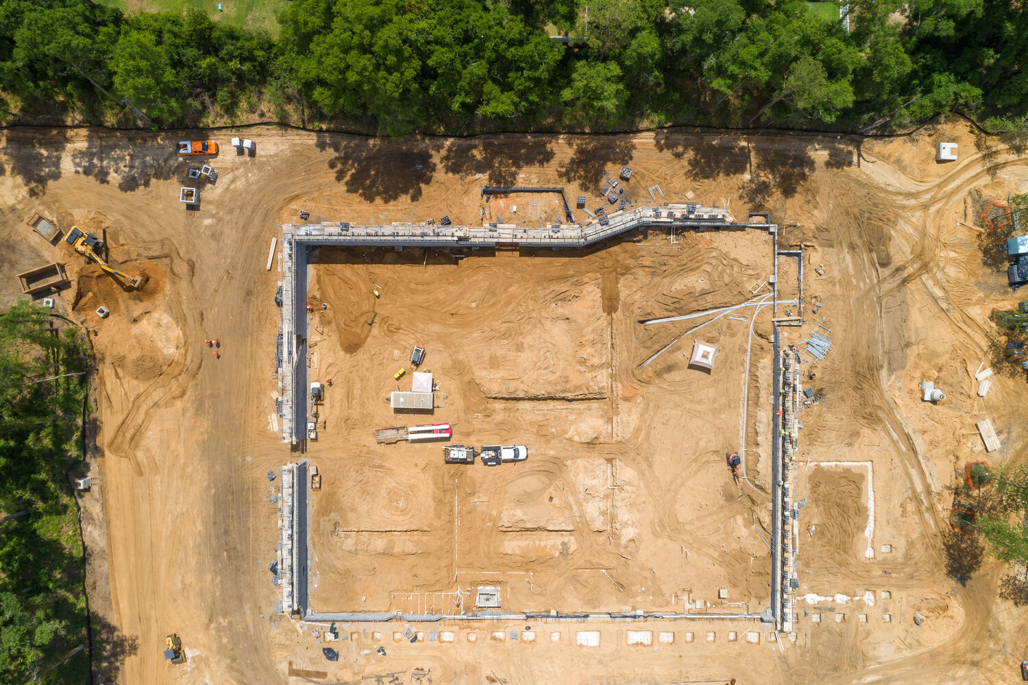

Enhance project efficiency, safety, and documentation with high-quality aerial imagery tailored for the construction industry.
📌 Services Include:
✅ Site Progress Monitoring – Track construction milestones with time-lapse aerial videos
✅ Topographic & GIS Mapping – Capture accurate land surveys and cut-and-fill calculations
✅ Safety Inspections – Identify hazards and improve job site safety measures
✅ 3D Modeling & Mapping – Generate high-resolution 3D models of your project
✅ Marketing & Promotion – Showcase projects with professional aerial footage
✅ Asset & Equipment Tracking – Monitor heavy machinery locations and utilization
🏢 Revolutionize construction management with our aerial insights!
📩 Contact us today for a consultation!