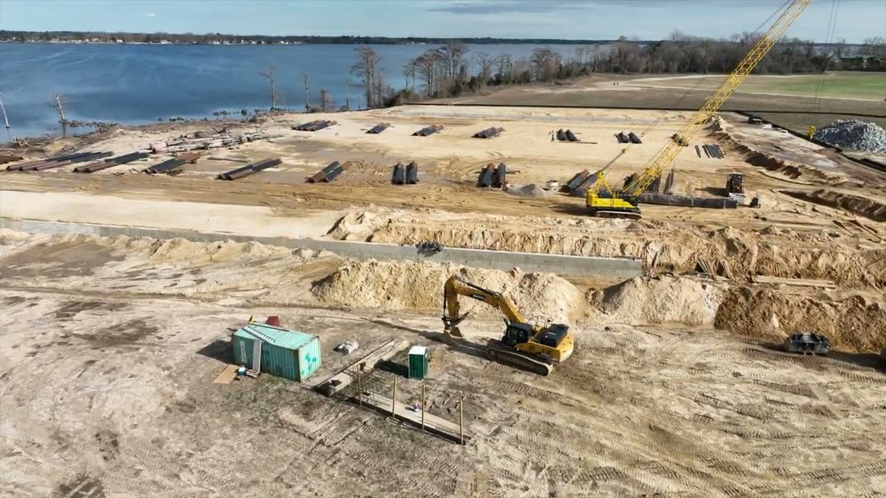


Aerial documentation and progress monitoring services provided by Aerial17 Commercial Drone Services for construction, site development, and utility repair projects.
Capabilities & Services Offered:
-
Aerial site imaging for active construction monitoring and progress tracking.
-
Visual documentation for utility repair operations and leased property sites.
-
Periodic aerial image capture to record ongoing site updates and development phases.
-
Aerial documentation for institutional builds, high schools, and commercial property developments.
-
Servicing Northeast North Carolina and Virginia.
Location
Fequently asked questions
What applications is construction monitoring used for?
It is used for tracking building construction progress, site updates, utility repair monitoring, and property development documentation.
Who utilizes these construction imaging services?
Services support project managers, property owners, contractors, and leasing entities.