
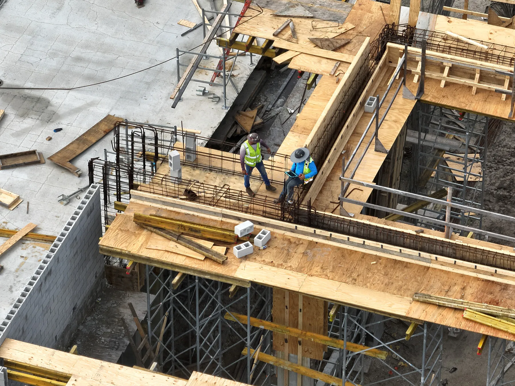


Data-first aerial mapping, orthomosaic photogrammetry, and repeatable construction progress photography tailored for general contractors, site managers, and municipal stakeholders across Boca Raton and South Florida. Provides complete site visibility to drive accountability and reduce operational risk from preconstruction through final closeout.
Key Details & Capabilities:
-
Photogrammetry & Orthomosaics: High-density overhead orthomosaic map generation providing measurable site data.
-
Repeatable Progress Tracking: Automated flight paths capturing consistent GPS coordinates over time for chronological stakeholder updates.
-
Print & Stakeholder Deliverables: Large-format print-ready imagery and web-accessible site overviews.
-
Pilot Credentials: Executed by an FAA Part 107 certified remote pilot with over 1,700 commercial flights completed and $1M liability coverage.
Location
Fequently asked questions
What mapping deliverables are provided for construction sites?
Deliverables include high-resolution orthomosaic maps, photogrammetry site scans, repeatable progress photos, and large-format print imagery.
Is West Boca Aerial Photography fully insured for enterprise jobs?
Yes, operations carry $1,000,000 in commercial liability coverage and feature a 5.0 verified Droners rating.