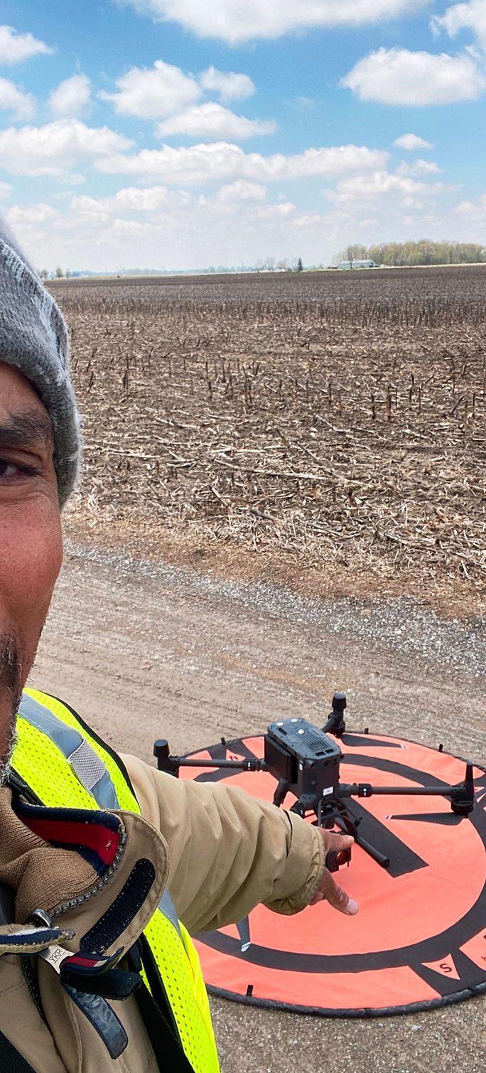


Periodic aerial survey packages and digital site modeling provided by Tuskegee Drone Pilots to give project managers, site owners, and investors complete visual and quantitative project updates.
Capabilities & Services Offered:
-
Scheduled progress flights (weekly, bi-weekly, or monthly cadence) delivering high-resolution orthomosaic mapping.
-
Advanced 2D/3D rendering, site volumetric calculations (cut/fill analysis), and stockpile measurements.
-
On-site safety inspections, quality of work tracking, and timeline verification over the lifespan of the project.
-
Post-construction quality audits and final digital site deliverable archives.
Location
Fequently asked questions
What delivery schedules are available for construction progress mapping?
Monitoring flights can be scheduled on a custom frequency that matches project needs—most clients opt for weekly, bi-weekly, or monthly flight updates.
What digital deliverables are generated for construction clients?
Deliverables include high-resolution orthomosaic maps, 2D/3D surface models, volumetric stockpile reports, and scheduled site progress documentation.