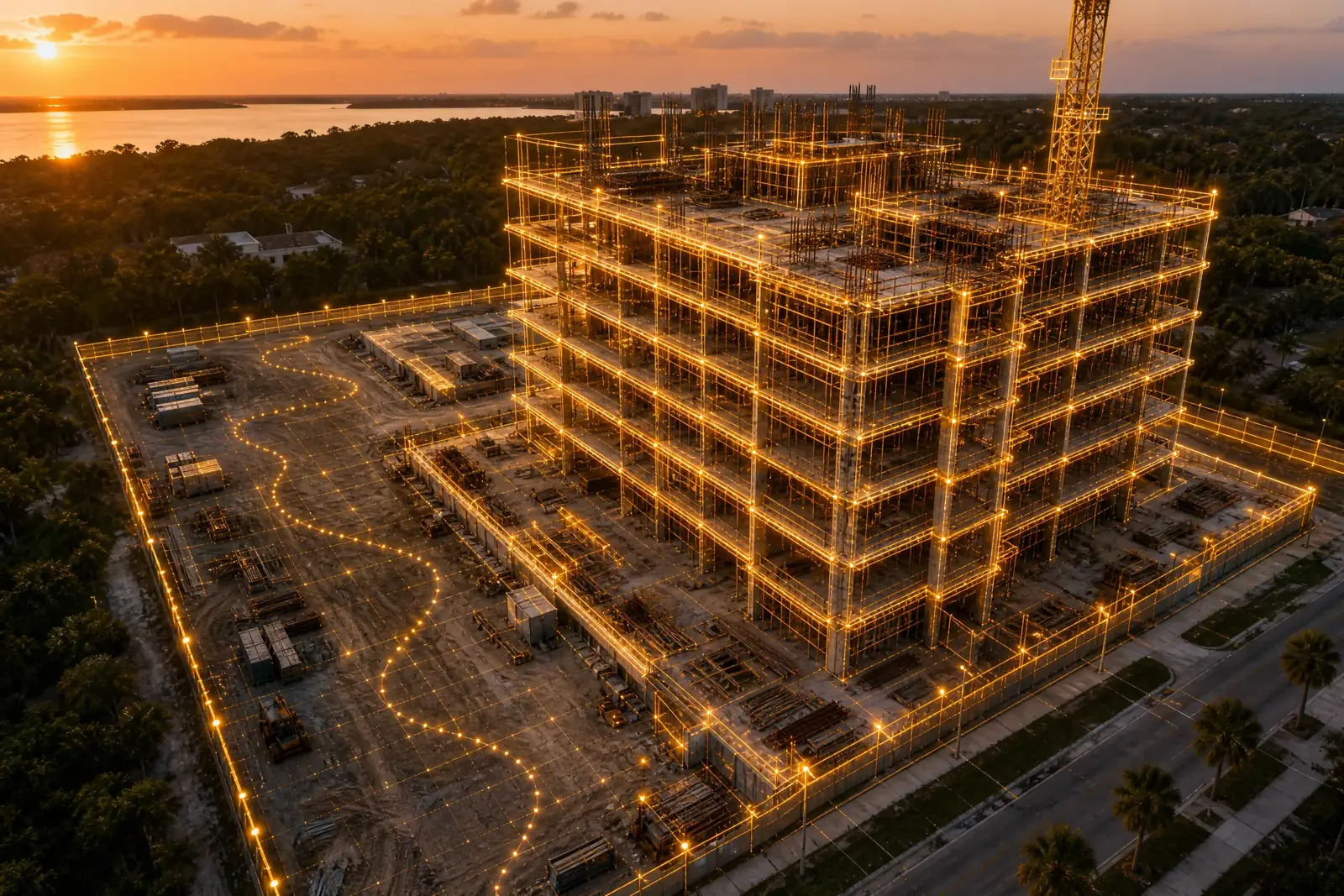




Scheduled weekly, bi-weekly, or monthly drone flights executed on identical automated flight paths to ensure exact chronological alignment across construction phases. Captures dated RTK orthomosaics, 8-vantage photo sets, and flyover video clips for site managers, owners, and lenders.
Key Details & Capabilities:
-
Identical Flight Alignment: Automated waypoint navigation producing perfectly aligned, side-by-side time-lapse maps.
-
Dated RTK Orthomosaics: High-density georeferenced maps delivered in GeoTIFF, PDF, DXF, or point-cloud LAS formats.
-
Stakeholder Reporting: Includes an edited photo set from eight consistent cardinal angles and a short flyover video clip for owner/lender updates.
-
Private Cloud Access: Delivered via secure, private web links accessible without special software, with 60-day initial retention included.
Location
Fequently asked questions
What file formats are delivered for construction progress mapping?
Standard deliverables include GeoTIFF and PDF maps, with DXF CAD files and LAS point clouds available upon request.
Are the remote pilots certified and safety qualified for active job sites?
Yes, operations are led by FAA Part 107 certified remote pilots who are OSHA 30 trained and experienced in site safety protocols.