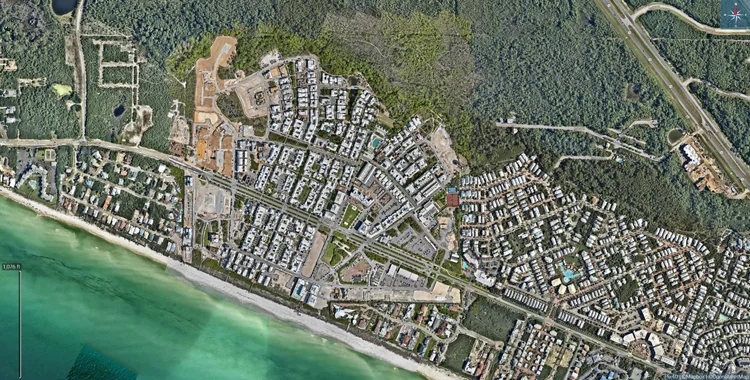
Southern Terrestrial Imaging in Coffeyville, Kansas, provides advanced construction mapping services using professional drone technology to capture detailed geospatial, visual, and topographical data for new development and ongoing construction projects. Traditional ground surveys are time-consuming, labor-intensive, and sometimes limited by physical access or safety constraints. Drone-based mapping solves these challenges by producing highly accurate aerial maps, orthomosaic imagery, and surface models that clearly display every phase of site progress, layout changes, infrastructure placement, terrain shaping, and material staging.
Contractors, architects, investors, and project managers gain continuous visibility without interrupting workflow. These maps can be used for planning, engineering review, bid discussions, compliance documentation, budgeting, safety assessment, and reporting to stakeholders who may not be physically present at the site. Progress mapping also helps verify contractor work, monitor schedule accuracy, detect errors early, and prevent costly rework. Additionally, digital mapping allows teams to measure distances, analyze land contours, and export data for integration with CAD and engineering platforms.
Whether for residential, commercial, industrial, municipal, or energy-sector development, construction mapping supports efficient coordination, improved communication, enhanced safety, and strong project accountability throughout the complete build cycle.