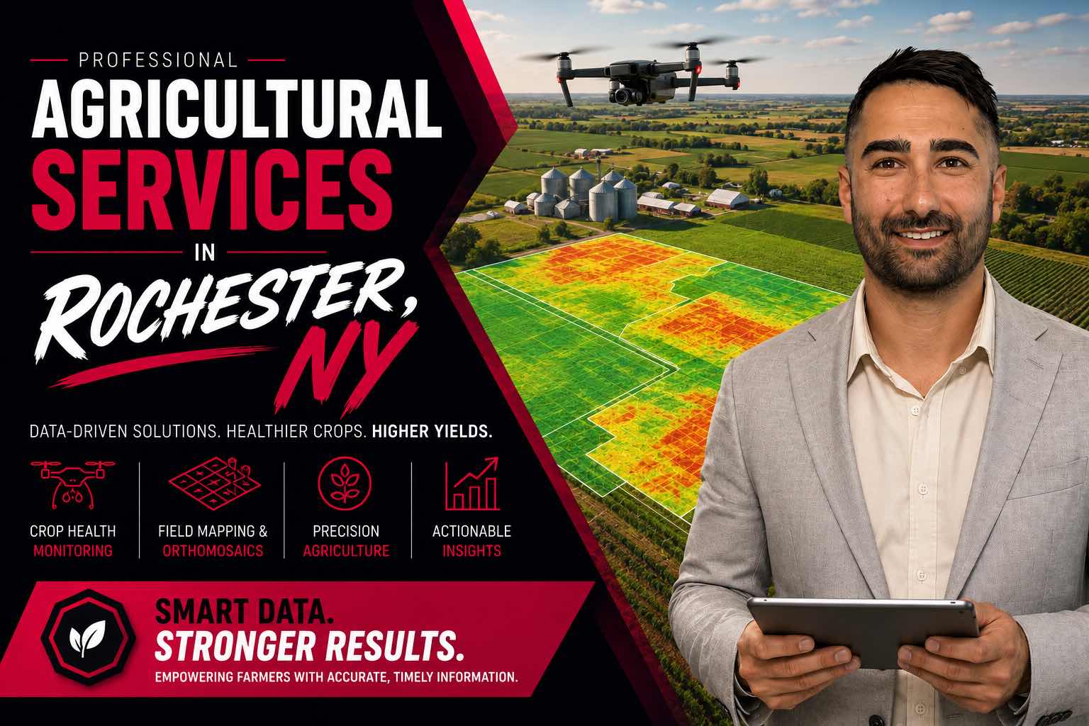

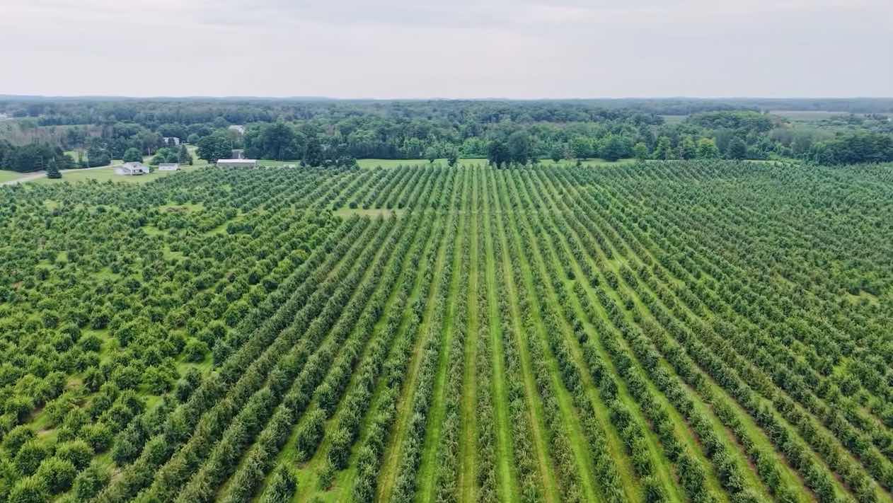
Get a clearer view of your fields with professional agricultural drone services in Rochester, NY. I provide aerial crop imaging, field mapping, crop health monitoring, and precision agriculture data capture to help farmers identify problem areas, monitor field conditions, and make better-informed decisions throughout the growing season.
Aerial imagery and analysis for farms, orchards, and vineyards across the region.
Mapping is georeferenced from onboard GNSS, not RTK or surveyed ground control. Absolute position is accurate to roughly 3-5 meters. These are imagery deliverables produced for documentation and marketing purposes. They are not a survey, are not a boundary determination, and are not a substitute for work performed by a New York licensed land surveyor or a licensed professional engineer. Where measurement accuracy matters, engage a licensed surveyor. Vegetation index maps are derived from RGB imagery and indicate relative visible greenness only; they are not NDVI and are not a substitute for agronomic scouting or soil testing.