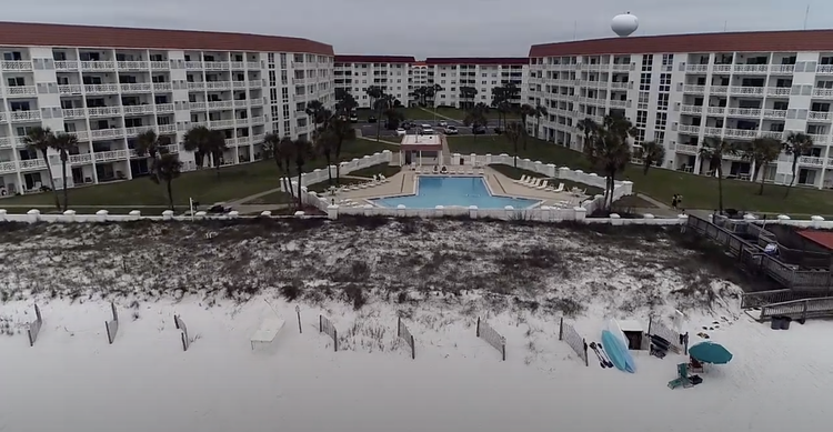

Southern Terrestrial Imaging in Coffeyville, Kansas, offers high-quality aerial photography services tailored for real estate, development planning, agriculture, tourism, land documentation, and commercial marketing needs. Using professional-grade drones, we capture sharp, well-composed images that provide wide-area visibility, detailed perspective, and elevated angles not possible with traditional ground photography. Aerial photos reveal property scale, layout, access points, surroundings, boundaries, vegetation coverage, natural features, and architectural form with exceptional clarity.
These images are ideal for property listings, investor presentations, brochures, construction reports, agricultural planning, inspection documentation, tourism promotion, and marketing campaigns. Aerial visuals enhance viewer engagement by delivering context and perspective, helping buyers, clients, or stakeholders understand value quickly and confidently. We offer multiple shooting angles including overhead (orthographic), oblique, panoramic, low-altitude, and close-range detail photography to match project goals.
Whether highlighting a home, a farm, commercial facilities, development land, recreational locations, or municipal areas, aerial photography provides professional visuals that elevate branding, improve communication, and enhance documentation quality across digital and print platforms.