Aerial Photography for Rural & Remote Areas by Cartographer
-
0 sales
- 26 views
- 3 Hours Response time
- $0.00 No travel charge
- Save
0 /5.0
User review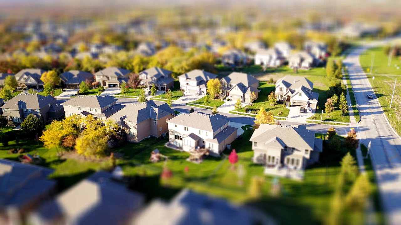

Standard maps often fall short when it comes to visualizing rural or undeveloped landscapes.
Cartographer fills this gap by providing high-resolution aerial photography, offering
a clear, detailed view of your land, property, or project site. Ideal for planning, surveying, or documentation.
Click on “Aerial Photo” to see how we can bring your map to life.
Travel upto 100 Miles
Mentioned rates per hour