
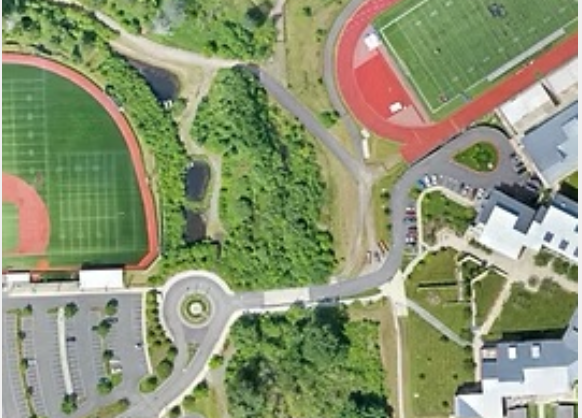

MorLo Aerial Imaging in Washington delivers Aerial Photogrammetry Mapping and Orthomosaics that combine precision data collection with stunning visual clarity. Our drones capture hundreds of overlapping images which are processed into accurate, georeferenced maps suitable for land surveying, construction planning, and environmental analysis.
Orthomosaics offer true-to-scale representations of your site, corrected for lens distortion and perspective, ensuring that every measurement is accurate. Photogrammetry maps reveal elevation changes, terrain features, and boundaries, providing a strong foundation for informed decision-making.
These deliverables integrate seamlessly with GIS and CAD systems, enabling engineers, surveyors, and developers to overlay data, analyze spatial relationships, and monitor site changes over time.
With MorLo Aerial Imaging, you gain reliable geospatial data that enhances project planning, reduces errors, and supports long-term growth.
💲 Pricing is custom—contact MorLo Aerial Imaging in Washington today for a personalized quote.