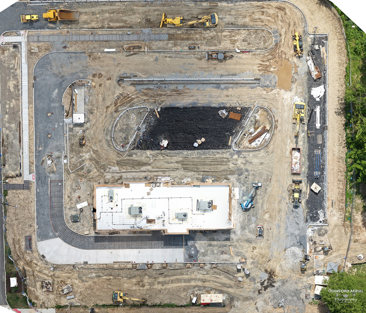




High-precision aerial mapping and photogrammetry services delivering high-resolution orthomosaic imagery for land development, infrastructure planning, and site assessment across Yardley, Pennsylvania
Capabilities & Services Offered:
-
High-Resolution Orthomosaics: Stitched high-detail orthomosaic maps providing top-down spatial measurements and site overviews.
-
Geospatial & Land Assessment Data: Precision aerial data supporting civil engineering, land surveys, and site design workflows.
-
Scalable Aerial Captures: Comprehensive mapping coverage for small development sites, corporate campuses, or broad acreage parcels.
Location
Fequently asked questions
What is an orthomosaic aerial map?
An orthomosaic map is created by stitching together overlapping drone photographs corrected for topographic relief, providing an accurate, high-resolution visual map with precise spatial perspective.