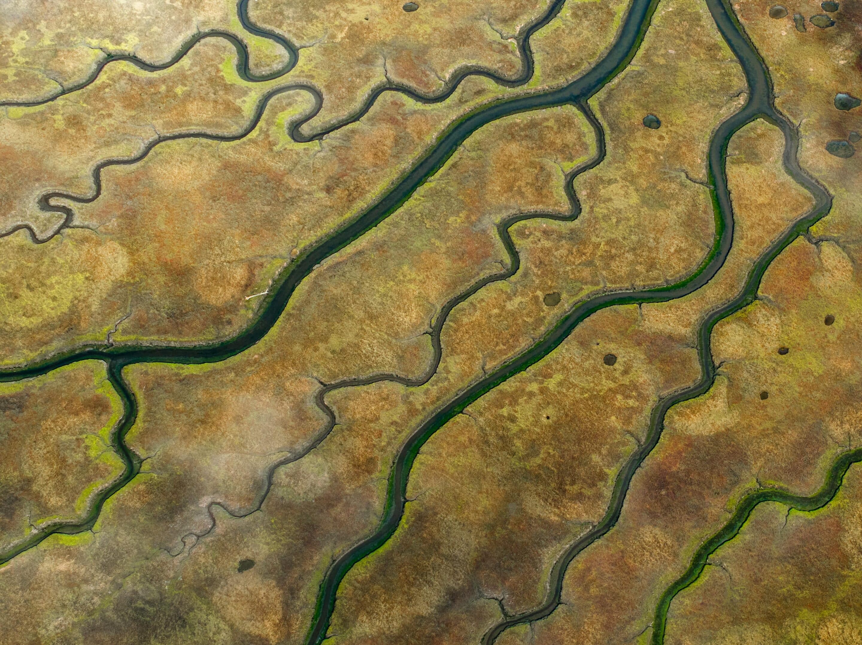
Having an accurate, up-to-date view of your land is critical for effective planning and management. At Heat Seekers OK, we specialize in creating custom aerial maps using our advanced DJI M30T drone. By capturing a series of overlapping high-resolution images and stitching them together, we produce seamless, detailed maps that showcase your property from above with unmatched clarity.
These aerial maps provide precise documentation of terrain, boundaries, vegetation, infrastructure, and other key features, giving you the insights needed to make better decisions. Whether you’re a landowner assessing acreage, a farmer planning crop rotations, a rancher managing grazing lands, or a developer preparing for construction, aerial mapping offers the reliable perspective you need.
Our maps are especially useful for resource management, planning presentations, environmental monitoring, and stakeholder communication, ensuring that you always have clear, visual documentation of your property. With accuracy down to fine details, you can evaluate land use, identify opportunities, and plan projects with confidence.
💲 Rates start at $3/acre.
👉 Contact Heat Seekers OK today to schedule your Aerial Mapping service and gain a professional bird’s-eye view of your propert