Experience precision and efficiency with Aerial Mapping Services by Drone Vistas LLC. Using advanced 6K-resolution drone cameras and photogrammetry techniques, we deliver highly accurate, site-specific maps and models—ideal for environmental studies, construction oversight, land development, and engineering projects.
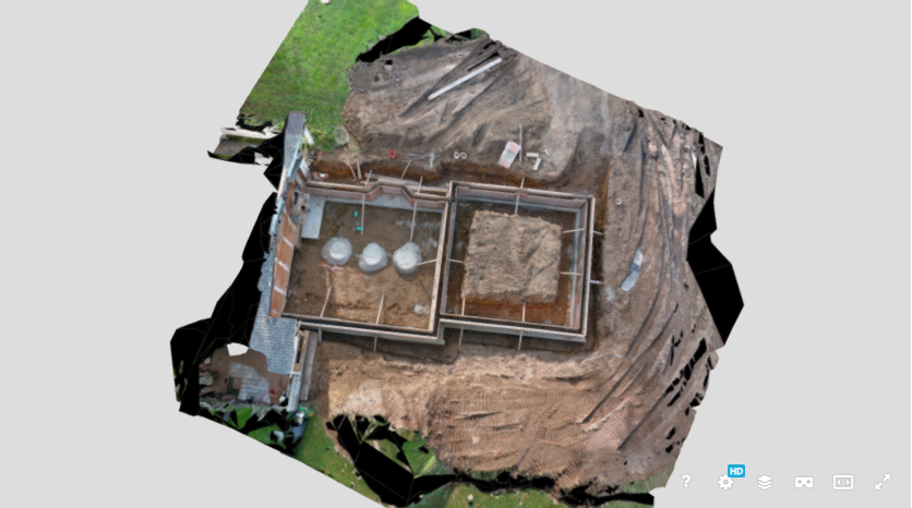
Our drones capture high-resolution georeferenced imagery in a fraction of the time compared to traditional survey methods. These aerial datasets are then processed into orthomosaics, digital elevation models (DEMs), high-density point clouds, and 3D textured models, offering centimeter-level accuracy. This detail empowers clients to analyze terrain, measure volumes, plan earthworks, and track project progress with confidence.
By utilizing 6K cameras and 1" CCD sensors, Drone Vistas achieves <1 cm ground sampling distance (GSD)—far exceeding standard municipal imagery (16–30 cm). This means every pixel represents real-world precision, revealing details critical for Phase I ESAs, site inspections, and mapping oversight.
All data products are customizable and deliverable in multiple formats, ready for integration into GIS or CAD systems. Whether you’re monitoring site changes, managing assets, or conducting feasibility studies, our aerial mapping solutions bring clarity, speed, and value to your workflow.
💲 Custom pricing available—contact Drone Vistas LLC in Connecticut today to schedule your Aerial Mapping project.