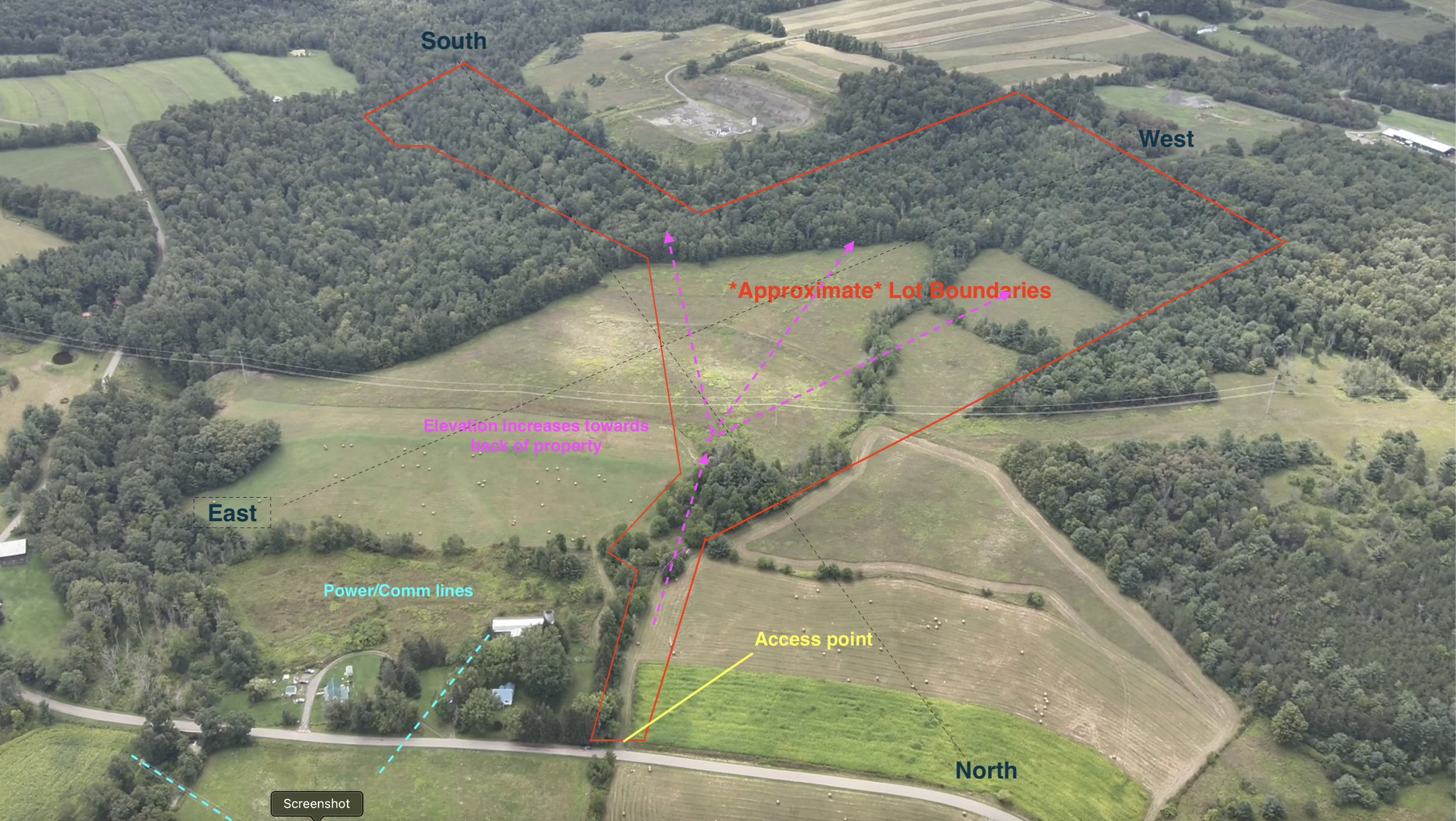


Streamline land development, site planning, and earthwork calculations with professional precision drone mapping in Parkesburg, Pennsylvania. Mid-Atlantic Drone Services LLC utilizes Real-Time Kinematics (RTK) positioning and high-resolution optical sensor payloads to generate sub-centimeter-level 2D orthomosaic basemaps, topographic site surveys, 3D surface models, and volumetric datasets. Manual ground surveying of undeveloped acreage or active construction sites is labor-intensive, time-consuming, and prone to site access hazards. Deploying precision mapping drones allows engineering and survey teams to gather accurate spatial intelligence rapidly.
Our mapping solutions support land development projects, utility location planning, boundary assessments, solar panel installation sites, and construction progress tracking. We integrate our aerial datasets with modern Geographic Information Systems (GIS) and standard CAD software, providing property developers, civil engineers, and municipal planners across Pennsylvania, Delaware, and Maryland with actionable, highly accurate spatial reports.
Key Details & Capabilities:
-
Precision Drone Mapping in Parkesburg, PA: RTK-driven sub-centimeter orthomosaic mapping, topographic surveys, and 3D terrain modeling.
-
Undeveloped Land & Boundary Analysis: Comprehensive aerial land survey reports highlighting topography, boundary context, and utility planning locations.
-
Volumetric & GIS Integration: Accurate earthwork volume calculations and seamless spatial data export into GIS and CAD engineering platforms.
-
Construction Progress Oversight: Scheduled mapping flyovers providing objective visual datasets for project managers and stakeholders.
Location
Fequently asked questions
What spatial accuracy is achieved with RTK precision drone mapping in Parkesburg, PA?
Using Real-Time Kinematics (RTK) technology, our mapping missions achieve sub-centimeter positional accuracy across 2D orthomosaics and 3D models.
What deliverables are provided after a drone mapping mission?
Clients receive high-resolution orthomosaic imagery, digital elevation models (DEMs), 3D point clouds, volumetric reports, and GIS-compatible survey files.