
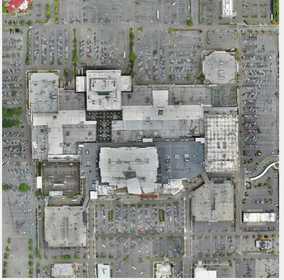
MorLo Aerial Imaging in Washington provides Aerial Assessments that deliver critical insights into properties, projects, and environments from a bird’s-eye view. Using advanced drone imaging and data analysis, we capture high-resolution visuals that help identify structural issues, environmental changes, and project progress with precision.
Aerial assessments are ideal for construction, agriculture, real estate, and infrastructure management, offering a fast, safe, and cost-effective way to gather data across large or complex areas. Our drones can access hard-to-reach zones, reducing manual inspection risks and minimizing downtime.
We provide detailed images, 2D maps, and 3D models that enhance visibility, support maintenance decisions, and streamline reporting. Whether you’re tracking development, inspecting assets, or evaluating land conditions, our assessments deliver clarity and confidence.
With MorLo Aerial Imaging, you get more than an overview—you get actionable intelligence that helps you plan, maintain, and manage effectively.
💲 Pricing is custom—contact MorLo Aerial Imaging in Washington today for a personalized quote.