Drone Job Categories
-

Adventure Tourism
-

Aerial Photography
-

Aerial Videography
-

Archaeological Surveys
-

Cinematography
-

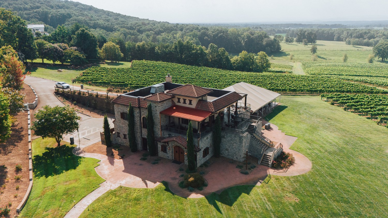
Commercial Real Estate
-

Concerts & Festivals
-

Construction Site Monitoring
-

Corporate Events
-

Cultural Festivals
-

Destination Marketing
-

Entertainment & Media
-

Events & Ceremonies
-

Historical Properties
-

Nature Trails & Hiking
-

Photography
-

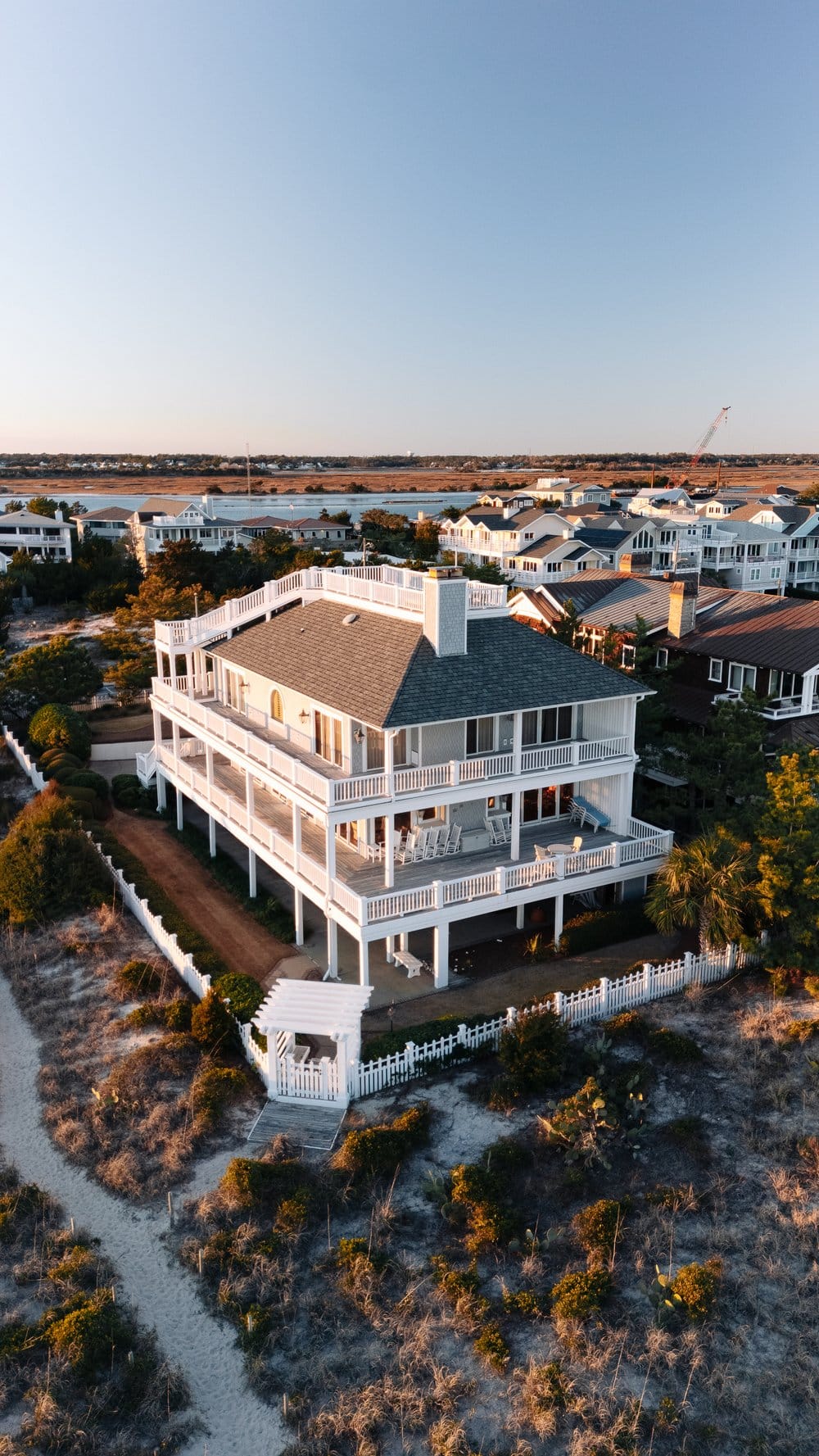
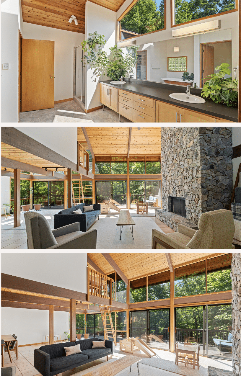
Real Estate Photography
-

Residential Real Estate
-

Resort & Hotel Promotion
-

Tourism & Travel
-

Vacant Land
-

Videography
-

Weddings
-

Wildlife Monitoring
-

Winter Sports
Services


0 /5.0
User review Starting from $410.00


0 /5.0
User review Starting from $225.00


0 /5.0
User review Starting from $425.00


0 /5.0
User review Starting from $35.00


0 /5.0
User review Starting from $215.00


0 /5.0
User review Starting from $285.00