Drone Job Categories
-

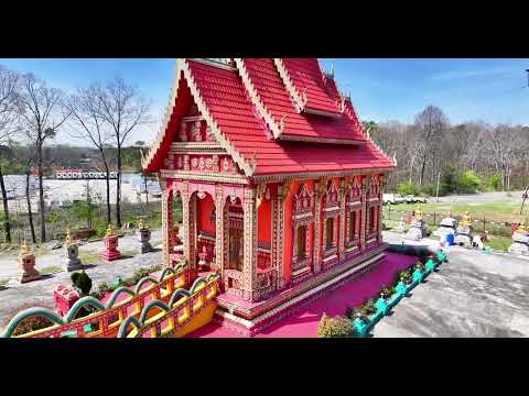
3D Virtual Tours
-

Accident Reconstructions
-

Aerial Inspections
-

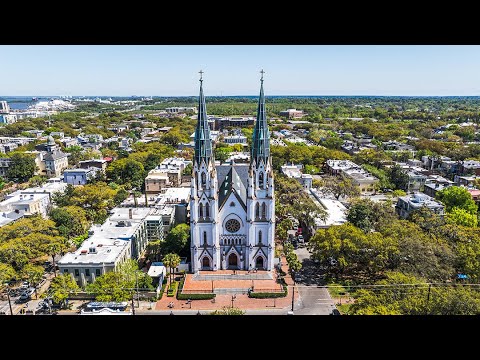
Aerial Photography
-
Aerial Videography
-

Agricultural Shows & Events
-

Amateur & College Sports
-

Building & Structural Inspections
-

Cinematography
-

Coastal & Marine Surveys
-

Commercial Real Estate
-

Concerts & Festivals
-

Construction Site Monitoring
-

Corporate Events
-

Crop Monitoring
-

Dam & Reservoir Surveillance
-

Destination Marketing
-

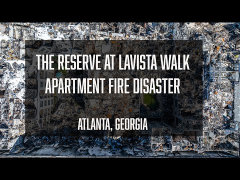
Disaster Assessments
-

Energy & Utilities Monitoring
-

Entertainment & Media
-

Environmental Impact Studies
-

Events & Ceremonies
-

Film & TV Production
-

Fire Surveillance
-

Forest Surveys
-

Historical Properties
-

Infrastructure & Construction
-

Infrastructure Assessments
-

Insurance Inspections
-

Land & Topographic Surveys
-

Large Estates & Mansions
-

Mining & Quarry Inspection
-

Mixed Use Real Estate
-

Orthomosaics
-

Photogrammetry
-

Photography
-

Real Estate
-

Real Estate Photography
-

Residential Real Estate
-

Resort & Hotel Promotion
-

Search & Rescue
-

Thermal Imaging
-

Tourism & Travel
-

Urban Planning & Development
-

Videography
-

Weddings
-

Wildlife Monitoring
Drone Certifications
-

FAA Part-107 Licensed Drone Pilot #4450682