Home
Find By Categories
Explore projects by categories
View All
Infrastructure & Construction
Construction Site Monitoring
Dam & Reservoir Surveillance
Energy & Utilities Monitoring
GIS & LiDAR
Infrastructure Assessments
Transport & Logistics
Urban Planning & Development
Surveys & Inspections
Mapping & GIS
Orthomosaics
Photogrammetry
Roof Inspections
Solar Inspection & Survey
Thermal Imaging
Topographic Survey
Tower Inspection
Real Estate
3D Virtual Tours
Commercial Real Estate
Investment Property
Large Estates & Mansions
Real Estate Photography
Residential Real Estate
Vacant Land
Explore services by categories
View All
Tourism & Travel
Adventure Tourism
Destination Marketing
Resort & Hotel Promotion
Agriculture & Farming
Agricultural drone mapping
Agricultural Shows & Events
Crop Monitoring
Livestock Recovery
Livestock Surveillance
Environmental & Conservation
Coastal & Marine Surveys
Disaster Assessments
Environmental Impact Studies
About Us
Explore projects by categories
View All
Infrastructure & Construction
Construction Site Monitoring
Dam & Reservoir Surveillance
Energy & Utilities Monitoring
GIS & LiDAR
Infrastructure Assessments
Transport & Logistics
Urban Planning & Development
Surveys & Inspections
Mapping & GIS
Orthomosaics
Photogrammetry
Roof Inspections
Solar Inspection & Survey
Thermal Imaging
Topographic Survey
Tower Inspection
Real Estate
3D Virtual Tours
Commercial Real Estate
Investment Property
Large Estates & Mansions
Real Estate Photography
Residential Real Estate
Vacant Land
Explore services by categories
View All
Tourism & Travel
Adventure Tourism
Destination Marketing
Resort & Hotel Promotion
Agriculture & Farming
Agricultural drone mapping
Agricultural Shows & Events
Crop Monitoring
Livestock Recovery
Livestock Surveillance
Environmental & Conservation
Coastal & Marine Surveys
Disaster Assessments
Environmental Impact Studies
How It Works
Explore projects by categories
View All
Infrastructure & Construction
Construction Site Monitoring
Dam & Reservoir Surveillance
Energy & Utilities Monitoring
GIS & LiDAR
Infrastructure Assessments
Transport & Logistics
Urban Planning & Development
Surveys & Inspections
Mapping & GIS
Orthomosaics
Photogrammetry
Roof Inspections
Solar Inspection & Survey
Thermal Imaging
Topographic Survey
Tower Inspection
Real Estate
3D Virtual Tours
Commercial Real Estate
Investment Property
Large Estates & Mansions
Real Estate Photography
Residential Real Estate
Vacant Land
Explore services by categories
View All
Tourism & Travel
Adventure Tourism
Destination Marketing
Resort & Hotel Promotion
Agriculture & Farming
Agricultural drone mapping
Agricultural Shows & Events
Crop Monitoring
Livestock Recovery
Livestock Surveillance
Environmental & Conservation
Coastal & Marine Surveys
Disaster Assessments
Environmental Impact Studies
Contact Us
Explore projects by categories
View All
Infrastructure & Construction
Construction Site Monitoring
Dam & Reservoir Surveillance
Energy & Utilities Monitoring
GIS & LiDAR
Infrastructure Assessments
Transport & Logistics
Urban Planning & Development
Surveys & Inspections
Mapping & GIS
Orthomosaics
Photogrammetry
Roof Inspections
Solar Inspection & Survey
Thermal Imaging
Topographic Survey
Tower Inspection
Real Estate
3D Virtual Tours
Commercial Real Estate
Investment Property
Large Estates & Mansions
Real Estate Photography
Residential Real Estate
Vacant Land
Explore services by categories
View All
Tourism & Travel
Adventure Tourism
Destination Marketing
Resort & Hotel Promotion
Agriculture & Farming
Agricultural drone mapping
Agricultural Shows & Events
Crop Monitoring
Livestock Recovery
Livestock Surveillance
Environmental & Conservation
Coastal & Marine Surveys
Disaster Assessments
Environmental Impact Studies
Distance in (Mile)
300
Pilots
Pilots
Jobs
Services
Sign In
Register
All Categories
Agriculture & Farming
Drone Delivery services
Emergency Services
Environmental & Conservation
Events & Ceremonies
Infrastructure & Construction
Photography
Real Estate
Sporting Events
Spraying
Surveys & Inspections
Tourism & Travel
Videography
Damage Assessment
Inspections
Drone Mapping
Boundary Surveying
Aerial Photogrammetry
Topographic Surveying
Drone Services
Drone Pilot Kevin S
Home
Pilots
Kevin S
Drone Job Categories
Adventure Tourism
Aerial Inspections
Aerial Photography
Aerial Videography
Commercial Real Estate
Construction Site Monitoring
Corporate Events
Events & Ceremonies
Historical Properties
Mixed Use Real Estate
Orthomosaics
Photogrammetry
Photography
Real Estate
Residential Real Estate
+6 more
Drone Certifications
FAA Part-107 Licensed Drone Pilot #4767520
Services
Kevin S
Land Photography (3 Hr)
0
/5.0
User review
Youngsville, North Carolina
Starting from
$150.00
Kevin S
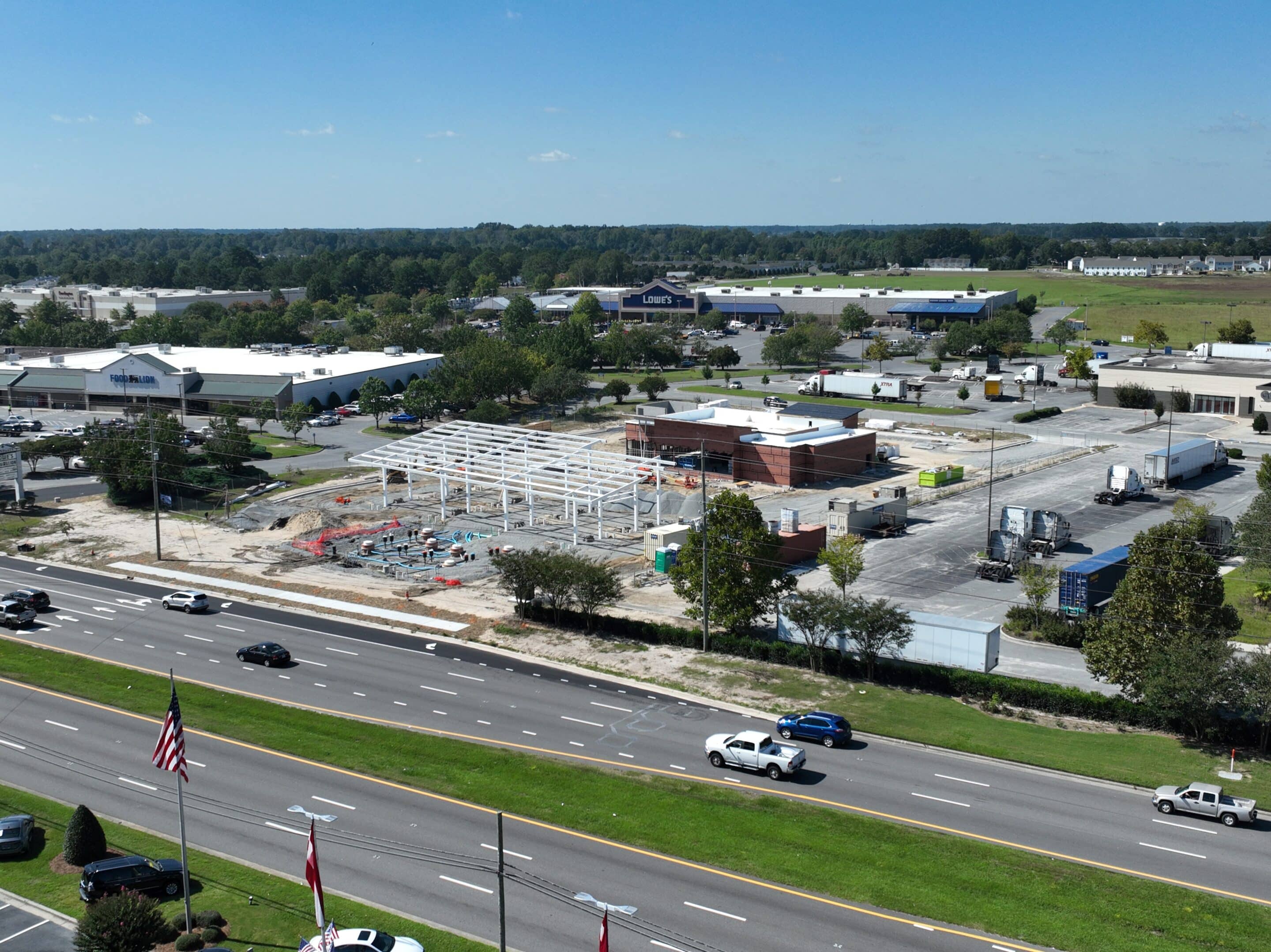
Construction Site Progress
0
/5.0
User review
Youngsville, North Carolina
Starting from
$150.00
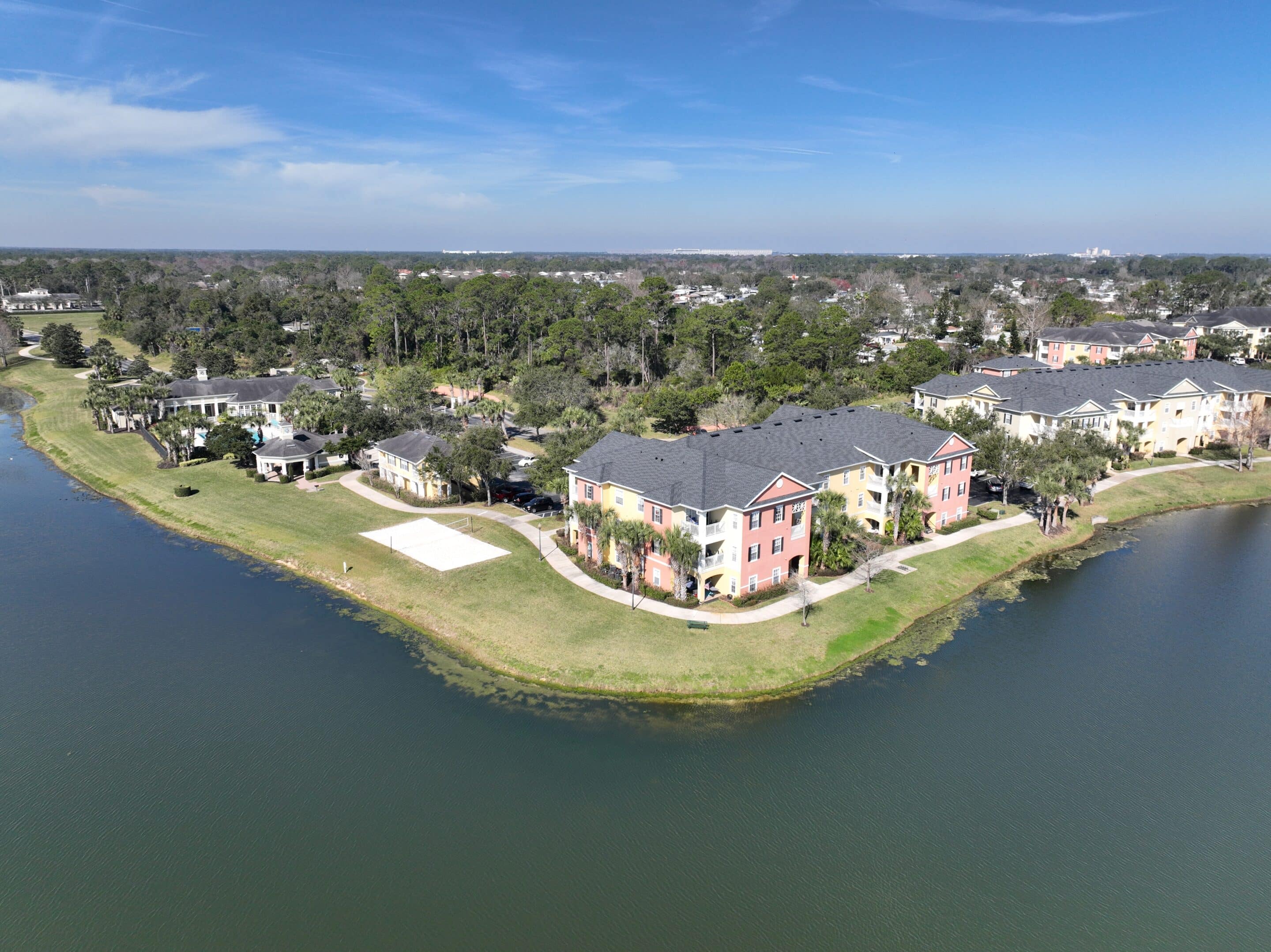
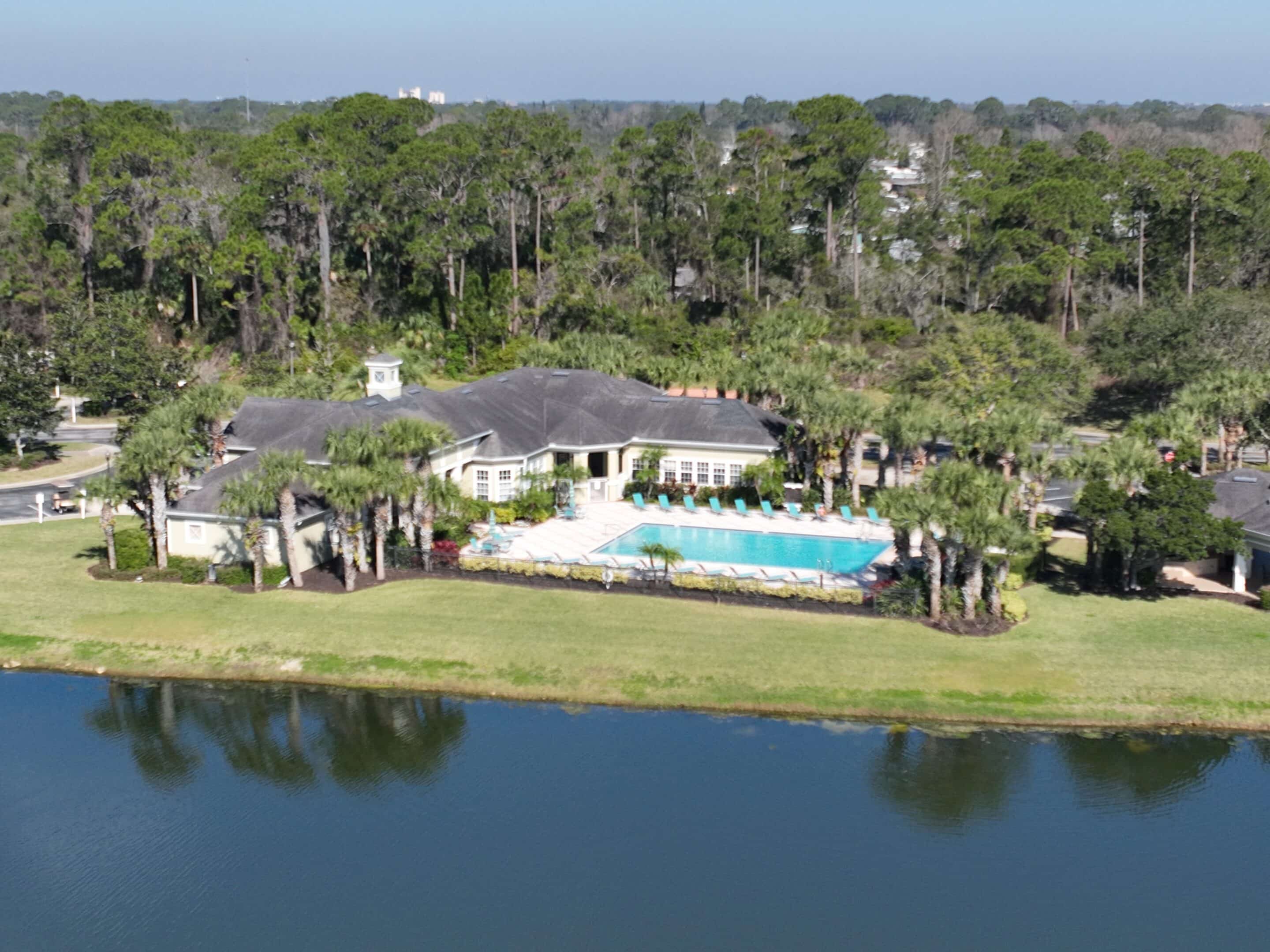
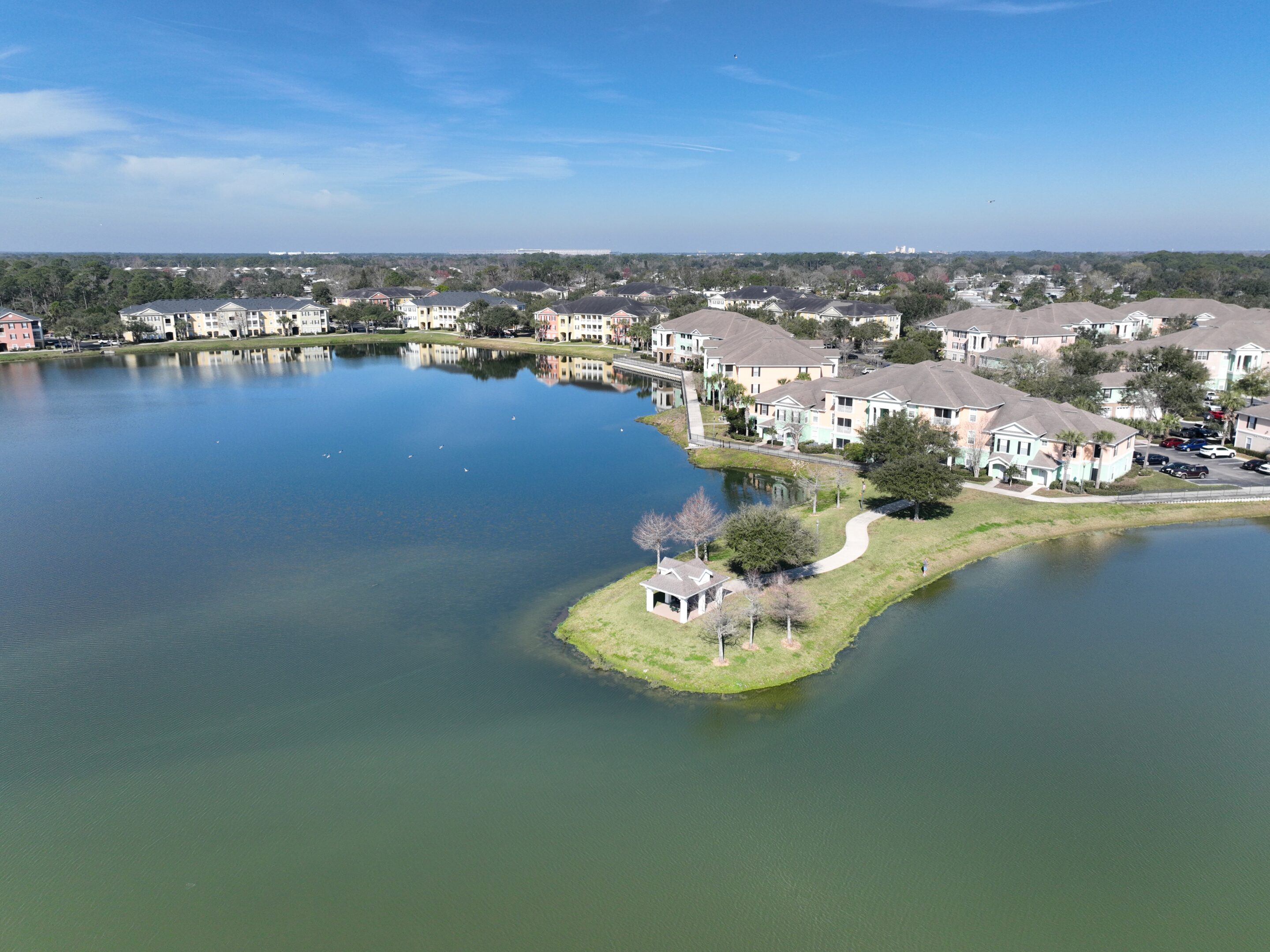
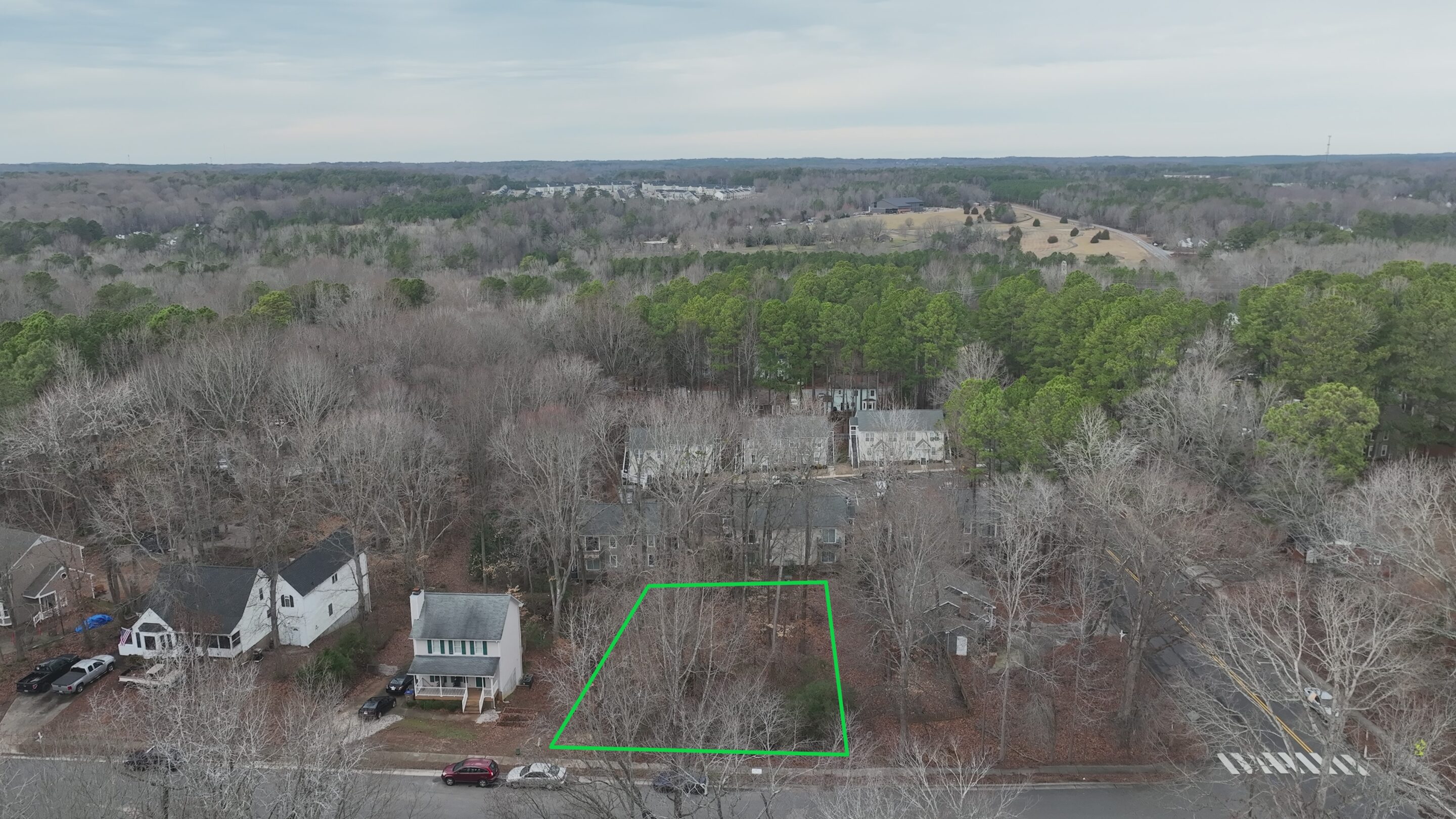
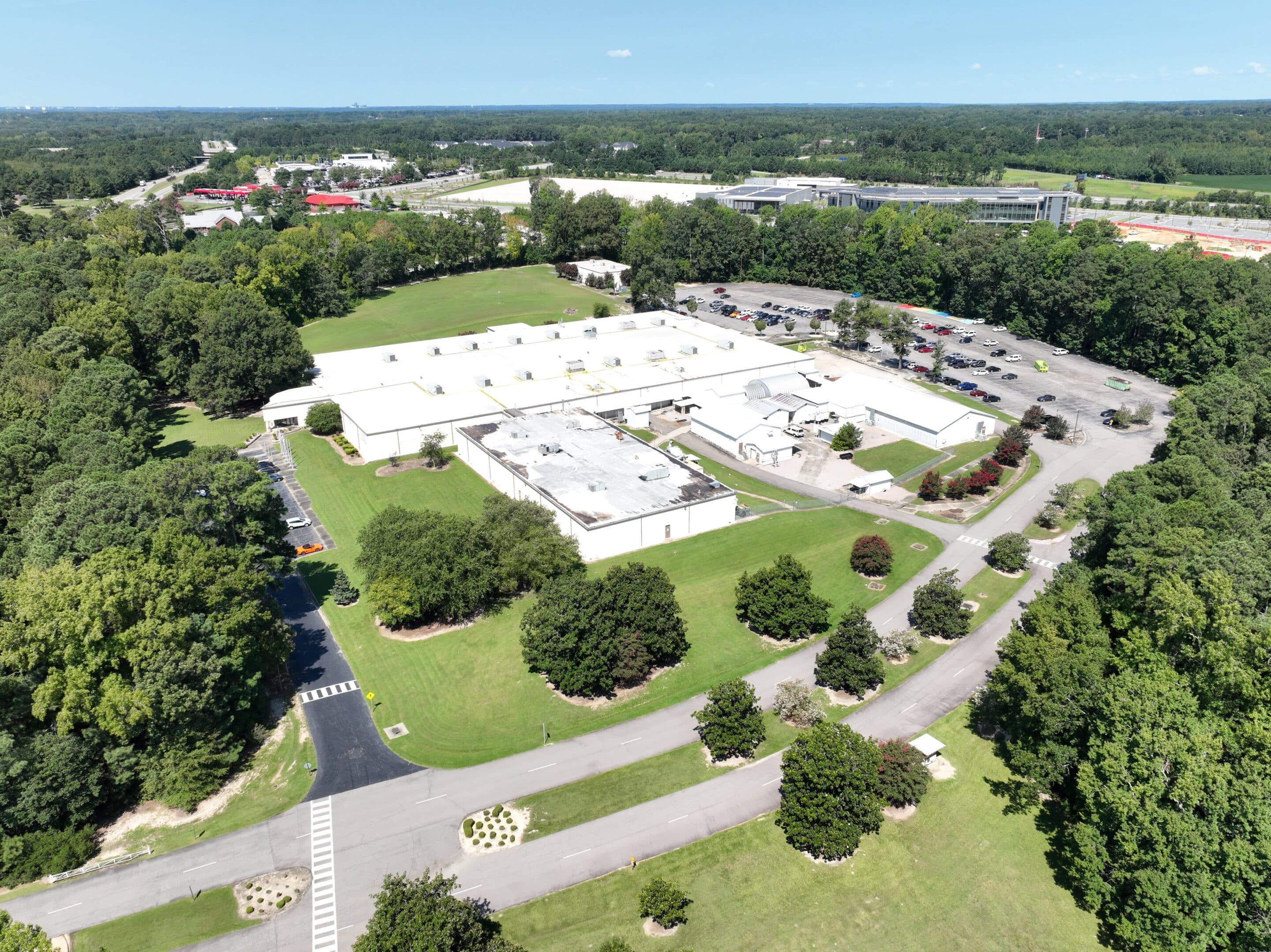
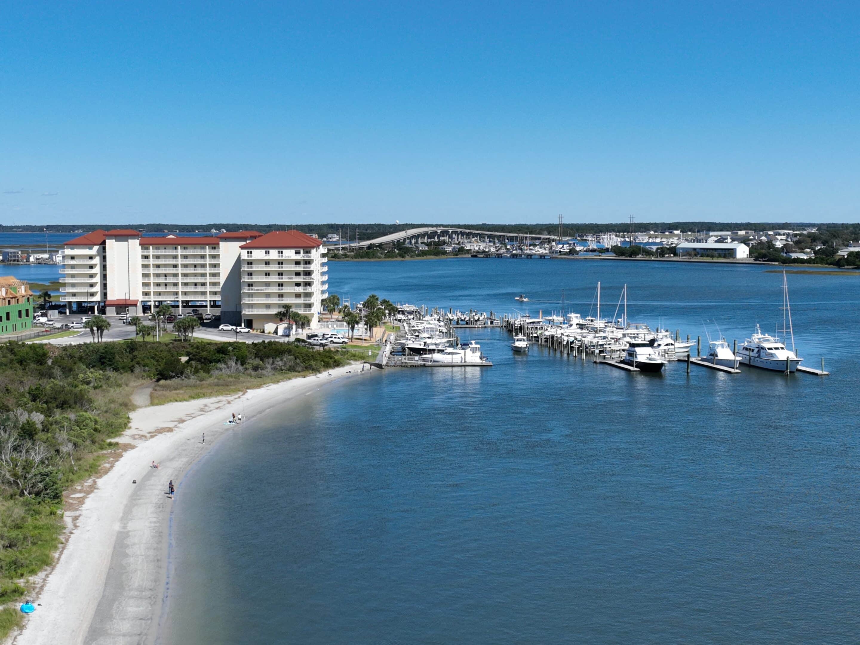
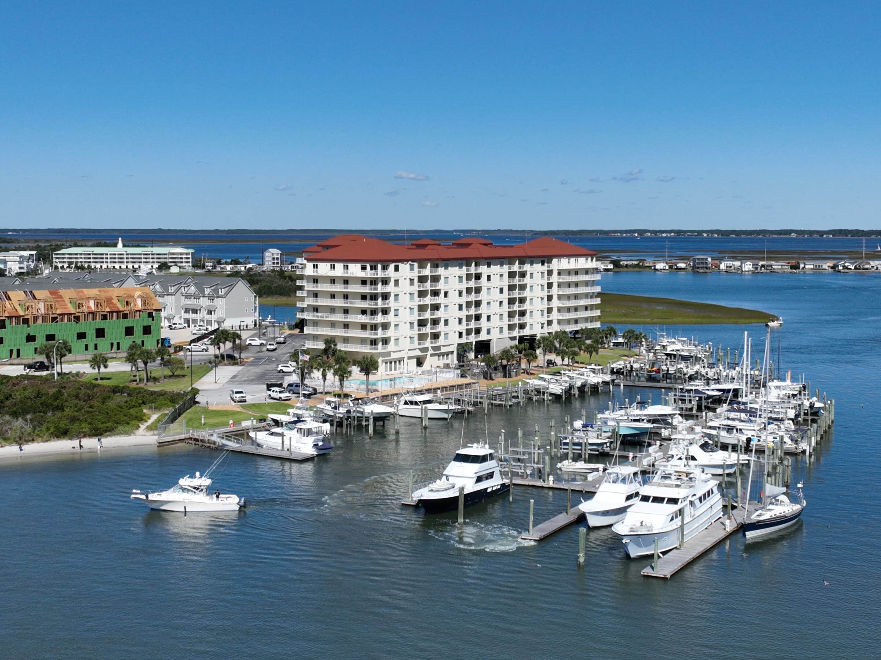
Drone Portfolio
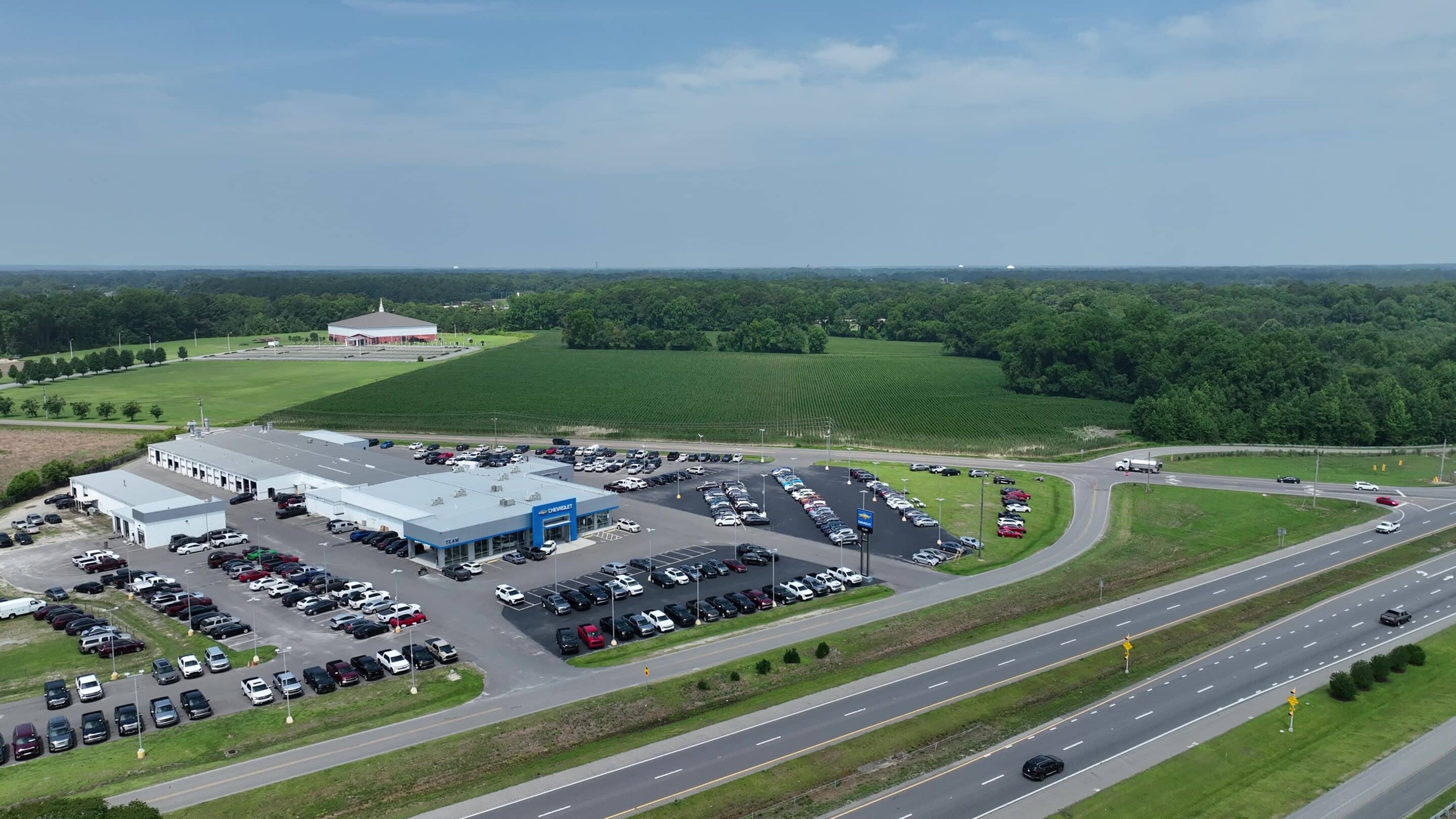
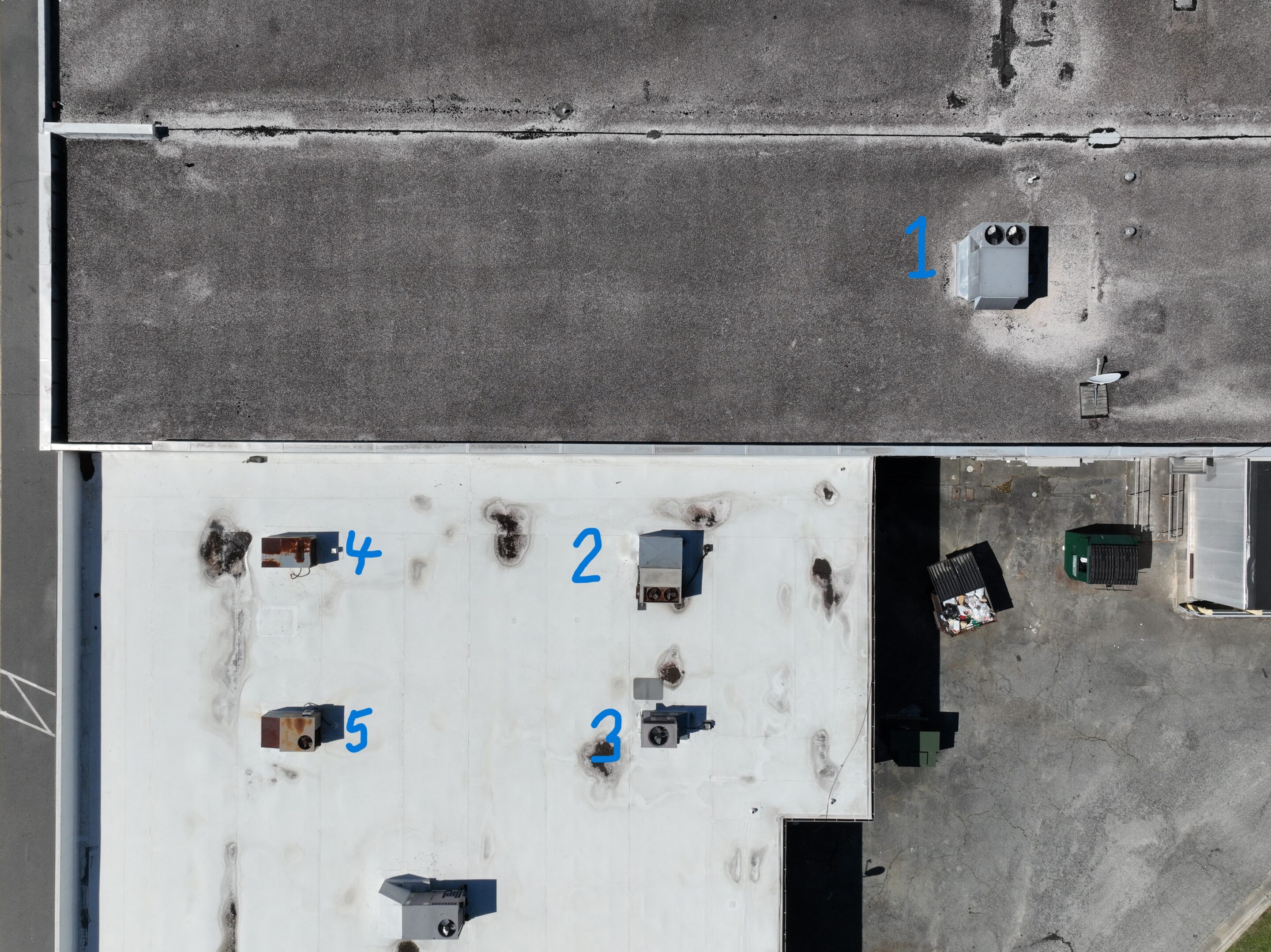
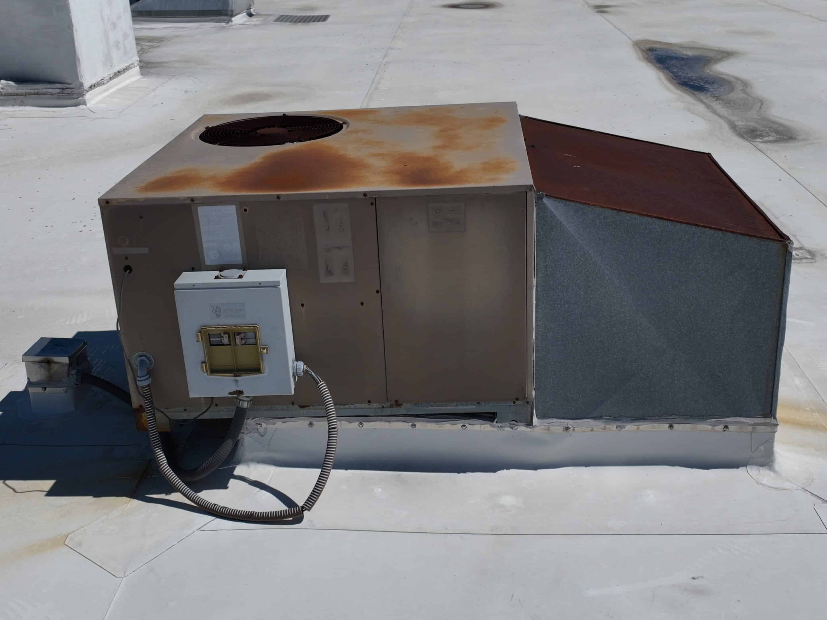
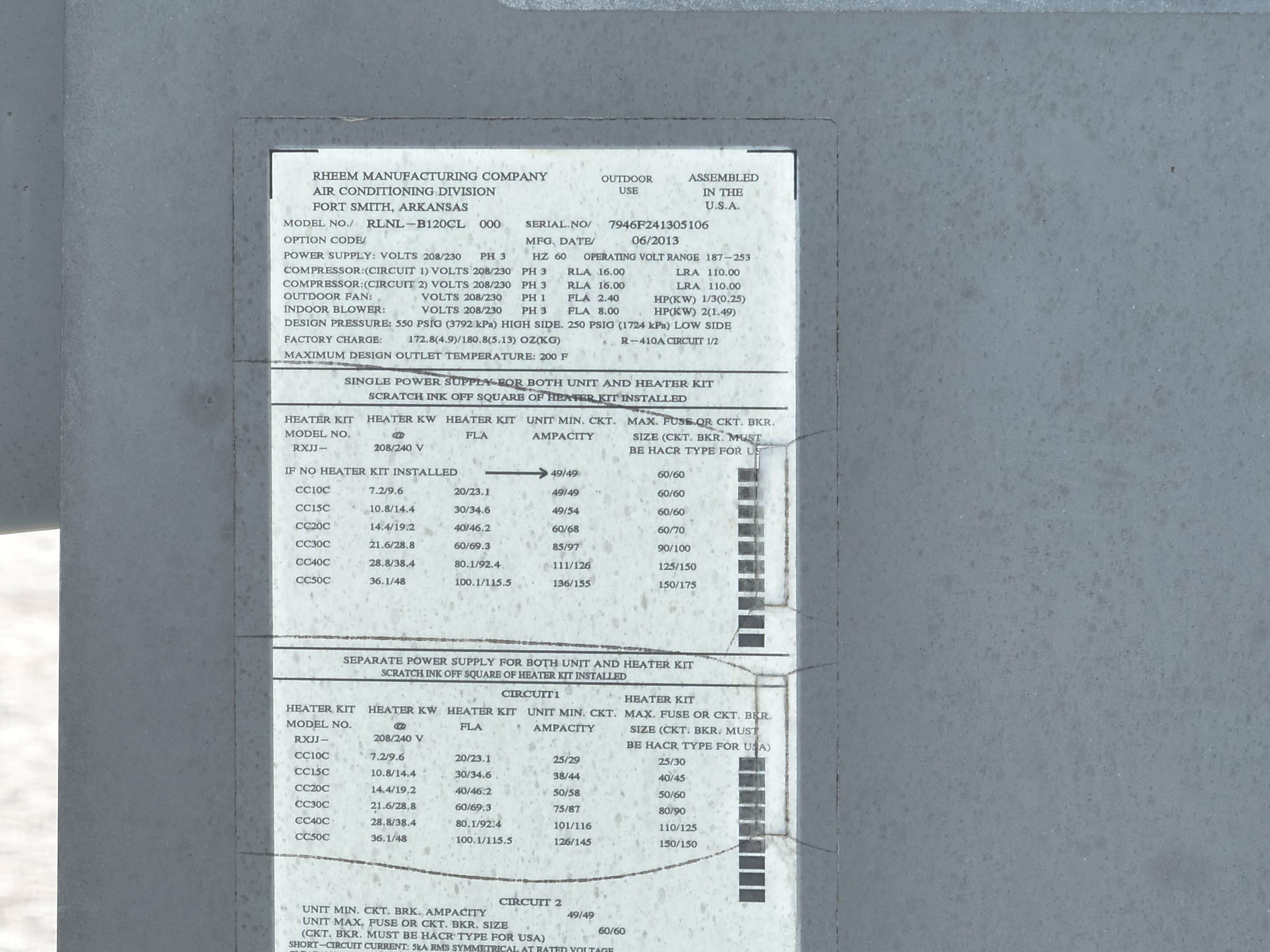
Kevin Swiger gallery
Kevin Swiger video
Kevin Swiger video
Kevin Swiger video
1
2
3
Choose User Type
Add credit to your wallet
Add funds now
*
You will be redirected to the checkout page to add your billing details.
Add FAQ
Add title:
Add description:
Click “Save & Update” to update your faq
Save & Update
Reject service approval request
Send
Choose User Type