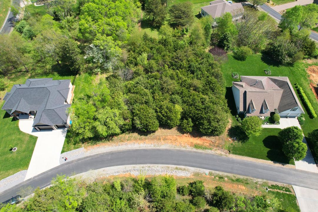

Budget-friendly, on-demand drone photography and high-resolution ground photo capture tailored for rural land parcels, off-grid acreage, residential lots, and expansive ranches across all 50 US states. Dispatches local expert photographers to capture boundary lines, terrain features, and access roads.
Key Details & Capabilities:
-
Nationwide Dispatch Network: Over 3,000 professional landscape photographers dispatched across 180,000+ miles of US territory.
-
Rural & Urban Airspace Equipped: Outfitted for remote off-grid travel as well as permitted flights within complex urban LAANC airspaces.
-
Cost-Effective Raw & Edited Options: Entry-level raw shoot packages starting at competitive, transparent rates with rapid file delivery.
-
Scalable Lot Coverage: Servicing parcels ranging from a quarter-acre residential lot up to million-acre ranch properties.
Location
Fequently asked questions
Can Acrefly capture remote or off-grid land parcels without road access?
Yes, Acrefly’s network of photographers is fully equipped for rural, off-grid travel to reach remote acreage nationwide.
How quickly are raw and edited land photos delivered?
Raw files are made available shortly after flight completion, with fully edited photo and video assets delivered within standard fast-turnaround timelines.