
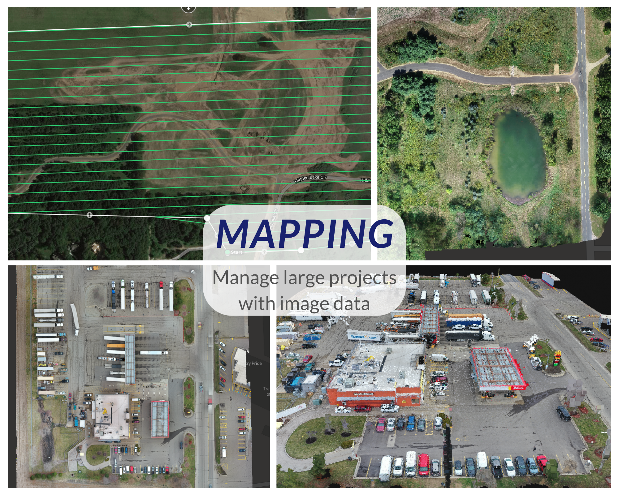


Precision drone mapping services capturing high-resolution orthomosaic imagery and spatial data for site development, land analysis, and commercial property planning.
Capabilities & Services Offered:
-
Overhead grid capture for 2D orthomosaic mapping and spatial layouts.
-
Visual land data collection for site development and property management.
-
High-detail aerial imagery supporting planning, boundaries, and site assessments.
-
Fast digital data turnarounds tailored to technical client specifications.
Location
Fequently asked questions
What is drone mapping used for?
Drone mapping produces detailed overhead orthomosaic images and spatial datasets used in site planning, land surveys, and development assessments.
Is the operator FAA licensed to fly commercial drone mapping missions?
Yes, all commercial drone flights are conducted by a licensed remote UAV pilot.